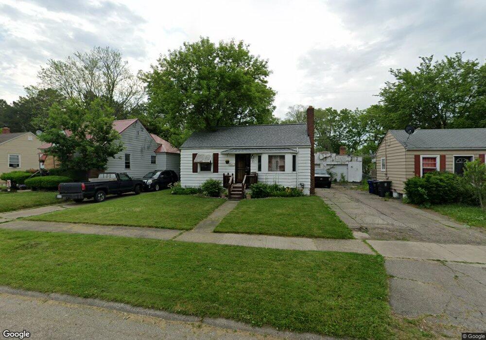
805 Mann Ave Flint, MI 48503
Glendale NeighborhoodEstimated Value: $45,000 - $72,000
2
Beds
1
Bath
805
Sq Ft
$78/Sq Ft
Est. Value
About This Home
This home is located at 805 Mann Ave, Flint, MI 48503 and is currently estimated at $63,064, approximately $78 per square foot. 805 Mann Ave is a home located in Genesee County with nearby schools including Durant-Tuuri-Mott Elementary School, St. Paul Lutheran School, and First Flint Seventh-day Adventist Christian School.
Ownership History
Date
Name
Owned For
Owner Type
Purchase Details
Closed on
Oct 18, 2022
Sold by
Wilson Ricquea
Bought by
Edwards Corian
Current Estimated Value
Purchase Details
Closed on
Apr 29, 2005
Sold by
Slater Sandra and Rutherford Sandra
Bought by
Wilson Ricquea
Purchase Details
Closed on
Jun 22, 1999
Sold by
Chapman T L
Bought by
Rutherford Sandra
Purchase Details
Closed on
Dec 14, 1998
Sold by
Chapman Gregory
Bought by
Chapman Tina
Create a Home Valuation Report for This Property
The Home Valuation Report is an in-depth analysis detailing your home's value as well as a comparison with similar homes in the area
Home Values in the Area
Average Home Value in this Area
Purchase History
| Date | Buyer | Sale Price | Title Company |
|---|---|---|---|
| Edwards Corian | -- | -- | |
| Wilson Ricquea | $76,500 | First American Title | |
| Rutherford Sandra | $66,500 | Sargents Title Company Llc | |
| Chapman Tina | -- | -- |
Source: Public Records
Tax History
| Year | Tax Paid | Tax Assessment Tax Assessment Total Assessment is a certain percentage of the fair market value that is determined by local assessors to be the total taxable value of land and additions on the property. | Land | Improvement |
|---|---|---|---|---|
| 2025 | $1,578 | $27,500 | $0 | $0 |
| 2024 | $1,452 | $24,000 | $0 | $0 |
| 2023 | $1,411 | $17,500 | $0 | $0 |
| 2022 | $0 | $14,800 | $0 | $0 |
| 2021 | $1,004 | $13,700 | $0 | $0 |
| 2020 | $902 | $13,400 | $0 | $0 |
| 2019 | $880 | $13,400 | $0 | $0 |
| 2018 | $887 | $12,900 | $0 | $0 |
| 2017 | $888 | $0 | $0 | $0 |
| 2016 | $882 | $0 | $0 | $0 |
| 2015 | -- | $0 | $0 | $0 |
| 2014 | -- | $0 | $0 | $0 |
| 2012 | -- | $16,200 | $0 | $0 |
Source: Public Records
Map
Nearby Homes
- 916 Mann Ave
- 3302 Van Buren Ave
- 960 Mann Ave
- 911 Hughes Ave
- 976 Barney Ave
- 3517 Norwood Dr
- 945 Salisbury Ave
- 3405 Sherwood Dr
- 2710 Mansfield Ave
- 0000 Beecher Rd
- 932 Bradley Ave
- 1017 Stocker Ave
- 2663 W Court St
- 3617 Sherwood Dr
- 3709 Brentwood Dr
- 3320 Pencombe Place
- 863 Tacken St
- 1122 Stocker Ave
- 320 Sheffield Ave
- 870 Tacken St
Your Personal Tour Guide
Ask me questions while you tour the home.