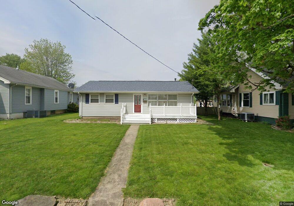
805 N 19th St Mattoon, IL 61938
Estimated Value: $111,000 - $131,000
3
Beds
1
Bath
1,157
Sq Ft
$103/Sq Ft
Est. Value
About This Home
This home is located at 805 N 19th St, Mattoon, IL 61938 and is currently estimated at $119,387, approximately $103 per square foot. 805 N 19th St is a home located in Coles County with nearby schools including Mattoon High School, St Mary School, and St. John's Lutheran School.
Ownership History
Date
Name
Owned For
Owner Type
Purchase Details
Closed on
Mar 29, 2011
Sold by
Hughes Joshua J and Hughes Christine M
Bought by
Ratlife Jeffery A
Current Estimated Value
Home Financials for this Owner
Home Financials are based on the most recent Mortgage that was taken out on this home.
Original Mortgage
$80,750
Outstanding Balance
$56,022
Interest Rate
4.92%
Mortgage Type
New Conventional
Estimated Equity
$63,365
Create a Home Valuation Report for This Property
The Home Valuation Report is an in-depth analysis detailing your home's value as well as a comparison with similar homes in the area
Home Values in the Area
Average Home Value in this Area
Purchase History
| Date | Buyer | Sale Price | Title Company |
|---|---|---|---|
| Ratlife Jeffery A | $85,000 | None Available |
Source: Public Records
Mortgage History
| Date | Status | Borrower | Loan Amount |
|---|---|---|---|
| Open | Ratlife Jeffery A | $80,750 |
Source: Public Records
Tax History Compared to Growth
Tax History
| Year | Tax Paid | Tax Assessment Tax Assessment Total Assessment is a certain percentage of the fair market value that is determined by local assessors to be the total taxable value of land and additions on the property. | Land | Improvement |
|---|---|---|---|---|
| 2024 | $2,590 | $36,479 | $3,896 | $32,583 |
| 2023 | $2,349 | $32,571 | $3,479 | $29,092 |
| 2022 | $2,276 | $32,033 | $3,422 | $28,611 |
| 2021 | $2,261 | $29,423 | $3,143 | $26,280 |
| 2020 | $2,231 | $30,485 | $3,256 | $27,229 |
| 2019 | $2,178 | $29,423 | $3,143 | $26,280 |
| 2018 | $2,139 | $29,423 | $3,143 | $26,280 |
| 2017 | $2,132 | $29,423 | $3,143 | $26,280 |
| 2016 | $2,087 | $29,423 | $3,143 | $26,280 |
| 2015 | $1,640 | $29,423 | $3,143 | $26,280 |
| 2014 | $1,640 | $29,423 | $3,143 | $26,280 |
| 2013 | $1,640 | $29,423 | $3,143 | $26,280 |
Source: Public Records
Map
Nearby Homes
- 1816 Grant Ave
- 1904 Dewitt Ave
- 1908 Dewitt Ave
- 1905 Dewitt Ave
- 2016 Douglas Ave
- 2104 Moultrie Ave
- 1705 Dewitt Ave
- 1900 Champaign Ave
- 1612 Richmond Ave
- 2509 Moultrie Ave
- 1412 Champaign Ave
- 2504 Shelby Ave
- 2608 Shelby Ave
- 817 N 11th St
- 2713 Moultrie Ave
- 2400 Western Ave
- 1205 Champaign Ave
- 1021 Piatt Ave
- 2720 Champaign Ave
- 1120 N 11th St