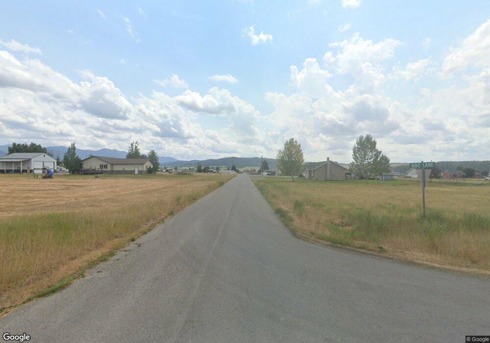
805 N 1st West St Auburn, WY 83111
Estimated Value: $574,781 - $626,000
4
Beds
2
Baths
1,674
Sq Ft
$355/Sq Ft
Est. Value
About This Home
This home is located at 805 N 1st West St, Auburn, WY 83111 and is currently estimated at $593,594, approximately $354 per square foot. 805 N 1st West St is a home located in Lincoln County with nearby schools including Afton Elementary School, Osmond Elementary School, and Star Valley Middle School.
Ownership History
Date
Name
Owned For
Owner Type
Purchase Details
Closed on
May 21, 2015
Sold by
Aagard Julie Family Trust
Bought by
Bevan Michael and Bevan Krystal June
Current Estimated Value
Home Financials for this Owner
Home Financials are based on the most recent Mortgage that was taken out on this home.
Original Mortgage
$159,200
Interest Rate
3.97%
Mortgage Type
New Conventional
Create a Home Valuation Report for This Property
The Home Valuation Report is an in-depth analysis detailing your home's value as well as a comparison with similar homes in the area
Home Values in the Area
Average Home Value in this Area
Purchase History
| Date | Buyer | Sale Price | Title Company |
|---|---|---|---|
| Bevan Michael | -- | Alliance Title & Escrow |
Source: Public Records
Mortgage History
| Date | Status | Borrower | Loan Amount |
|---|---|---|---|
| Previous Owner | Bevan Michael | $159,200 |
Source: Public Records
Tax History Compared to Growth
Tax History
| Year | Tax Paid | Tax Assessment Tax Assessment Total Assessment is a certain percentage of the fair market value that is determined by local assessors to be the total taxable value of land and additions on the property. | Land | Improvement |
|---|---|---|---|---|
| 2025 | $2,599 | $30,664 | $2,697 | $27,967 |
| 2024 | $2,599 | $41,001 | $3,597 | $37,404 |
| 2023 | $2,657 | $41,873 | $3,597 | $38,276 |
| 2022 | $2,144 | $33,833 | $2,991 | $30,842 |
| 2021 | $1,512 | $23,649 | $2,301 | $21,348 |
| 2020 | $1,388 | $21,663 | $2,301 | $19,362 |
| 2019 | $1,347 | $20,950 | $1,641 | $19,309 |
| 2018 | $1,198 | $18,536 | $1,641 | $16,895 |
| 2017 | $1,035 | $16,183 | $1,641 | $14,542 |
| 2016 | -- | $14,797 | $0 | $14,797 |
| 2015 | -- | $13,760 | $0 | $13,760 |
| 2014 | -- | $13,598 | $0 | $13,598 |
Source: Public Records
Map
Nearby Homes
- 350 Worton Ln
- 188 Main St
- 3 Tom's Canyon Rd
- 2 Tom's Canyon Rd
- 2.84 ACRES Third St W
- LOT 2 & 3 Toms Canyon Rd
- 31 ACRES County Road 238
- 1365 Tom's Canyon Rd
- 0 80 Acres Nya Hwy 238
- LOT Ridge Rd
- 125 Wagon Rut Ln
- 80 Spackman Ln
- 441 S Grover Rd
- 44 ACRES U S Highway 89
- 5 Chaparro Ln
- 1802 Dusty Trail
- 79 Auburn-Forest Rd
- 91008 U S 89
- 367 Sunny Meadow Ct
- 45 First St
- 245 Worton Ln
- 724 1st West St
- 706 2nd N St W
- 216 Worton Ln
- 176 3rd West St
- 176 Worton Ln
- 120 W 1st North St
- 0 2nd North and 3rd W Unit 16-159
- 706 3rd St W
- 706 N 3rd West St
- 3314 1st N 1st W
- 2.84 Acres 3rd St W
- 0 Auburn-Tygee Rd Unit 5-2025
- 0 Auburn-Tygee Rd Unit 9-1987
- 0 Auburn-Tygee Rd Unit 10-1286
- 0 Auburn-Tygee Rd Unit 8-969
- 133 N 2nd West St
- 550 N 1st West St
- 94 Worton Ln
- 525 N 2nd West St
