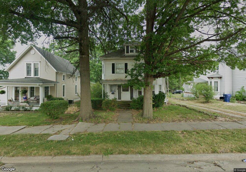
805 N Main St Brookfield, MO 64628
Estimated Value: $152,000 - $193,023
4
Beds
3
Baths
3,780
Sq Ft
$46/Sq Ft
Est. Value
About This Home
This home is located at 805 N Main St, Brookfield, MO 64628 and is currently estimated at $175,006, approximately $46 per square foot. 805 N Main St is a home located in Linn County with nearby schools including Brookfield Elementary School, Brookfield Middle School, and Brookfield High School.
Ownership History
Date
Name
Owned For
Owner Type
Purchase Details
Closed on
Jul 1, 2021
Sold by
Frock Robert W and Frock Lorinda F
Bought by
Smith Eric and Hull Bobbie
Current Estimated Value
Home Financials for this Owner
Home Financials are based on the most recent Mortgage that was taken out on this home.
Original Mortgage
$80,100
Outstanding Balance
$65,891
Interest Rate
2.9%
Mortgage Type
Construction
Estimated Equity
$109,115
Purchase Details
Closed on
May 21, 2020
Sold by
Harper and Andrew
Bought by
Frock Robert W
Home Financials for this Owner
Home Financials are based on the most recent Mortgage that was taken out on this home.
Original Mortgage
$62,900
Interest Rate
3.3%
Mortgage Type
Construction
Purchase Details
Closed on
Sep 28, 2016
Sold by
Sauer Cheryl G
Bought by
Harper Kristie and Harper Andrew
Purchase Details
Closed on
Apr 1, 2005
Bought by
Stark Kenneth J and Stark Martha L
Create a Home Valuation Report for This Property
The Home Valuation Report is an in-depth analysis detailing your home's value as well as a comparison with similar homes in the area
Home Values in the Area
Average Home Value in this Area
Purchase History
| Date | Buyer | Sale Price | Title Company |
|---|---|---|---|
| Smith Eric | $100,125 | -- | |
| Frock Robert W | $78,625 | -- | |
| Harper Kristie | -- | Monarch Title Co Inc | |
| Stark Kenneth J | -- | -- |
Source: Public Records
Mortgage History
| Date | Status | Borrower | Loan Amount |
|---|---|---|---|
| Open | Smith Eric | $80,100 | |
| Previous Owner | Frock Robert W | $62,900 |
Source: Public Records
Tax History
| Year | Tax Paid | Tax Assessment Tax Assessment Total Assessment is a certain percentage of the fair market value that is determined by local assessors to be the total taxable value of land and additions on the property. | Land | Improvement |
|---|---|---|---|---|
| 2025 | -- | $13,247 | $1,995 | $11,252 |
| 2024 | $8 | $12,711 | $1,995 | $10,716 |
| 2023 | $793 | $12,711 | $1,995 | $10,716 |
| 2022 | $748 | $11,932 | $1,995 | $9,937 |
| 2021 | $0 | $11,932 | $1,995 | $9,937 |
| 2020 | $749 | $11,932 | $1,995 | $9,937 |
| 2019 | $749 | $11,932 | $1,995 | $9,937 |
| 2018 | $730 | $11,685 | $1,995 | $9,690 |
| 2015 | -- | $12,312 | $1,672 | $10,640 |
| 2011 | -- | $49,200 | $2,500 | $46,700 |
Source: Public Records
Map
Nearby Homes
- 119 W Dake St
- 721 Lincoln St
- 713 Brookfield Ave
- 1002 N State St
- 420 Smith St
- 420 Mcgowan St
- 1118 Courtland St
- 1007 Country Side Dr
- 317 Macon St
- 417 Laclede Ave
- 303 Shelby St
- 627 Mcgowan St
- 117 N Main St
- 419 Nichols St
- 304 E Canal St
- 0 S State St
- 547 Harrison St
- 131 Silver Ln
- 21145 Highway 5
- 201 Percy Ln
- 731 N Main St
- 815 N Main St
- 729 N Main St
- 818 Snow St
- 812 Snow St
- 814 Snow St
- 726 Snow St
- 721 N Main St
- 827 N Main St
- 726 N Main St
- 820 Snow St
- 717 N Main St
- 718 Snow St
- 722 N Main St
- 829 N Main St
- 713 N Main St
- 822 Snow St
- 723 Snow St
- 802 N Main St
- 802 N Main St Unit 802 N. Main St. Unit 101 Brookfield, MO 64628
Your Personal Tour Guide
Ask me questions while you tour the home.