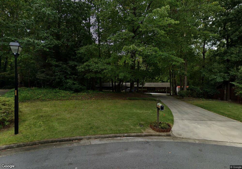
805 Ragsdale Rd Jamestown, NC 27282
Estimated Value: $407,000 - $415,000
4
Beds
3
Baths
2,814
Sq Ft
$146/Sq Ft
Est. Value
About This Home
This home is located at 805 Ragsdale Rd, Jamestown, NC 27282 and is currently estimated at $411,329, approximately $146 per square foot. 805 Ragsdale Rd is a home located in Guilford County with nearby schools including Jamestown Elementary School, Jamestown Middle School, and Ragsdale High School.
Ownership History
Date
Name
Owned For
Owner Type
Purchase Details
Closed on
May 27, 2021
Sold by
Hamilton Tanya and Hamilton Darryl I
Bought by
Hamilton Darryl L and Hamilton Tanya
Current Estimated Value
Home Financials for this Owner
Home Financials are based on the most recent Mortgage that was taken out on this home.
Original Mortgage
$300,000
Outstanding Balance
$272,035
Interest Rate
3%
Mortgage Type
VA
Estimated Equity
$139,294
Create a Home Valuation Report for This Property
The Home Valuation Report is an in-depth analysis detailing your home's value as well as a comparison with similar homes in the area
Home Values in the Area
Average Home Value in this Area
Purchase History
| Date | Buyer | Sale Price | Title Company |
|---|---|---|---|
| Hamilton Darryl L | $300,000 | None Available |
Source: Public Records
Mortgage History
| Date | Status | Borrower | Loan Amount |
|---|---|---|---|
| Open | Hamilton Darryl L | $300,000 |
Source: Public Records
Tax History Compared to Growth
Tax History
| Year | Tax Paid | Tax Assessment Tax Assessment Total Assessment is a certain percentage of the fair market value that is determined by local assessors to be the total taxable value of land and additions on the property. | Land | Improvement |
|---|---|---|---|---|
| 2025 | $3,297 | $288,200 | $110,000 | $178,200 |
| 2024 | $3,297 | $288,200 | $110,000 | $178,200 |
| 2023 | $3,297 | $288,200 | $110,000 | $178,200 |
| 2022 | $3,503 | $288,200 | $110,000 | $178,200 |
| 2021 | $2,594 | $213,400 | $75,000 | $138,400 |
| 2020 | $2,594 | $213,400 | $75,000 | $138,400 |
| 2019 | $2,558 | $213,400 | $0 | $0 |
| 2018 | $2,545 | $213,400 | $0 | $0 |
| 2017 | $2,545 | $213,400 | $0 | $0 |
| 2016 | $2,430 | $200,800 | $0 | $0 |
| 2015 | $2,440 | $200,800 | $0 | $0 |
| 2014 | $2,460 | $200,800 | $0 | $0 |
Source: Public Records
Map
Nearby Homes
- 207 Forestdale Dr
- 201 Ragsdale Rd
- 602 Oneil Dr
- 104 Ragsdale Rd
- 120 Brookberry Dr
- 107 Brookberry Dr
- 105 Forestdale Dr
- 200 Oakdale Forest Ct Unit Lot 1
- 200 Oakdale Forest Ct
- 204 Oakdale Forest Ct Unit Lot 3
- 204 Oakdale Forest Ct
- 202 Oakdale Rd
- 206 Oakdale Forest Ct Unit Lot 4
- 206 Oakdale Forest Ct
- 208 Oakdale Forest Ct Unit Lot 5
- 208 Oakdale Forest Ct
- 101 Byrnwood Dr
- 312 Quarterpath Ln
- 113 Red Plum Ln
- 2616 Glasshouse Rd
- 806 Ragsdale Rd
- 803 Ragsdale Rd
- 804 Ragsdale Rd
- 409 Forestdale Dr
- 801 Ragsdale Rd
- 503 Forestdale Dr
- 709 Ragsdale Rd
- 802 Ragsdale Rd
- 407 Forestdale Dr
- 707 Ragsdale Rd
- 505 Forestdale Dr
- 101 Ragsdale Ct
- 405 Forestdale Dr
- 507 Forestdale Dr
- 103 Ragsdale Ct
- 500 Forestdale Dr
- 404 Forestdale Dr
- 705 Ragsdale Rd
- 502 Forestdale Dr
- 100 Ragsdale Ct