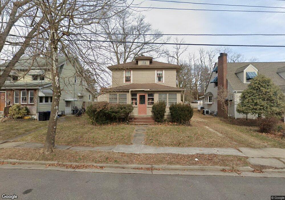
805 Rosewood Ave Point Pleasant Boro, NJ 08742
Point Pleasant Beach NeighborhoodEstimated Value: $637,159 - $766,000
3
Beds
2
Baths
1,902
Sq Ft
$384/Sq Ft
Est. Value
About This Home
This home is located at 805 Rosewood Ave, Point Pleasant Boro, NJ 08742 and is currently estimated at $729,540, approximately $383 per square foot. 805 Rosewood Ave is a home located in Ocean County with nearby schools including G Harold Antrim Elementary School, Point Pleasant Beach High School, and St. Peter School.
Ownership History
Date
Name
Owned For
Owner Type
Purchase Details
Closed on
Dec 8, 2017
Sold by
Wisnyi Anne M and Wisnyi Edward Wisnyi
Bought by
Wisnyi Edward
Current Estimated Value
Home Financials for this Owner
Home Financials are based on the most recent Mortgage that was taken out on this home.
Interest Rate
3.94%
Create a Home Valuation Report for This Property
The Home Valuation Report is an in-depth analysis detailing your home's value as well as a comparison with similar homes in the area
Home Values in the Area
Average Home Value in this Area
Purchase History
| Date | Buyer | Sale Price | Title Company |
|---|---|---|---|
| Wisnyi Edward | -- | -- |
Source: Public Records
Mortgage History
| Date | Status | Borrower | Loan Amount |
|---|---|---|---|
| Closed | Wisnyi Edward | -- |
Source: Public Records
Tax History Compared to Growth
Tax History
| Year | Tax Paid | Tax Assessment Tax Assessment Total Assessment is a certain percentage of the fair market value that is determined by local assessors to be the total taxable value of land and additions on the property. | Land | Improvement |
|---|---|---|---|---|
| 2025 | $5,745 | $334,400 | $231,000 | $103,400 |
| 2024 | $5,321 | $334,400 | $231,000 | $103,400 |
| 2023 | $5,164 | $334,400 | $231,000 | $103,400 |
| 2022 | $5,414 | $334,400 | $231,000 | $103,400 |
| 2021 | $5,044 | $334,400 | $231,000 | $103,400 |
| 2020 | $5,287 | $334,400 | $231,000 | $103,400 |
| 2019 | $5,213 | $334,400 | $231,000 | $103,400 |
| 2018 | $5,133 | $334,400 | $231,000 | $103,400 |
| 2017 | $5,053 | $334,400 | $231,000 | $103,400 |
| 2016 | $4,826 | $334,400 | $231,000 | $103,400 |
| 2015 | $4,786 | $334,400 | $231,000 | $103,400 |
| 2014 | $4,763 | $334,400 | $231,000 | $103,400 |
Source: Public Records
Map
Nearby Homes
- 818 Atlantic Ave
- 704 Forman Ave
- 606 Bay Ave Unit 2
- 606 Bay Ave Unit 3
- 909 Ocean Rd Unit 4
- 728 Arnold Ave
- 607 Richmond Ave Unit 4
- 842 Arnold Ave Unit 2
- 842 Arnold Ave Unit 3
- 503 Atlantic Ave
- 804 Clark St
- 800 Grove St
- 845 Arnold Ave Unit 3
- 1301 Bay Ave
- 1215 Johnson Ave
- 325 Hawthorne Ave Unit 327
- 528 Delaware Ave
- 326 Curtis Ave Unit Lot 27
- 1325 Bay Ave
- 303 Cooks Ln
- 807 Rosewood Ave
- 803 Rosewood Ave
- 809 Rosewood Ave
- 801 Rosewood Ave
- 808A Atlantic Ave
- 817 Rosewood Ave
- 808 Atlantic Ave
- 806 Rosewood Ave
- 1005 Gowdy Ave
- 808 Rosewood Ave
- 802 Rosewood Ave
- 1007 Gowdy Ave
- 1009 Gowdy Ave
- 819 Rosewood Ave
- 816 Rosewood Ave
- 1011 Gowdy Ave
- 818 Rosewood Ave
- 821 Rosewood Ave
- 807 Briarcliff Ave
- 1001 Gowdy Ave