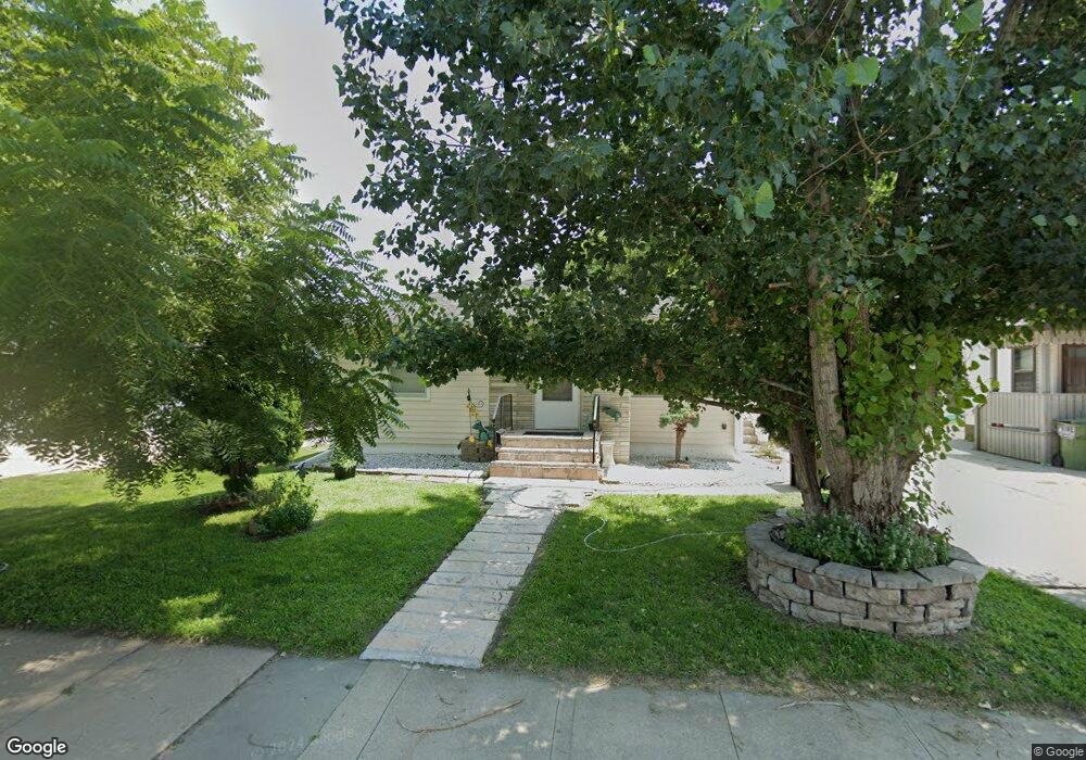
805 S 11th St Norfolk, NE 68701
Estimated Value: $169,000 - $190,000
2
Beds
1
Bath
816
Sq Ft
$217/Sq Ft
Est. Value
About This Home
This home is located at 805 S 11th St, Norfolk, NE 68701 and is currently estimated at $177,038, approximately $216 per square foot. 805 S 11th St is a home located in Madison County with nearby schools including Norfolk Senior High School, Christ Lutheran School, and Keystone Christian Academy.
Ownership History
Date
Name
Owned For
Owner Type
Purchase Details
Closed on
Sep 24, 2005
Sold by
Dufek Et Al, Dorothy I
Bought by
Manriquez Louis R and Manriquez Julia
Current Estimated Value
Home Financials for this Owner
Home Financials are based on the most recent Mortgage that was taken out on this home.
Original Mortgage
$71,950
Interest Rate
5.75%
Mortgage Type
New Conventional
Create a Home Valuation Report for This Property
The Home Valuation Report is an in-depth analysis detailing your home's value as well as a comparison with similar homes in the area
Home Values in the Area
Average Home Value in this Area
Purchase History
| Date | Buyer | Sale Price | Title Company |
|---|---|---|---|
| Manriquez Louis R | $71,000 | -- | |
| Frady Dorothy Ann | $71,000 | American Title & Escrow |
Source: Public Records
Mortgage History
| Date | Status | Borrower | Loan Amount |
|---|---|---|---|
| Closed | Frady Dorothy Ann | $71,950 |
Source: Public Records
Tax History Compared to Growth
Tax History
| Year | Tax Paid | Tax Assessment Tax Assessment Total Assessment is a certain percentage of the fair market value that is determined by local assessors to be the total taxable value of land and additions on the property. | Land | Improvement |
|---|---|---|---|---|
| 2024 | $1,971 | $157,909 | $8,354 | $149,555 |
| 2023 | $2,623 | $141,885 | $8,354 | $133,531 |
| 2022 | $2,365 | $127,578 | $8,354 | $119,224 |
| 2021 | $2,178 | $117,734 | $8,354 | $109,380 |
| 2020 | $2,005 | $108,703 | $8,354 | $100,349 |
| 2019 | $1,871 | $97,951 | $8,354 | $89,597 |
| 2018 | $1,628 | $86,680 | $6,683 | $79,997 |
| 2017 | $1,469 | $78,109 | $6,683 | $71,426 |
| 2016 | $1,363 | $72,323 | $6,188 | $66,135 |
| 2015 | $1,363 | $72,323 | $6,188 | $66,135 |
| 2014 | $1,343 | $69,174 | $6,188 | $62,986 |
| 2013 | $1,304 | $65,053 | $6,188 | $58,865 |
Source: Public Records
Map
Nearby Homes
- 705 S 10th St
- 3306 W Michigan Ave
- 3206 W Michigan Ave
- 3205 W Michigan Ave
- 3307 W Michigan Ave
- 706 Columbia St
- 602 S 10th St
- 918 S 5th St
- 103 S 13th Place
- 1217 Hayes Ave
- 404 S 12th St
- 809 S 14th St
- 410 W Michigan Ave
- 805 S 5th St
- 906 S 4th St
- 1312 Hayes Ave
- 1313 W Park Ave
- 1208 W Phillip Ave
- 603 S 4th St
- 2300 Taylor Ave