805 S Glen Rd Shelby, MI 49455
Estimated Value: $776,000 - $1,056,000
--
Bed
--
Bath
--
Sq Ft
0.44
Acres
About This Home
This home is located at 805 S Glen Rd, Shelby, MI 49455 and is currently estimated at $867,391. 805 S Glen Rd is a home located in Oceana County with nearby schools including Shelby High School.
Ownership History
Date
Name
Owned For
Owner Type
Purchase Details
Closed on
Feb 18, 2025
Sold by
J Paul Thompson Jr Trust and King John Russell
Bought by
Linda J Thompson Trust and Thompson
Current Estimated Value
Create a Home Valuation Report for This Property
The Home Valuation Report is an in-depth analysis detailing your home's value as well as a comparison with similar homes in the area
Home Values in the Area
Average Home Value in this Area
Purchase History
| Date | Buyer | Sale Price | Title Company |
|---|---|---|---|
| Linda J Thompson Trust | -- | None Listed On Document |
Source: Public Records
Tax History Compared to Growth
Tax History
| Year | Tax Paid | Tax Assessment Tax Assessment Total Assessment is a certain percentage of the fair market value that is determined by local assessors to be the total taxable value of land and additions on the property. | Land | Improvement |
|---|---|---|---|---|
| 2025 | $7,821 | $488,500 | $488,500 | $0 |
| 2024 | $3,368 | $480,500 | $480,500 | $0 |
| 2023 | $6,904 | $432,100 | $432,100 | $0 |
| 2022 | $6,904 | $384,500 | $0 | $0 |
| 2021 | $6,993 | $370,600 | $370,600 | $0 |
| 2020 | $6,342 | $363,600 | $363,600 | $0 |
| 2019 | $6,539 | $379,900 | $0 | $0 |
| 2018 | $6,389 | $354,500 | $0 | $0 |
| 2017 | $5,885 | $342,000 | $0 | $0 |
| 2016 | -- | $431,400 | $0 | $0 |
| 2013 | -- | $341,200 | $0 | $0 |
Source: Public Records
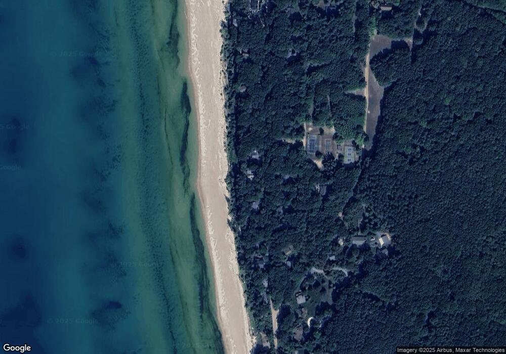
Map
Nearby Homes
- 0 Silver Lake Dr
- Lot G Hemlock Trail
- 10412 W Woodrow Rd
- 10445 W Woodrow Rd
- 0 Sable Point Dr Unit 286596
- Lot N Hemlock Trail
- Lot O Hemlock
- 1935 S Glen Rd
- 62 N 14th Ave
- 539 N Lighthouse Dr
- 2225 Apache Dr
- V/L W Woodrow Rd
- 2087 S Glen Rd
- 658 Parasail Dr
- 18 Acres 28th Ave
- Parcel G-1 28th Ave
- Parcel G-2 28th Ave
- Parcel F-2 28th Ave
- Parcel F-1 28th Ave
- VL 28th Shelby Rd