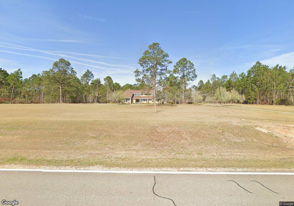
805 Us Highway 221 N Adrian, GA 31002
Estimated Value: $328,000 - $493,005
3
Beds
2
Baths
2,400
Sq Ft
$171/Sq Ft
Est. Value
About This Home
This home is located at 805 Us Highway 221 N, Adrian, GA 31002 and is currently estimated at $410,503, approximately $171 per square foot. 805 Us Highway 221 N is a home located in Emanuel County with nearby schools including Swainsboro High School.
Ownership History
Date
Name
Owned For
Owner Type
Purchase Details
Closed on
Aug 17, 1987
Sold by
Smith James E and Rosa Lee
Bought by
Powell Steve and Powell Carol
Current Estimated Value
Purchase Details
Closed on
Oct 10, 1978
Sold by
Williams Eula Mae
Bought by
Smith James E and Rosa Lee
Purchase Details
Closed on
Oct 26, 1959
Sold by
Radford Alice
Bought by
Williams Mrs Eula Mae
Create a Home Valuation Report for This Property
The Home Valuation Report is an in-depth analysis detailing your home's value as well as a comparison with similar homes in the area
Home Values in the Area
Average Home Value in this Area
Purchase History
| Date | Buyer | Sale Price | Title Company |
|---|---|---|---|
| Powell Steve | $20,000 | -- | |
| Smith James E | $30,000 | -- | |
| Williams Mrs Eula Mae | $3,000 | -- |
Source: Public Records
Tax History Compared to Growth
Tax History
| Year | Tax Paid | Tax Assessment Tax Assessment Total Assessment is a certain percentage of the fair market value that is determined by local assessors to be the total taxable value of land and additions on the property. | Land | Improvement |
|---|---|---|---|---|
| 2024 | $3,189 | $114,190 | $23,154 | $91,036 |
| 2023 | $2,456 | $105,520 | $23,154 | $82,366 |
| 2022 | $2,425 | $90,369 | $23,154 | $67,215 |
| 2021 | $2,307 | $84,385 | $23,154 | $61,231 |
| 2020 | $2,546 | $88,188 | $28,594 | $59,594 |
| 2019 | $2,531 | $88,188 | $28,594 | $59,594 |
| 2018 | $2,537 | $88,188 | $28,594 | $59,594 |
| 2017 | $2,428 | $84,190 | $28,594 | $55,596 |
| 2016 | $2,346 | $83,359 | $27,763 | $55,596 |
| 2015 | -- | $83,359 | $27,763 | $55,596 |
| 2014 | -- | $82,005 | $27,763 | $54,242 |
| 2013 | -- | $81,455 | $27,763 | $53,692 |
Source: Public Records
Map
Nearby Homes
- 546 Alton Lawson Rd
- 87 Georgia Ave
- 0 Trinity Church Rd
- 600 Alton Lawson Rd
- 400 Alton Lawson Rd
- 503 Alton Lawson Rd
- 0 Alton Lawson Rd
- 223 Kersey Rd
- 0 Sardis Church Rd Unit 10601519
- 728 Martin Rd
- 0000 Hwy 171
- 0 Asa Lindsey Rd Unit 10595336
- 0 Asa Lindsey Rd Unit 25496504
- 0 Walden Way Unit 10601502
- Old Wilson Rd
- 55 Hatcher St
- 53 Averett St
- 2195 Montgomery St
- 150 Kemp Rd
- 499 Smith Chapel Rd
- 754 Us Highway 221 N
- 768 Us Highway 221 N
- 853 Foskey Rd
- 804 Us Highway 221 N
- 804 Us Highway 221 N
- 719 U S 221
- 719 Us Highway 221 N
- 719 719 N Hwy 221
- N Hwy 221
- N Highway 221
- 816 Us Highway 221 N
- 15 Us Highway 221 Rd
- 48 Blueberry Farm Rd
- 854 Us Highway 221 N
- 799 Foskey Rd
- 667 N Highway 221
- 192 Waldon Way
- 659 Waldon Way
- 273 Georgia Ave
- 878 Us Highway 221 N