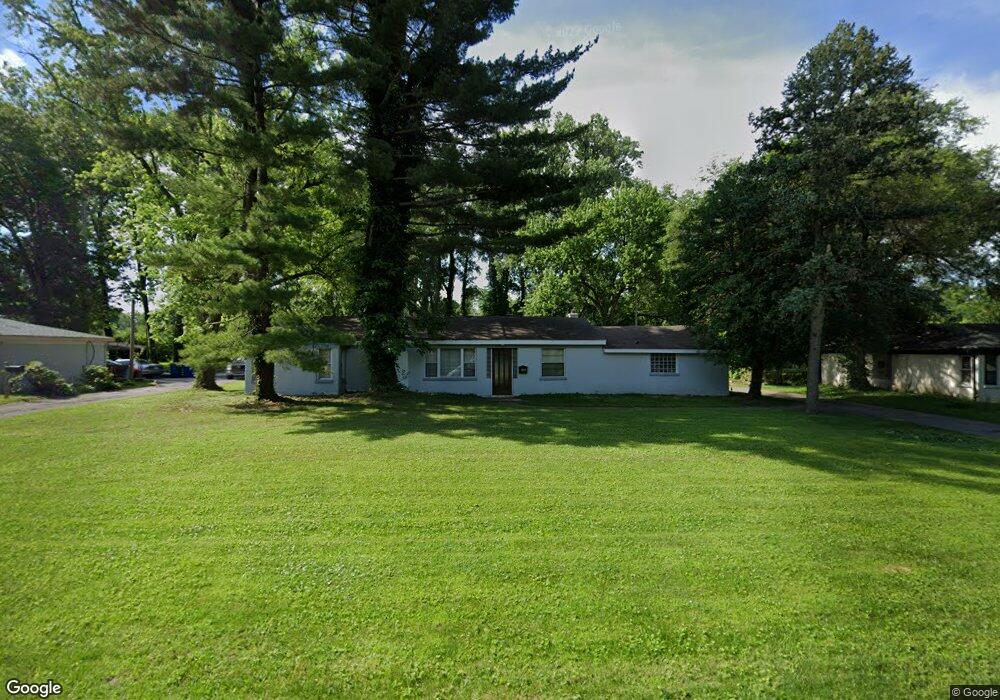
8050 Packard Ave Saint Louis, MO 63134
Estimated Value: $124,000 - $130,000
3
Beds
1
Bath
1,382
Sq Ft
$91/Sq Ft
Est. Value
About This Home
This home is located at 8050 Packard Ave, Saint Louis, MO 63134 and is currently estimated at $126,245, approximately $91 per square foot. 8050 Packard Ave is a home located in St. Louis County with nearby schools including Ferguson Middle School, Johnson Wabash Elementary School, and McCluer High School.
Ownership History
Date
Name
Owned For
Owner Type
Purchase Details
Closed on
Dec 22, 2006
Sold by
Bacott Lee M and Bacott Denise A
Bought by
Lagrone Devrick
Current Estimated Value
Home Financials for this Owner
Home Financials are based on the most recent Mortgage that was taken out on this home.
Original Mortgage
$70,125
Outstanding Balance
$47,695
Interest Rate
8.95%
Mortgage Type
Unknown
Estimated Equity
$78,550
Purchase Details
Closed on
Apr 23, 2004
Sold by
Wilson Mildred
Bought by
Bacott Lee M
Create a Home Valuation Report for This Property
The Home Valuation Report is an in-depth analysis detailing your home's value as well as a comparison with similar homes in the area
Home Values in the Area
Average Home Value in this Area
Purchase History
| Date | Buyer | Sale Price | Title Company |
|---|---|---|---|
| Lagrone Devrick | $82,500 | First Amer Title Of St Louis | |
| Bacott Lee M | -- | -- | |
| Bacott Lee M | -- | -- |
Source: Public Records
Mortgage History
| Date | Status | Borrower | Loan Amount |
|---|---|---|---|
| Open | Lagrone Devrick | $70,125 |
Source: Public Records
Tax History Compared to Growth
Tax History
| Year | Tax Paid | Tax Assessment Tax Assessment Total Assessment is a certain percentage of the fair market value that is determined by local assessors to be the total taxable value of land and additions on the property. | Land | Improvement |
|---|---|---|---|---|
| 2025 | $1,494 | $24,860 | $3,140 | $21,720 |
| 2024 | $1,494 | $19,520 | $2,510 | $17,010 |
| 2023 | $1,476 | $19,520 | $2,510 | $17,010 |
| 2022 | $1,223 | $14,080 | $1,880 | $12,200 |
| 2021 | $1,215 | $14,080 | $1,880 | $12,200 |
| 2020 | $1,122 | $12,090 | $2,890 | $9,200 |
| 2019 | $1,075 | $12,090 | $2,890 | $9,200 |
| 2018 | $1,187 | $12,080 | $3,000 | $9,080 |
| 2017 | $1,179 | $12,080 | $3,000 | $9,080 |
| 2016 | $1,056 | $10,390 | $3,380 | $7,010 |
| 2015 | $1,025 | $10,390 | $3,380 | $7,010 |
| 2014 | $1,022 | $10,340 | $3,800 | $6,540 |
Source: Public Records
Map
Nearby Homes
- 8219 Davenport Dr
- 8027 Aline Ave
- 8140 Packard Ave
- 8042 Patterson Dr
- 324 Newell Dr
- 6605 Carol Lee Dr
- 6612 Torlina Dr
- 8306 Whitewater Dr
- 213 Henquin Dr
- 6315 Washington Ave
- 6717 Thurston Ave
- 6130 Wulff Dr
- 117 Henquin Dr
- 6315 Jackson Ave
- 116 Henquin Dr
- 806 Rolwes Ave
- 6016 Shillington Dr
- 614 January Ave
- 222 Wooster Dr
- 8235 Zoe Dr
- 8058 Packard Ave
- 8066 Packard Ave
- 8041 Packard Ave
- 8034 Packard Ave
- 8031 Packard Ave
- 8051 Packard Ave
- 8074 Packard Ave
- 8026 Packard Ave
- 8017 Packard Ave
- 8061 Packard Ave
- 8046 January Ave
- 8067 Aline Ave
- 8056 January Ave
- 8065 Aline Ave
- 8100 Packard Ave
- 8034 January Ave
- 6333 Peurifoy Ave
- 8101 Packard Ave
- 8035 Plymouth Ct
- 8018 Packard Ave