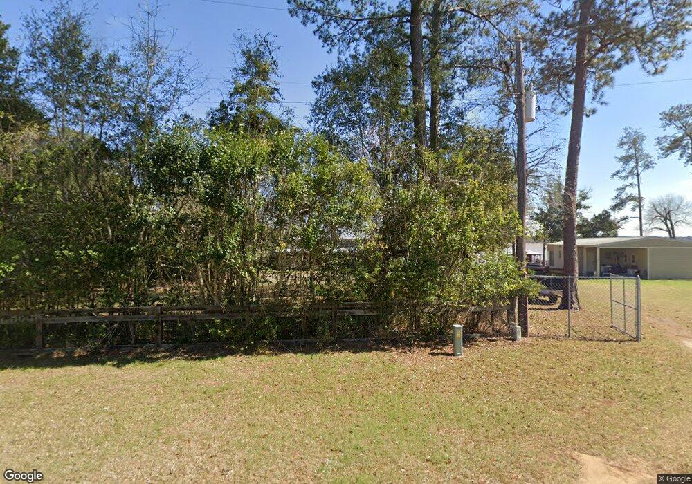
Estimated Value: $433,000 - $483,000
3
Beds
3
Baths
2,293
Sq Ft
$200/Sq Ft
Est. Value
About This Home
This home is located at 805B Flintside Dr, Cobb, GA 31735 and is currently estimated at $458,000, approximately $199 per square foot. 805B Flintside Dr is a home located in Sumter County with nearby schools including Sumter County Primary School, Sumter County Elementary School, and Sumter County Middle School.
Ownership History
Date
Name
Owned For
Owner Type
Purchase Details
Closed on
Apr 17, 2014
Sold by
Sb T
Bought by
Mimbs Michael Keith and Mimbs Elizabeth Lee
Current Estimated Value
Home Financials for this Owner
Home Financials are based on the most recent Mortgage that was taken out on this home.
Original Mortgage
$134,239
Interest Rate
4.37%
Mortgage Type
New Conventional
Purchase Details
Closed on
Oct 17, 1997
Sold by
P Chambliss R and P P
Bought by
Forehand W F
Purchase Details
Closed on
Aug 1, 1968
Bought by
P Chambliss R and P P
Create a Home Valuation Report for This Property
The Home Valuation Report is an in-depth analysis detailing your home's value as well as a comparison with similar homes in the area
Home Values in the Area
Average Home Value in this Area
Purchase History
| Date | Buyer | Sale Price | Title Company |
|---|---|---|---|
| Mimbs Michael Keith | $165,000 | -- | |
| Forehand W F | $110,000 | -- | |
| P Chambliss R | -- | -- |
Source: Public Records
Mortgage History
| Date | Status | Borrower | Loan Amount |
|---|---|---|---|
| Closed | Mimbs Michael Keith | $134,239 |
Source: Public Records
Tax History Compared to Growth
Tax History
| Year | Tax Paid | Tax Assessment Tax Assessment Total Assessment is a certain percentage of the fair market value that is determined by local assessors to be the total taxable value of land and additions on the property. | Land | Improvement |
|---|---|---|---|---|
| 2024 | $3,020 | $81,880 | $58,400 | $23,480 |
| 2023 | $2,939 | $81,880 | $58,400 | $23,480 |
| 2022 | $2,939 | $81,880 | $58,400 | $23,480 |
| 2021 | $2,945 | $81,880 | $58,400 | $23,480 |
| 2020 | $3,032 | $81,880 | $58,400 | $23,480 |
| 2019 | $2,965 | $81,880 | $58,400 | $23,480 |
| 2018 | $3,363 | $94,520 | $58,400 | $36,120 |
| 2017 | $2,975 | $94,520 | $58,400 | $36,120 |
| 2016 | $3,365 | $94,520 | $58,400 | $36,120 |
Source: Public Records
Map
Nearby Homes
- 0 Lot #3 & Part Lot#4 Unit 59461
- 687 Flintside Dr
- 631 Flintside Dr
- 984 Scenic Route
- 141 Landing Rd
- 153 Landing Rd
- 850 Scenic Route
- 475 N Cedar Creek Rd
- 228 Cedar Point Cir
- Lot 3,4 Scenic Route
- Lot 1, 2 Scenic Route
- 580 Scenic Route
- 115 Ellis Ct
- 314 S Cedar Creek Rd
- 418 Flintside Dr
- 600 Scenic Route
- 251 N Cedar Creek Rd
- 375 Flintside Dr
- 103 Cedar Slough Ct
- 119 Wolfs Thick Rd
- 807 Flintside Dr
- 805A Flintside Dr
- 815 Flintside Dr
- 803 Flintside Dr
- 800 Flintside Dr
- 801 Flintside Dr
- 817 Flintside Dr
- 117 First St
- Lot 193 Southern Shores
- 795 Flintside Dr
- 816 Flintside Dr
- 116 1st St
- 101 2nd St
- 113 1st St
- 789 Flintside Dr
- 789 Flintside Dr
- 822 Flintside Dr
- 788 Flintside Dr
- 827 Flintside Dr
- 110 2nd St
