806 Chestatee Point Dawsonville, GA 30534
Dawson County NeighborhoodEstimated Value: $910,543 - $1,143,000
4
Beds
4
Baths
4,348
Sq Ft
$236/Sq Ft
Est. Value
About This Home
This home is located at 806 Chestatee Point, Dawsonville, GA 30534 and is currently estimated at $1,027,636, approximately $236 per square foot. 806 Chestatee Point is a home located in Dawson County with nearby schools including Kilough Elementary School, Dawson County Middle School, and Dawson County Junior High School.
Ownership History
Date
Name
Owned For
Owner Type
Purchase Details
Closed on
May 14, 1993
Sold by
Jo Ann
Bought by
Newell Kenneth R
Current Estimated Value
Purchase Details
Closed on
Mar 24, 1993
Sold by
Shepherd Mike and Shepherd Deni
Bought by
Newell Kenneth R
Purchase Details
Closed on
Apr 5, 1988
Sold by
Vincent Denyse
Bought by
Shepherd Mike and Shepherd Deni
Purchase Details
Closed on
Feb 11, 1983
Bought by
Vincent Denyse
Create a Home Valuation Report for This Property
The Home Valuation Report is an in-depth analysis detailing your home's value as well as a comparison with similar homes in the area
Home Values in the Area
Average Home Value in this Area
Purchase History
| Date | Buyer | Sale Price | Title Company |
|---|---|---|---|
| Newell Kenneth R | -- | -- | |
| Newell Kenneth R | $132,500 | -- | |
| Shepherd Mike | $130,000 | -- | |
| Vincent Denyse | $65,000 | -- |
Source: Public Records
Tax History Compared to Growth
Tax History
| Year | Tax Paid | Tax Assessment Tax Assessment Total Assessment is a certain percentage of the fair market value that is determined by local assessors to be the total taxable value of land and additions on the property. | Land | Improvement |
|---|---|---|---|---|
| 2024 | $1,169 | $293,000 | $79,440 | $213,560 |
| 2023 | $1,169 | $354,960 | $131,080 | $223,880 |
| 2022 | $3,575 | $247,080 | $78,640 | $168,440 |
| 2021 | $2,816 | $204,680 | $65,520 | $139,160 |
| 2020 | $2,829 | $200,240 | $65,520 | $134,720 |
| 2019 | $2,885 | $200,880 | $65,520 | $135,360 |
| 2018 | $2,895 | $200,880 | $65,520 | $135,360 |
| 2017 | $2,714 | $193,343 | $60,000 | $133,343 |
| 2016 | $2,404 | $180,376 | $52,500 | $127,876 |
| 2015 | $1,618 | $146,711 | $52,500 | $94,211 |
| 2014 | $1,422 | $138,166 | $52,500 | $85,666 |
| 2013 | -- | $114,792 | $42,000 | $72,792 |
Source: Public Records
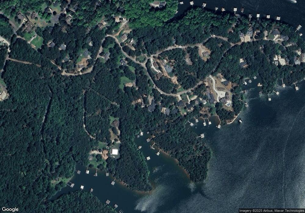
Map
Nearby Homes
- 537 Chestatee View Dr
- 289 Chestatee View Dr
- 6011 Tradewinds Cove
- 6008 Tradewinds Cove
- 6462 Waterscape Ridge
- 6113 Deepwater Cove
- 6342 Chesla Dr
- 6453 Waterscape Ridge
- 6324 Chesla Dr
- 6187 Grants Ford Dr
- 6314 Point Twenty Two
- 6157 Grant Ford Rd
- 80 Eastview Dr
- 94 Dawson Dr
- 44 Eastview Dr
- 1056 Overlook Dr
- 6039 Bluewater Blvd
- 6317 Falcon Ln
- 826 Chestatee Point
- 776 Chestatee Point
- 834 Chestatee Point
- 852 Chestatee Point
- 868 Chestatee Point
- 740 Chestatee Point
- 876 Chestatee Point
- 240 Chestatee Point Trail
- 0 N Chestatee Point Unit 10106045
- 0 N Chestatee Point Unit 7137413
- 0 N Chestatee Point Unit LOT 2 9013684
- 0 N Chestatee Point Unit 8309765
- 0 N Chestatee Point Unit 7189507
- 0 N Chestatee Point Unit 7523456
- 886 Chestatee Point
- 32 N Chestatee Point
- 724 Chestatee Point
- 898 Chestatee Point
- 98 N Chestatee Point
- 45 N Chestatee Point