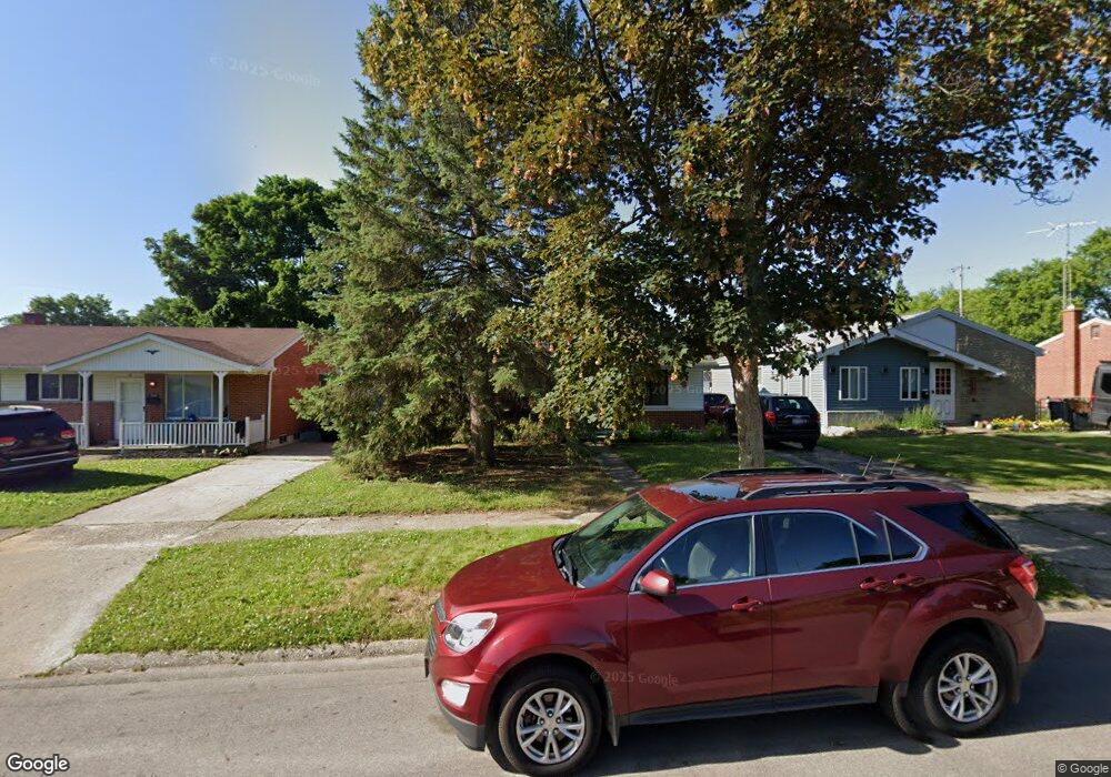
806 Lochhead Ave Flint, MI 48507
Circle Drive NeighborhoodEstimated Value: $86,000 - $99,000
3
Beds
2
Baths
1,008
Sq Ft
$92/Sq Ft
Est. Value
About This Home
This home is located at 806 Lochhead Ave, Flint, MI 48507 and is currently estimated at $92,976, approximately $92 per square foot. 806 Lochhead Ave is a home located in Genesee County with nearby schools including Freeman Elementary School, Flint Southwestern Classical Academy, and International Academy of Flint (K-12).
Ownership History
Date
Name
Owned For
Owner Type
Purchase Details
Closed on
Aug 19, 2004
Sold by
Bemman James R and Bemman Ya Juan
Bought by
Vanderklok Nathaniel J and Vanderklok Jessica R
Current Estimated Value
Purchase Details
Closed on
Mar 7, 2002
Sold by
Bemman James R
Bought by
Bemman James R and Bemman Ya Juan
Home Financials for this Owner
Home Financials are based on the most recent Mortgage that was taken out on this home.
Original Mortgage
$55,000
Interest Rate
7.11%
Create a Home Valuation Report for This Property
The Home Valuation Report is an in-depth analysis detailing your home's value as well as a comparison with similar homes in the area
Home Values in the Area
Average Home Value in this Area
Purchase History
| Date | Buyer | Sale Price | Title Company |
|---|---|---|---|
| Vanderklok Nathaniel J | $83,500 | First American Title | |
| Bemman James R | -- | Guaranty Title Company |
Source: Public Records
Mortgage History
| Date | Status | Borrower | Loan Amount |
|---|---|---|---|
| Previous Owner | Bemman James R | $55,000 |
Source: Public Records
Tax History
| Year | Tax Paid | Tax Assessment Tax Assessment Total Assessment is a certain percentage of the fair market value that is determined by local assessors to be the total taxable value of land and additions on the property. | Land | Improvement |
|---|---|---|---|---|
| 2025 | $900 | $42,000 | $0 | $0 |
| 2024 | $818 | $36,800 | $0 | $0 |
| 2023 | $805 | $30,900 | $0 | $0 |
| 2022 | $0 | $23,600 | $0 | $0 |
| 2021 | $835 | $22,400 | $0 | $0 |
| 2020 | $756 | $21,900 | $0 | $0 |
| 2019 | $739 | $13,400 | $0 | $0 |
| 2018 | $732 | $11,100 | $0 | $0 |
| 2017 | $712 | $0 | $0 | $0 |
| 2016 | $708 | $0 | $0 | $0 |
| 2015 | -- | $0 | $0 | $0 |
| 2014 | -- | $0 | $0 | $0 |
| 2012 | -- | $17,400 | $0 | $0 |
Source: Public Records
Map
Nearby Homes
- 818 Dell Ave
- 802 McKeighan Ave
- 621 Lochhead Ave
- 4424 Cheyenne Ave
- 617 McKeighan Ave
- 530 McKeighan Ave
- 621 Burroughs Ave
- 630 Buckingham Ave
- 4127 Custer Ave
- 3056 Shaw St
- 3128 Ludwig St
- 416 Burroughs Ave
- 4205 Red Arrow Rd
- 3505 Comanche Ave
- 338 Browning Ave
- 326 Burroughs Ave
- 361 Buckingham Ave
- 352 Buckingham Ave
- 3209 Shawnee Ave
- 3115 Circle Dr
Your Personal Tour Guide
Ask me questions while you tour the home.