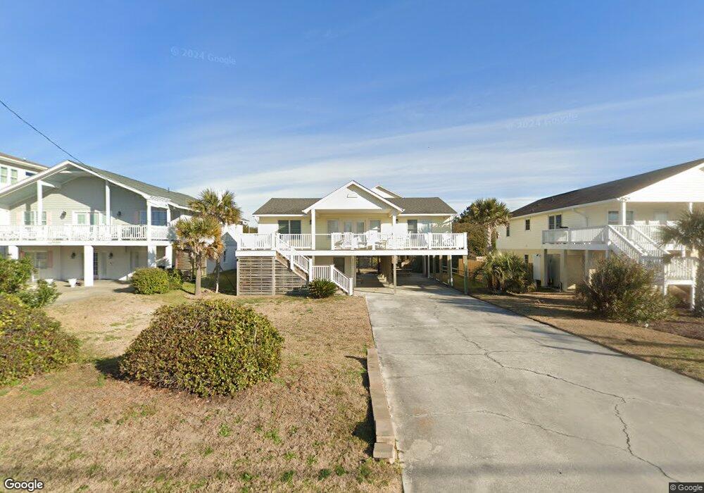
806 Ocean Ridge Dr Atlantic Beach, NC 28512
Estimated Value: $905,790 - $1,532,000
3
Beds
2
Baths
1,440
Sq Ft
$787/Sq Ft
Est. Value
About This Home
This home is located at 806 Ocean Ridge Dr, Atlantic Beach, NC 28512 and is currently estimated at $1,133,698, approximately $787 per square foot. 806 Ocean Ridge Dr is a home with nearby schools including Morehead City Primary School, Morehead Elementary School at Camp Glenn, and Morehead City Middle School.
Ownership History
Date
Name
Owned For
Owner Type
Purchase Details
Closed on
Feb 15, 2019
Sold by
Barnes Mayo Melissa R and Barnes Mayo Melissa
Bought by
Mayo William and Mayo Melissa R
Current Estimated Value
Home Financials for this Owner
Home Financials are based on the most recent Mortgage that was taken out on this home.
Original Mortgage
$207,000
Interest Rate
4.5%
Mortgage Type
New Conventional
Create a Home Valuation Report for This Property
The Home Valuation Report is an in-depth analysis detailing your home's value as well as a comparison with similar homes in the area
Home Values in the Area
Average Home Value in this Area
Purchase History
| Date | Buyer | Sale Price | Title Company |
|---|---|---|---|
| Mayo William | -- | None Available |
Source: Public Records
Mortgage History
| Date | Status | Borrower | Loan Amount |
|---|---|---|---|
| Closed | Mayo William | $207,000 |
Source: Public Records
Tax History Compared to Growth
Tax History
| Year | Tax Paid | Tax Assessment Tax Assessment Total Assessment is a certain percentage of the fair market value that is determined by local assessors to be the total taxable value of land and additions on the property. | Land | Improvement |
|---|---|---|---|---|
| 2025 | $2,391 | $1,507,994 | $666,804 | $841,190 |
| 2024 | $1,921 | $536,102 | $407,160 | $128,942 |
| 2023 | $1,838 | $536,102 | $407,160 | $128,942 |
| 2022 | $1,784 | $536,102 | $407,160 | $128,942 |
| 2021 | $1,784 | $536,102 | $407,160 | $128,942 |
| 2020 | $1,784 | $536,102 | $407,160 | $128,942 |
| 2019 | $1,641 | $524,437 | $381,600 | $142,837 |
| 2017 | $1,641 | $524,437 | $381,600 | $142,837 |
| 2016 | $1,641 | $524,437 | $381,600 | $142,837 |
| 2015 | $1,588 | $524,437 | $381,600 | $142,837 |
| 2014 | $1,926 | $637,137 | $478,800 | $158,337 |
Source: Public Records
Map
Nearby Homes
- 221 Sound Side Dr
- 101 Bay Ridge Dr
- 413 W Fort MacOn Rd
- 123 & 125 Coral Bay Ct
- 2111 W Ft MacOn Rd Unit 251
- 2111 W Fort MacOn Rd Unit 336 Dunescape
- 602 Ft MacOn Rd W Unit 117
- 602 Ft MacOn Rd Unit 132
- 602 Ft MacOn Rd W Unit 231
- 602 W Fort MacOn Rd Unit 118
- 602 W Fort MacOn Rd Unit 242
- 602 W Fort MacOn Rd Unit 135
- 602 W Fort MacOn Rd Unit 204/139
- 602 W Fort MacOn Rd Unit 109
- 602 W Fort MacOn Rd Unit 139
- 602 Fort MacOn Rd
- 602 W Fort MacOn Rd Unit 231
- 113 Hoop Pole Creek Dr
- 503 W Bogue Blvd
- 415 W Boardwalk Blvd
- 808 Ocean Ridge Dr
- 802 Ocean Ridge Dr
- 810 Ocean Ridge Dr
- 800 Ocean Ridge Dr
- 104 Oak Forest Ln
- 103 Sandridge Dr
- 812 Ocean Ridge Dr
- 805 Ocean Ridge Dr
- 714 Ocean Ridge Dr
- 807 Ocean Ridge Dr
- 100 Oak Forest Ln
- 809 Ocean Ridge Dr
- 801 Ocean Ridge Dr
- 101 Sandridge Dr
- 811 Ocean Ridge Dr
- 712 Ocean Ridge Dr
- 816 Ocean Ridge Dr
- 715 Ocean Ridge Dr
- 815 Ocean Ridge Dr
- 710 Ocean Ridge Dr