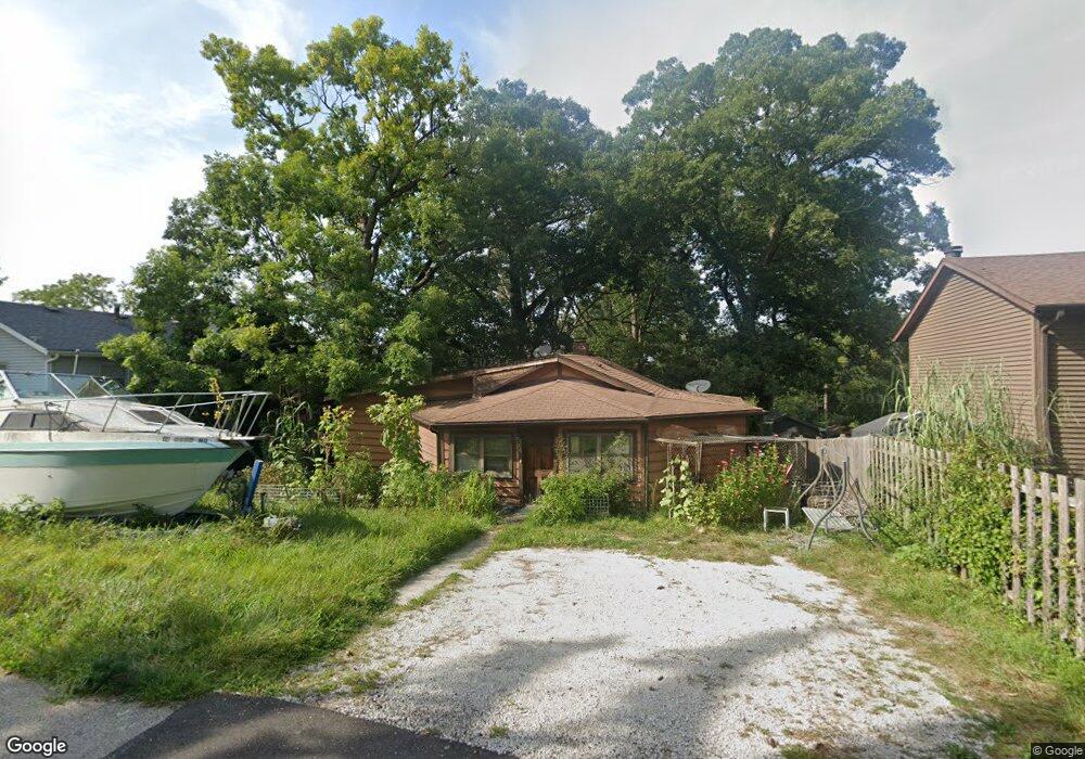
806 Peter St McHenry, IL 60051
West Island Lake NeighborhoodEstimated Value: $251,000 - $278,000
3
Beds
2
Baths
990
Sq Ft
$271/Sq Ft
Est. Value
About This Home
This home is located at 806 Peter St, McHenry, IL 60051 and is currently estimated at $268,343, approximately $271 per square foot. 806 Peter St is a home located in McHenry County with nearby schools including Cotton Creek School, Matthews Middle School, and Wauconda High School.
Ownership History
Date
Name
Owned For
Owner Type
Purchase Details
Closed on
Oct 1, 2024
Sold by
Michele Teel Living Trust and Teel Michele
Bought by
Ranger Inc
Current Estimated Value
Home Financials for this Owner
Home Financials are based on the most recent Mortgage that was taken out on this home.
Original Mortgage
$130,500
Outstanding Balance
$128,690
Interest Rate
6.2%
Mortgage Type
Construction
Estimated Equity
$139,653
Purchase Details
Closed on
Oct 14, 2006
Sold by
Teel Michele
Bought by
Teel Michele
Purchase Details
Closed on
Dec 30, 1999
Sold by
Matouski Michele
Bought by
Teela Michele
Home Financials for this Owner
Home Financials are based on the most recent Mortgage that was taken out on this home.
Original Mortgage
$29,317
Interest Rate
7.81%
Mortgage Type
Balloon
Create a Home Valuation Report for This Property
The Home Valuation Report is an in-depth analysis detailing your home's value as well as a comparison with similar homes in the area
Home Values in the Area
Average Home Value in this Area
Purchase History
| Date | Buyer | Sale Price | Title Company |
|---|---|---|---|
| Ranger Inc | $50,000 | Carrington Title Partners | |
| Teel Michele | -- | None Available | |
| Teela Michele | -- | Ticor Title Insurance Compan |
Source: Public Records
Mortgage History
| Date | Status | Borrower | Loan Amount |
|---|---|---|---|
| Open | Ranger Inc | $130,500 | |
| Previous Owner | Teela Michele | $29,317 |
Source: Public Records
Tax History
| Year | Tax Paid | Tax Assessment Tax Assessment Total Assessment is a certain percentage of the fair market value that is determined by local assessors to be the total taxable value of land and additions on the property. | Land | Improvement |
|---|---|---|---|---|
| 2024 | $3,465 | $47,696 | $15,782 | $31,914 |
| 2023 | $3,356 | $42,773 | $14,153 | $28,620 |
| 2022 | $3,622 | $39,116 | $12,943 | $26,173 |
| 2021 | $3,526 | $36,674 | $12,135 | $24,539 |
| 2020 | $3,347 | $35,574 | $11,771 | $23,803 |
| 2019 | $3,316 | $33,822 | $11,191 | $22,631 |
| 2018 | $3,137 | $31,770 | $10,512 | $21,258 |
| 2017 | $3,061 | $30,437 | $10,071 | $20,366 |
| 2016 | $2,988 | $29,040 | $9,609 | $19,431 |
| 2013 | -- | $32,257 | $9,145 | $23,112 |
Source: Public Records
Map
Nearby Homes
- 4917 Wayside Dr
- 6 Lots Porten Rd
- 4505 Giant Oak Dr
- 4213 Hale Ln Unit 11
- 4120 Newport Dr
- 1302 Autumn Ridge Ct
- Lot 0 S Pine St
- 4400 Riverside Dr
- 29652 W Roberts Rd
- 4433 Wildwood Dr
- 742 Dartmouth Dr
- 4126 Wildwood Dr
- 3727 Hale Ln Unit 9
- 120 W State Rd
- Lot 9 -10 Louise St
- 1102 Noble Pkwy
- NEC Route 176 & Westridge Dr
- 104 Channel Dr
- 216 S Shore Dr Unit S
- 28965 W Roberts Rd
Your Personal Tour Guide
Ask me questions while you tour the home.