806 Pheasant Dr Crown Point, IN 46307
Estimated Value: $240,617 - $291,000
2
Beds
2
Baths
1,240
Sq Ft
$209/Sq Ft
Est. Value
About This Home
This home is located at 806 Pheasant Dr, Crown Point, IN 46307 and is currently estimated at $258,904, approximately $208 per square foot. 806 Pheasant Dr is a home located in Lake County with nearby schools including Timothy Ball Elementary School, Robert Taft Middle School, and Crown Point High School.
Ownership History
Date
Name
Owned For
Owner Type
Purchase Details
Closed on
Jul 19, 2011
Sold by
Garnier Jeffrey J
Bought by
Beck Frank A and Beck Theresa D
Current Estimated Value
Home Financials for this Owner
Home Financials are based on the most recent Mortgage that was taken out on this home.
Original Mortgage
$48,000
Outstanding Balance
$32,679
Interest Rate
4.52%
Mortgage Type
New Conventional
Estimated Equity
$226,225
Purchase Details
Closed on
Apr 9, 2009
Sold by
Garnier Jeanette T
Bought by
Garnier Jeanette T and Jeanette T Garnier Revocable Trust
Create a Home Valuation Report for This Property
The Home Valuation Report is an in-depth analysis detailing your home's value as well as a comparison with similar homes in the area
Home Values in the Area
Average Home Value in this Area
Purchase History
| Date | Buyer | Sale Price | Title Company |
|---|---|---|---|
| Beck Frank A | -- | Fidelity Cp | |
| Garnier Jeanette T | -- | None Available |
Source: Public Records
Mortgage History
| Date | Status | Borrower | Loan Amount |
|---|---|---|---|
| Open | Beck Frank A | $48,000 |
Source: Public Records
Tax History
| Year | Tax Paid | Tax Assessment Tax Assessment Total Assessment is a certain percentage of the fair market value that is determined by local assessors to be the total taxable value of land and additions on the property. | Land | Improvement |
|---|---|---|---|---|
| 2025 | $1,786 | $218,700 | $24,900 | $193,800 |
| 2024 | $5,390 | $209,000 | $24,900 | $184,100 |
| 2023 | $1,731 | $196,100 | $24,900 | $171,200 |
| 2022 | $1,731 | $182,600 | $24,900 | $157,700 |
| 2021 | $1,325 | $159,600 | $12,500 | $147,100 |
| 2020 | $1,298 | $154,400 | $12,500 | $141,900 |
| 2019 | $1,291 | $148,000 | $12,500 | $135,500 |
| 2018 | $1,252 | $141,700 | $12,500 | $129,200 |
| 2017 | $1,071 | $130,000 | $12,500 | $117,500 |
| 2016 | $1,033 | $126,700 | $12,500 | $114,200 |
| 2014 | $882 | $123,400 | $12,500 | $110,900 |
| 2013 | $845 | $120,500 | $12,500 | $108,000 |
Source: Public Records
Map
Nearby Homes
- 771 Kenmare Pkwy
- 767 Kenmare Pkwy
- 772 Kenmare Pkwy
- 900 Easy St
- 7770 W 106th Ln
- 1065 Easy St Unit C
- 619 W North St
- 600 W North St
- 11200 Oak Ridge Ct
- 301 Hoffman St
- 511 N West St
- 324 Maple St
- 306 Holton Ridge
- 332 Maple St
- 10607 Lane St
- 114 S Chase Dr
- 316 Oak Cir
- 10705 Lane St
- 138 S Chase Dr
- 1206 Sycamore St
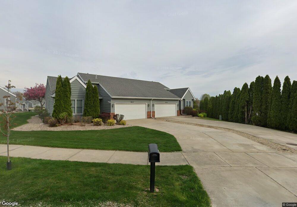
- 810 Pheasant Dr
- 817 Kenmare Terrace
- 820 Pheasant Dr
- 821 Kenmare Terrace
- 763 Kenmare Pkwy
- 761 Kenmare Pkwy
- 765 Kenmare Pkwy
- 769 Kenmare Pkwy
- 824 Pheasant Dr
- 773 Kenmare Pkwy
- 775 Kenmare Pkwy
- 825 Kenmare Terrace
- 750 Clover Ln
- 832 Pheasant Dr
- 751 Clover Ln
- 827 Kenmare Terrace
- 836 Pheasant Dr
- 805 Kenmare Pkwy
- 807 Kenmare Pkwy
- 760 Kenmare Pkwy
Your Personal Tour Guide
Ask me questions while you tour the home.