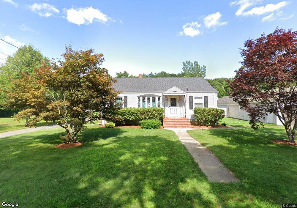
806 Sanford Rd Westport, MA 02790
North Westport NeighborhoodEstimated Value: $538,000 - $693,000
3
Beds
--
Bath
1,390
Sq Ft
$436/Sq Ft
Est. Value
About This Home
This home is located at 806 Sanford Rd, Westport, MA 02790 and is currently estimated at $605,589, approximately $435 per square foot. 806 Sanford Rd is a home located in Bristol County with nearby schools including Alice A. Macomber Primary School, Westport Elementary School, and Westport Middle-High School.
Ownership History
Date
Name
Owned For
Owner Type
Purchase Details
Closed on
Mar 12, 2024
Sold by
Carvalho Richard D and Carvalho Janice R
Bought by
Peixoto Lisa A and Correira Patty S
Current Estimated Value
Purchase Details
Closed on
Jan 24, 1980
Bought by
Carvalho Richard and Carvalho Janice
Create a Home Valuation Report for This Property
The Home Valuation Report is an in-depth analysis detailing your home's value as well as a comparison with similar homes in the area
Home Values in the Area
Average Home Value in this Area
Purchase History
| Date | Buyer | Sale Price | Title Company |
|---|---|---|---|
| Peixoto Lisa A | -- | None Available | |
| Carvalho Richard | $30,000 | -- |
Source: Public Records
Mortgage History
| Date | Status | Borrower | Loan Amount |
|---|---|---|---|
| Previous Owner | Carvalho Richard | $140,000 | |
| Previous Owner | Carvalho Richard | $19,000 | |
| Previous Owner | Carvalho Richard | $50,000 | |
| Previous Owner | Carvalho Richard | $50,000 |
Source: Public Records
Tax History Compared to Growth
Tax History
| Year | Tax Paid | Tax Assessment Tax Assessment Total Assessment is a certain percentage of the fair market value that is determined by local assessors to be the total taxable value of land and additions on the property. | Land | Improvement |
|---|---|---|---|---|
| 2025 | $4,176 | $560,600 | $183,500 | $377,100 |
| 2024 | $3,790 | $490,300 | $162,900 | $327,400 |
| 2023 | $3,634 | $445,400 | $148,400 | $297,000 |
| 2022 | $3,345 | $413,900 | $148,400 | $265,500 |
| 2021 | $5,762 | $388,100 | $122,600 | $265,500 |
| 2020 | $5,749 | $383,200 | $117,700 | $265,500 |
| 2019 | $3,167 | $383,000 | $117,700 | $265,300 |
| 2018 | $4,946 | $361,200 | $116,400 | $244,800 |
| 2017 | $2,823 | $354,200 | $112,700 | $241,500 |
| 2016 | $2,683 | $339,200 | $109,000 | $230,200 |
| 2015 | $2,677 | $337,600 | $111,400 | $226,200 |
Source: Public Records
Map
Nearby Homes