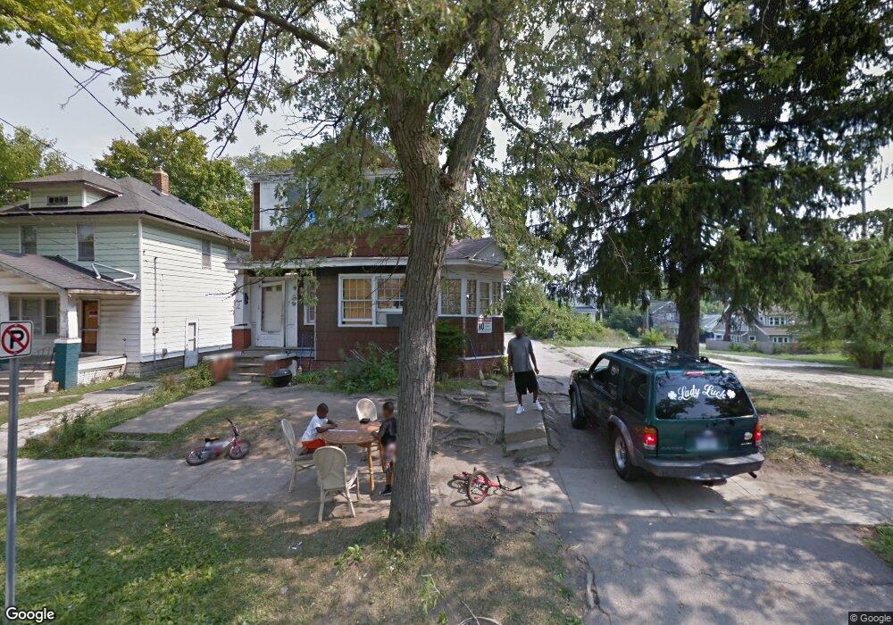
806 Stevenson St Flint, MI 48504
University Avenue Neighborhood NeighborhoodEstimated Value: $63,000
4
Beds
4
Baths
2,602
Sq Ft
$24/Sq Ft
Est. Value
About This Home
This home is located at 806 Stevenson St, Flint, MI 48504 and is currently priced at $63,000, approximately $24 per square foot. 806 Stevenson St is a home located in Genesee County with nearby schools including Durant-Tuuri-Mott Elementary School, WAY Academy of Flint, and St John Vianney Catholic School.
Ownership History
Date
Name
Owned For
Owner Type
Purchase Details
Closed on
Dec 21, 2021
Sold by
Cherry Deborah L
Bought by
Genesee County Land Bank Authority
Current Estimated Value
Purchase Details
Closed on
Jun 23, 2017
Sold by
Amerihomes Mortgage Co Llc
Bought by
El Concept Llc
Purchase Details
Closed on
Jan 6, 2016
Sold by
Ritsen Russell R
Bought by
Amerihome Mortgage Company Llc and Amerihome Mortgage Corporation
Create a Home Valuation Report for This Property
The Home Valuation Report is an in-depth analysis detailing your home's value as well as a comparison with similar homes in the area
Home Values in the Area
Average Home Value in this Area
Purchase History
| Date | Buyer | Sale Price | Title Company |
|---|---|---|---|
| Genesee County Land Bank Authority | -- | None Listed On Document | |
| El Concept Llc | $1,000 | Parks Title Co | |
| Amerihome Mortgage Company Llc | $14,585 | Attorney |
Source: Public Records
Tax History
| Year | Tax Paid | Tax Assessment Tax Assessment Total Assessment is a certain percentage of the fair market value that is determined by local assessors to be the total taxable value of land and additions on the property. | Land | Improvement |
|---|---|---|---|---|
| 2025 | -- | $0 | $0 | $0 |
| 2024 | $72 | $0 | $0 | $0 |
| 2023 | $72 | $0 | $0 | $0 |
| 2022 | $0 | $0 | $0 | $0 |
| 2021 | $289 | $2,600 | $0 | $0 |
| 2020 | $271 | $2,600 | $0 | $0 |
| 2019 | $276 | $2,600 | $0 | $0 |
| 2018 | $518 | $6,400 | $0 | $0 |
| 2017 | $367 | $0 | $0 | $0 |
| 2016 | $1,511 | $0 | $0 | $0 |
| 2015 | -- | $0 | $0 | $0 |
| 2014 | -- | $0 | $0 | $0 |
| 2012 | -- | $21,700 | $0 | $0 |
Source: Public Records
Map
Nearby Homes
- 1025 Frost St
- 1016 Dupont St
- 1409 Prospect St
- 1900 Cadillac St
- 407 W 2nd Ave
- 416 W 2nd Ave Unit 4
- 1717 Wolcott St
- 751 Dupont St
- 913 Perry St
- 2023 Cadillac St
- 2026 Monteith St
- 1016 Garland St
- 2008 University Ave
- 2001 Mackin Rd
- 971 N Chevrolet Ave
- 2410 Sloan St
- 607 Thayer St
- 825 Frank St
- 913 Davis St
- 1645 Seminole St
- 810 Stevenson St
- 816 Stevenson St
- 818 Stevenson St
- 805 Wolcott St
- 801 Wolcott St
- 733 Wolcott St
- 829 Stevenson St
- 829 Stevenson St
- 227 W 5th Ave Unit 3
- 729 Wolcott St
- 823 Stevenson St
- 725 Wolcott St
- 721 Wolcott St
- 726 Stevenson St
- 718 Stevenson St
- 833 Stevenson St
- 736 Wolcott St
- 730 Wolcott St
- 1113 W 5th Ave
- 726 Wolcott St
Your Personal Tour Guide
Ask me questions while you tour the home.