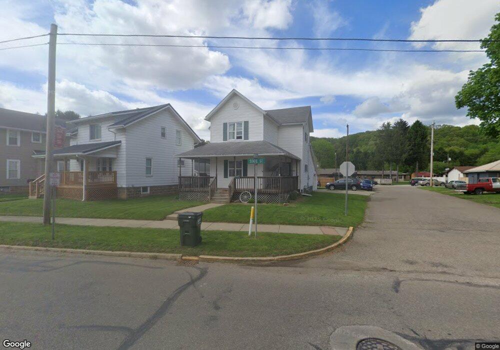
806 W State St Newcomerstown, OH 43832
Estimated Value: $132,801 - $194,000
3
Beds
1
Bath
1,512
Sq Ft
$102/Sq Ft
Est. Value
About This Home
This home is located at 806 W State St, Newcomerstown, OH 43832 and is currently estimated at $153,950, approximately $101 per square foot. 806 W State St is a home located in Tuscarawas County with nearby schools including West Elementary School, East Elementary School, and Newcomerstown Middle School.
Ownership History
Date
Name
Owned For
Owner Type
Purchase Details
Closed on
Dec 26, 2002
Sold by
Miskimen Alford D
Bought by
Arnold Todd D and Arnold Lona R
Current Estimated Value
Purchase Details
Closed on
Oct 28, 1993
Bought by
Arnold Todd D and Arnold Lona R
Purchase Details
Closed on
Aug 19, 1993
Sold by
Phillips Robert A and Phillips Wanda S
Bought by
Bank One Coshocton National As and Arnold Lona R
Purchase Details
Closed on
Oct 24, 1988
Sold by
Ackermann Barry S and Frank Ii H
Bought by
Arnold Todd D and Arnold Lona R
Create a Home Valuation Report for This Property
The Home Valuation Report is an in-depth analysis detailing your home's value as well as a comparison with similar homes in the area
Home Values in the Area
Average Home Value in this Area
Purchase History
| Date | Buyer | Sale Price | Title Company |
|---|---|---|---|
| Arnold Todd D | $13,000 | -- | |
| Arnold Todd D | $5,500 | -- | |
| Bank One Coshocton National As | $4,800 | -- | |
| Arnold Todd D | $12,000 | -- |
Source: Public Records
Tax History Compared to Growth
Tax History
| Year | Tax Paid | Tax Assessment Tax Assessment Total Assessment is a certain percentage of the fair market value that is determined by local assessors to be the total taxable value of land and additions on the property. | Land | Improvement |
|---|---|---|---|---|
| 2024 | $1,301 | $34,460 | $2,700 | $31,760 |
| 2023 | $1,301 | $98,450 | $7,710 | $90,740 |
| 2022 | $1,242 | $34,458 | $2,699 | $31,759 |
| 2021 | $1,217 | $31,147 | $2,237 | $28,910 |
| 2020 | $1,231 | $31,147 | $2,237 | $28,910 |
| 2019 | $1,246 | $31,147 | $2,237 | $28,910 |
| 2018 | $1,090 | $26,290 | $1,890 | $24,400 |
| 2017 | $1,091 | $26,290 | $1,890 | $24,400 |
| 2016 | $1,088 | $26,290 | $1,890 | $24,400 |
| 2014 | $982 | $23,980 | $1,750 | $22,230 |
| 2013 | $990 | $23,980 | $1,750 | $22,230 |
Source: Public Records
Map
Nearby Homes
- 439 Tuscarawas Ave
- 429 Spaulding Ave
- 465 Spaulding Ave
- 435 Oxford Ave
- 460 Barnett Ave
- 60949 County Road 9
- 621 Tuscarawas Ave
- 303 Beaver St
- 598 Martin Luther King Dr
- 465 Martin Luther King Dr
- 540 Mulvane St
- 516 Mulvane St
- 0 Johnson Hill Rd
- 100 Crestview Dr
- 579 Chestnut St
- 241 N College St
- 279 E Canal St
- 21277 County Road 106
- 782 E State St
- 541 E Canal St
- 806 W State St
- 346 Tuscarawas Ave
- 812 W State St
- 816 W State St
- 355 Tuscarawas Ave
- 716 W State St
- 716 W State St
- 822 W State St
- 739 W State St
- 805 W State St
- 704 W State St
- 704 W State St
- 735 W State St
- 811 W State St
- 817 W State St
- 706 Mill Alley Unit C
- 715 W State St
- 825 W State St
- 713 W State St
- 423 Tuscarawas Ave