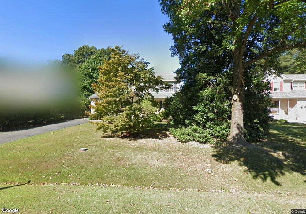
806 Worcester Dr Stevensville, MD 21666
Estimated Value: $584,066 - $680,000
Studio
3
Baths
2,444
Sq Ft
$262/Sq Ft
Est. Value
About This Home
This home is located at 806 Worcester Dr, Stevensville, MD 21666 and is currently estimated at $641,517, approximately $262 per square foot. 806 Worcester Dr is a home located in Queen Anne's County with nearby schools including Matapeake Elementary School, Matapeake Middle School, and Kent Island High School.
Ownership History
Date
Name
Owned For
Owner Type
Purchase Details
Closed on
Sep 5, 2024
Sold by
Baker Stanley Albee and Baker Maryann S
Bought by
Lee And Maryann Baker Living Trust and Baker
Current Estimated Value
Purchase Details
Closed on
Jan 30, 1996
Sold by
Harner Thomas J
Bought by
Baker Stanley A and Baker Maryann S
Purchase Details
Closed on
Mar 30, 1993
Sold by
Brown Sophie E and Brown Richard
Bought by
Ralph Robert and Ralph Alice
Create a Home Valuation Report for This Property
The Home Valuation Report is an in-depth analysis detailing your home's value as well as a comparison with similar homes in the area
Home Values in the Area
Average Home Value in this Area
Purchase History
| Date | Buyer | Sale Price | Title Company |
|---|---|---|---|
| Lee And Maryann Baker Living Trust | -- | None Listed On Document | |
| Lee And Maryann Baker Living Trust | -- | None Listed On Document | |
| Baker Stanley A | $32,000 | -- | |
| Ralph Robert | $15,000 | -- |
Source: Public Records
Tax History
| Year | Tax Paid | Tax Assessment Tax Assessment Total Assessment is a certain percentage of the fair market value that is determined by local assessors to be the total taxable value of land and additions on the property. | Land | Improvement |
|---|---|---|---|---|
| 2025 | $4,262 | $491,767 | $0 | $0 |
| 2024 | $4,035 | $448,733 | $0 | $0 |
| 2023 | $3,822 | $405,700 | $161,000 | $244,700 |
| 2022 | $3,777 | $400,967 | $0 | $0 |
| 2021 | $3,755 | $396,233 | $0 | $0 |
| 2020 | $3,755 | $391,500 | $161,000 | $230,500 |
| 2019 | $3,618 | $377,233 | $0 | $0 |
| 2018 | $3,481 | $362,967 | $0 | $0 |
| 2017 | $3,344 | $348,700 | $0 | $0 |
| 2016 | -- | $338,700 | $0 | $0 |
| 2015 | $1,525 | $328,700 | $0 | $0 |
| 2014 | $1,525 | $318,700 | $0 | $0 |
Source: Public Records
Map
Nearby Homes
- 410 Stafford Rd
- 415 Bay City Rd
- 1000 Chesapeake Dr
- 802 Broadcreek Dr
- 526 Victoria Dr
- 103 Irene Way
- 306 Irene Way
- 440 Moorings Cir
- 614 Moorings Cir
- 222 Topside Dr
- 312 Topside Dr Unit 223
- 644 Moorings Cir
- 0 Sunset Wharf Lot D-3 Unit MDQA2010280
- 222 Moorings Cir Unit 126
- 784 Moorings Cir
- 822 Moorings Cir Unit 17
- 0 Sunset Wharf Lot D-1 Unit MDQA2010276
- 108 John Patrick Dr
- 128 John Patrick Dr
- 119 Keenan Way
- 804 Worcester Dr
- 808 Worcester Dr
- 810 Worcester Dr
- 802 Worcester Dr
- 807 Bayside Dr
- 809 Bayside Dr
- 805 Bayside Dr
- 812 Worcester Dr
- 501 Stafford Rd
- 811 Bayside Dr
- 807 Worcester Dr
- 803 Bayside Dr
- 809 Worcester Dr
- 805 Worcester Dr
- 811 Worcester Dr
- 803 Worcester Dr
- 813 Bayside Dr
- 814 Worcester Dr
- 801 Bayside Dr
- 813 Worcester Dr
Your Personal Tour Guide
Ask me questions while you tour the home.