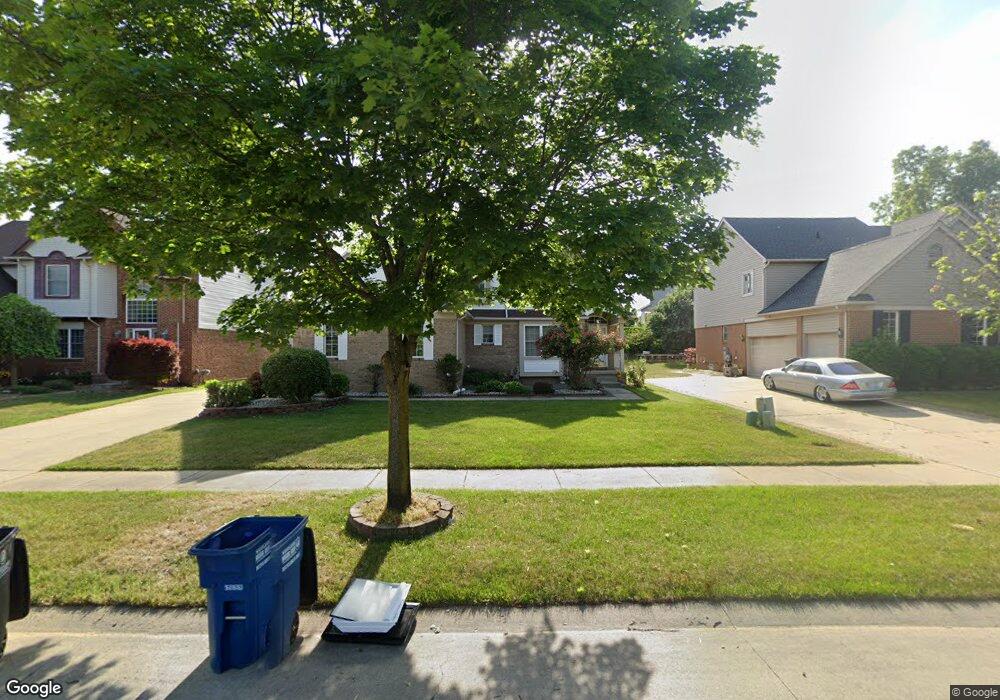
8061 Tom Brown Dr Westland, MI 48185
Estimated Value: $424,000 - $465,000
4
Beds
4
Baths
2,292
Sq Ft
$193/Sq Ft
Est. Value
About This Home
This home is located at 8061 Tom Brown Dr, Westland, MI 48185 and is currently estimated at $441,582, approximately $192 per square foot. 8061 Tom Brown Dr is a home located in Wayne County with nearby schools including Johnson Upper Elementary School, Garfield Elementary School, and Frost Middle School.
Ownership History
Date
Name
Owned For
Owner Type
Purchase Details
Closed on
May 1, 2023
Sold by
Dang Henry Dung
Bought by
Le Due M and Le Nhat V
Current Estimated Value
Home Financials for this Owner
Home Financials are based on the most recent Mortgage that was taken out on this home.
Original Mortgage
$320,000
Outstanding Balance
$311,151
Interest Rate
6.42%
Mortgage Type
New Conventional
Estimated Equity
$130,431
Purchase Details
Closed on
Oct 10, 2008
Sold by
Dang Henry Dung and Doung Hue
Bought by
Dang Henry Dung
Purchase Details
Closed on
Jul 7, 2000
Sold by
Andover Lakes Inc
Bought by
Dang Henry D
Create a Home Valuation Report for This Property
The Home Valuation Report is an in-depth analysis detailing your home's value as well as a comparison with similar homes in the area
Home Values in the Area
Average Home Value in this Area
Purchase History
| Date | Buyer | Sale Price | Title Company |
|---|---|---|---|
| Le Due M | $400,000 | Reputation First Title | |
| Dang Henry Dung | -- | None Available | |
| Dang Henry D | $240,000 | -- |
Source: Public Records
Mortgage History
| Date | Status | Borrower | Loan Amount |
|---|---|---|---|
| Open | Le Due M | $320,000 |
Source: Public Records
Tax History Compared to Growth
Tax History
| Year | Tax Paid | Tax Assessment Tax Assessment Total Assessment is a certain percentage of the fair market value that is determined by local assessors to be the total taxable value of land and additions on the property. | Land | Improvement |
|---|---|---|---|---|
| 2025 | $8,031 | $198,000 | $0 | $0 |
| 2024 | $8,031 | $196,200 | $0 | $0 |
| 2023 | $4,673 | $176,600 | $0 | $0 |
| 2022 | $5,381 | $149,600 | $0 | $0 |
| 2021 | $5,245 | $143,700 | $0 | $0 |
| 2020 | $5,190 | $141,200 | $0 | $0 |
| 2019 | $4,946 | $139,700 | $0 | $0 |
| 2018 | $3,945 | $138,000 | $0 | $0 |
| 2017 | $1,699 | $134,000 | $0 | $0 |
| 2016 | $4,698 | $118,800 | $0 | $0 |
| 2015 | $9,602 | $116,570 | $0 | $0 |
| 2013 | $9,302 | $112,500 | $0 | $0 |
| 2012 | $3,494 | $97,720 | $0 | $0 |
Source: Public Records
Map
Nearby Homes
- 7970 Russell Dr
- 7908 Everett Dr
- Lot 35 Ravine Dr
- 8228 Quincy Dr
- 37674 Colonial Dr S
- 7630 Woodview St Unit 2
- 7370 Woodview St Unit 3
- 7860 Rivergate Dr Unit 25
- 37739 Northfield Ave
- 35912 Ann Arbor Trail
- 35619 Dover St
- 38489 Sycamore Ct Unit 89
- 35588 Dover St
- 36356 Ann Arbor Trail
- 38508 Alma Ln
- 8740 Oakridge Trail
- 38671 Belliveau St
- 8894 Knolson Ave
- 35622 Minton St
- 6541 Pembrook Dr
- 8049 Tom Brown Dr
- 8073 Tom Brown Dr
- 8066 Russell Dr
- 8037 Tom Brown Dr
- 8090 Russell Dr
- 8063 Pickering Place
- 8050 Pickering Place
- 8042 Russell Dr
- 8025 Tom Brown Dr
- 36920 Russell Dr Unit Bldg-Unit
- 36920 Russell Dr
- 8062 Pickering Place
- 8075 Pickering Place
- 8013 Tom Brown Dr
- 8100 Tom Brown Dr
- 36532 Tom Brown Ct
- 8074 Pickering Place
- 8112 Tom Brown Dr
- 8087 Pickering Place
- 8001 Tom Brown Dr