8064 Kenstone Ct Atlanta, GA 30350
Dunwoody Panhandle NeighborhoodEstimated Value: $731,000 - $1,229,000
4
Beds
7
Baths
4,351
Sq Ft
$243/Sq Ft
Est. Value
About This Home
This home is located at 8064 Kenstone Ct, Atlanta, GA 30350 and is currently estimated at $1,055,527, approximately $242 per square foot. 8064 Kenstone Ct is a home located in Fulton County with nearby schools including Dunwoody Springs Elementary School, Sandy Springs Middle School, and North Springs High School.
Ownership History
Date
Name
Owned For
Owner Type
Purchase Details
Closed on
May 21, 2004
Sold by
Whitecap Corp
Bought by
Schaffer Kevin L and Schaffer Barbara
Current Estimated Value
Home Financials for this Owner
Home Financials are based on the most recent Mortgage that was taken out on this home.
Original Mortgage
$600,000
Outstanding Balance
$286,254
Interest Rate
5.75%
Mortgage Type
New Conventional
Estimated Equity
$769,273
Create a Home Valuation Report for This Property
The Home Valuation Report is an in-depth analysis detailing your home's value as well as a comparison with similar homes in the area
Home Values in the Area
Average Home Value in this Area
Purchase History
| Date | Buyer | Sale Price | Title Company |
|---|---|---|---|
| Schaffer Kevin L | $300,000 | -- |
Source: Public Records
Mortgage History
| Date | Status | Borrower | Loan Amount |
|---|---|---|---|
| Open | Schaffer Kevin L | $600,000 |
Source: Public Records
Tax History Compared to Growth
Tax History
| Year | Tax Paid | Tax Assessment Tax Assessment Total Assessment is a certain percentage of the fair market value that is determined by local assessors to be the total taxable value of land and additions on the property. | Land | Improvement |
|---|---|---|---|---|
| 2025 | $9,016 | $337,960 | $74,200 | $263,760 |
| 2023 | $9,539 | $337,960 | $74,200 | $263,760 |
| 2022 | $8,026 | $282,160 | $62,760 | $219,400 |
| 2021 | $8,641 | $320,000 | $83,440 | $236,560 |
| 2020 | $9,094 | $320,000 | $83,440 | $236,560 |
| 2019 | $8,217 | $335,880 | $85,440 | $250,440 |
| 2018 | $10,397 | $328,000 | $83,440 | $244,560 |
| 2017 | $10,275 | $315,400 | $80,240 | $235,160 |
| 2016 | $10,275 | $315,400 | $80,240 | $235,160 |
| 2015 | $10,311 | $315,400 | $80,240 | $235,160 |
| 2014 | $10,699 | $315,400 | $80,240 | $235,160 |
Source: Public Records
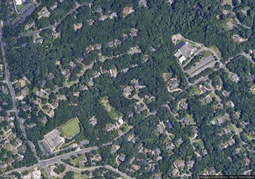
Map
Nearby Homes
- 1495 Spalding Dr
- 8205 Innsbruck Dr
- 980 Fenimore Cir
- 5697 Whitehall Walk
- 1120 Whitehall Pointe
- 1605 Saint Tropez Way
- 5625 Roberts Dr
- 5717 Braddock Ct
- 5662 Queensborough Dr
- 8265 Berkley Ridge
- 812 Stratford Ct
- 7967 Magnolia Square
- 1620 Saddle Ridge Way
- 1293 Witham Dr
- 1665 Chevron Way
- 0 Northridge Crossing Dr Unit 7612550
- 0 Northridge Crossing Dr Unit 10561670
- 524 Northridge Crossing Dr
- 500 Calaveras Dr
- 1655 Misty Oaks Dr
- 8069 Kenstone Ct
- 8054 Kenstone Ct
- 1615 Bakers Glen Dr
- 1500 Spalding Dr
- 8059 Kenstone Ct
- 1605 Bakers Glen Dr
- 1550 Spalding Dr
- 1625 Bakers Glen Dr
- 1494 Spalding Dr
- 1635 Bakers Glen Dr
- 1585 Bakers Glen Dr
- 1575 Bakers Glen Dr
- 1490 Spalding Dr
- 1565 Bakers Glen Dr
- 1570 Spalding Dr
- 1531 Spalding Dr
- 1480 Spalding Dr
- 1610 Bakers Glen Dr
- 1525 Spalding Dr
- 1640 Bakers Glen Dr