8065 Duncan Bridge Rd Cleveland, GA 30528
Estimated Value: $291,652 - $332,000
2
Beds
2
Baths
764
Sq Ft
$402/Sq Ft
Est. Value
About This Home
This home is located at 8065 Duncan Bridge Rd, Cleveland, GA 30528 and is currently estimated at $307,163, approximately $402 per square foot. 8065 Duncan Bridge Rd is a home located in White County with nearby schools including Mount Yonah Elementary School, White County 9th Grade Academy, and White County Middle School.
Ownership History
Date
Name
Owned For
Owner Type
Purchase Details
Closed on
May 20, 2019
Sold by
Hooper Isaac J
Bought by
Emmett Martha
Current Estimated Value
Home Financials for this Owner
Home Financials are based on the most recent Mortgage that was taken out on this home.
Original Mortgage
$137,171
Outstanding Balance
$120,356
Interest Rate
4.1%
Mortgage Type
New Conventional
Estimated Equity
$186,807
Purchase Details
Closed on
Dec 17, 2012
Sold by
Hooper Steve
Bought by
Hooper Isaac J and Mcmonagle Kristen A
Create a Home Valuation Report for This Property
The Home Valuation Report is an in-depth analysis detailing your home's value as well as a comparison with similar homes in the area
Home Values in the Area
Average Home Value in this Area
Purchase History
| Date | Buyer | Sale Price | Title Company |
|---|---|---|---|
| Emmett Martha | $135,800 | -- | |
| Hooper Isaac J | -- | -- |
Source: Public Records
Mortgage History
| Date | Status | Borrower | Loan Amount |
|---|---|---|---|
| Open | Emmett Martha | $137,171 |
Source: Public Records
Tax History Compared to Growth
Tax History
| Year | Tax Paid | Tax Assessment Tax Assessment Total Assessment is a certain percentage of the fair market value that is determined by local assessors to be the total taxable value of land and additions on the property. | Land | Improvement |
|---|---|---|---|---|
| 2025 | $1,331 | $88,132 | $36,256 | $51,876 |
| 2024 | $1,331 | $86,540 | $36,256 | $50,284 |
| 2023 | $975 | $80,676 | $36,256 | $44,420 |
| 2022 | $1,074 | $53,148 | $14,652 | $38,496 |
| 2021 | $1,037 | $42,108 | $11,768 | $30,340 |
| 2020 | $1,030 | $38,584 | $10,928 | $27,656 |
| 2019 | $1,059 | $37,508 | $10,928 | $26,580 |
| 2018 | $469 | $16,604 | $10,928 | $5,676 |
| 2017 | $448 | $16,024 | $10,928 | $5,096 |
| 2016 | $448 | $16,024 | $10,928 | $5,096 |
| 2015 | $428 | $40,060 | $10,928 | $5,096 |
| 2014 | $415 | $38,790 | $0 | $0 |
Source: Public Records
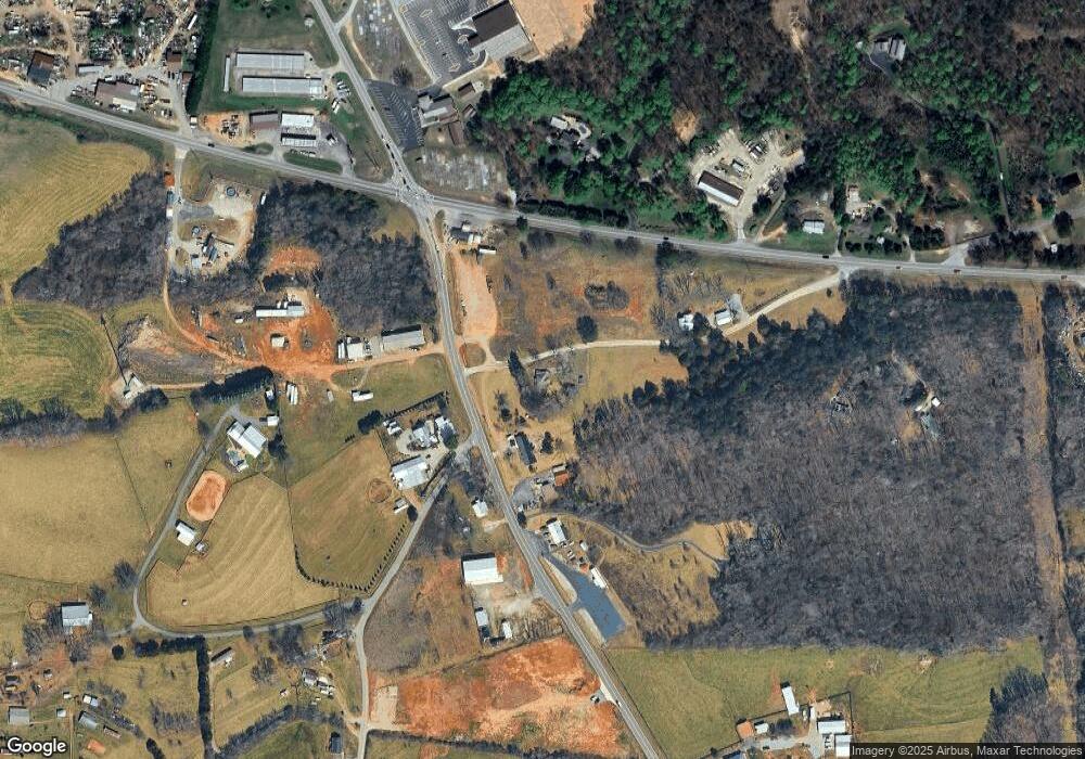
Map
Nearby Homes
- 0 Duncan Bridge Rd Unit 10660634
- 0 Duncan Bridge Rd Unit 10645363
- 00 Freeman Rd
- 0 Freeman Rd Unit LOT 3 10539998
- 0 Freeman Rd Unit LOT 4
- 0 Freeman Rd Unit LOT 2 10539989
- 416 Nelms Rd
- 51 Shelter Cove Rd
- 0 Holiness Campground Rd Unit 10660603
- 0 Holiness Campground Rd Unit 10648171
- 2301 Highway 254
- 915 Holiness Campground Rd
- 332 Mineral Springs Trail
- 1008 River Estates Rd
- 116 Savannah Terrace
- 518 Riverside Dr
- 618 Riverside Dr
- 552 LOT 47 Riverside Dr
- 0 Waterside Trail Unit 10497096
- 0 Waterside Trail Unit 7556513
- 8135 Duncan Bridge Rd
- 53 Sawmill Rd
- 84 Irvin Saw Mill Rd
- 8189 Duncan Bridge Rd
- 8189 Duncan Bridge Rd
- 8172 Duncan Bridge Rd
- 8206 Duncan Bridge Rd
- 6285 Highway 115 E
- 8175 Duncan Bridge Rd
- 120 Hogan Rd
- 6353 Highway 115 E
- 0 Sawmill Rd Unit 3133627
- 52 Sawmill Rd
- 128 Hogan Rd
- 7817 Duncan Bridge Rd
- 7817 Duncan Bridge Rd
- 6432 Highway 115 E
- 220 Hogan Rd
- 6403 Highway 115 E
- 8343 Duncan Bridge Rd