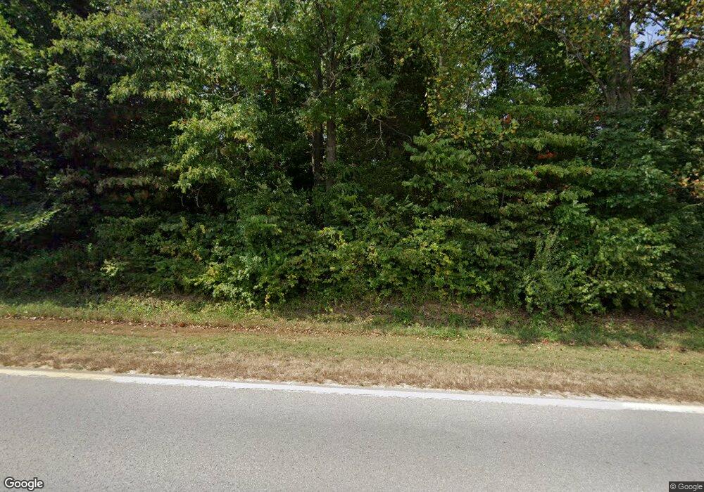
8065 State Route 127 N Alto Pass, IL 62905
Estimated Value: $113,000 - $203,000
--
Bed
--
Bath
--
Sq Ft
5.44
Acres
About This Home
This home is located at 8065 State Route 127 N, Alto Pass, IL 62905 and is currently estimated at $151,316. 8065 State Route 127 N is a home located in Union County with nearby schools including Cobden Elementary School and Cobden High School.
Ownership History
Date
Name
Owned For
Owner Type
Purchase Details
Closed on
Sep 13, 2012
Sold by
Thomas G and Lilley Irrevocable Mildred C
Bought by
Schultz Richard D and Schultz Lois G
Current Estimated Value
Home Financials for this Owner
Home Financials are based on the most recent Mortgage that was taken out on this home.
Original Mortgage
$114,663
Outstanding Balance
$79,379
Interest Rate
3.58%
Mortgage Type
VA
Estimated Equity
$71,937
Purchase Details
Closed on
Sep 4, 2012
Sold by
Lilley Terry and Ratley Pamela
Bought by
Hart Beth and Thomas G & Mildred C Lilley Irrevcable T
Home Financials for this Owner
Home Financials are based on the most recent Mortgage that was taken out on this home.
Original Mortgage
$114,663
Outstanding Balance
$79,379
Interest Rate
3.58%
Mortgage Type
VA
Estimated Equity
$71,937
Create a Home Valuation Report for This Property
The Home Valuation Report is an in-depth analysis detailing your home's value as well as a comparison with similar homes in the area
Home Values in the Area
Average Home Value in this Area
Purchase History
| Date | Buyer | Sale Price | Title Company |
|---|---|---|---|
| Schultz Richard D | -- | -- | |
| Hart Beth | -- | -- |
Source: Public Records
Mortgage History
| Date | Status | Borrower | Loan Amount |
|---|---|---|---|
| Open | Schultz Richard D | $114,663 |
Source: Public Records
Tax History Compared to Growth
Tax History
| Year | Tax Paid | Tax Assessment Tax Assessment Total Assessment is a certain percentage of the fair market value that is determined by local assessors to be the total taxable value of land and additions on the property. | Land | Improvement |
|---|---|---|---|---|
| 2024 | $1,515 | $37,940 | $5,360 | $32,580 |
| 2023 | $1,354 | $35,130 | $4,960 | $30,170 |
| 2022 | $1,320 | $32,528 | $4,597 | $27,931 |
| 2021 | $1,263 | $31,083 | $4,393 | $26,690 |
| 2020 | $1,093 | $28,409 | $4,393 | $24,016 |
| 2019 | $1,100 | $28,409 | $4,393 | $24,016 |
| 2018 | $1,060 | $28,409 | $4,393 | $24,016 |
| 2016 | $1,049 | $27,160 | $4,200 | $22,960 |
| 2015 | -- | $27,160 | $4,200 | $22,960 |
| 2014 | -- | $27,160 | $4,200 | $22,960 |
| 2013 | -- | $27,160 | $4,200 | $22,960 |
Source: Public Records
Map
Nearby Homes
- 355 Chestnut St
- 120 Main St
- 0 Winstead Rd
- 44 Bud Rd
- 44 Budd Rd
- 535 Cass Ln
- 1143 N County Line Rd
- 2705 Cobden School Rd
- 557 Twin Oaks Dr
- 1325 Beech Grove Rd
- Lot 28 U S Highway 51
- 000 U S Highway 51
- 00 Old Us Highway 51
- 85 Maggie Ln
- 350 Oak Grove Rd
- 000 U S 51
- 310 Cross Creek Ln
- Lot 26 Virginia Dr
- Lot 27 Virginia Dr
- 4648 Highway 127
- 0 Illinois 127
- 000 Illinois 127
- 8155 State Route 127 N
- 8145 State Route 127 N
- 320 Chestnut St
- 155 W Olive St
- 329 Chestnut St
- 000 Chestnut St
- 329 Chestnut St
- 385 Chestnut St
- 8390 State Route 127 N
- 00 Chestnut St
- 555 Chestnut St
- 325 Chestnut St
- 485 Chestnut St
- 595 Main St
- 8155 Illinois 127
- 560 Chestnut St
- 305 Chestnut St
- 50 W Olive St
