8069 Us Highway 78 Pell City, AL 35128
Estimated Value: $137,000 - $256,000
--
Bed
--
Bath
1,200
Sq Ft
$159/Sq Ft
Est. Value
About This Home
This home is located at 8069 Us Highway 78, Pell City, AL 35128 and is currently estimated at $190,300, approximately $158 per square foot. 8069 Us Highway 78 is a home located in St. Clair County.
Ownership History
Date
Name
Owned For
Owner Type
Purchase Details
Closed on
Feb 25, 2007
Sold by
Knight Brad T and Knight Summer C
Bought by
Knight Brad T and Knight Summer C
Current Estimated Value
Home Financials for this Owner
Home Financials are based on the most recent Mortgage that was taken out on this home.
Original Mortgage
$30,000
Outstanding Balance
$18,089
Interest Rate
6.19%
Mortgage Type
Credit Line Revolving
Estimated Equity
$172,211
Purchase Details
Closed on
Jan 14, 2004
Sold by
Stevens Lucille Allred
Bought by
Knight Brad T
Home Financials for this Owner
Home Financials are based on the most recent Mortgage that was taken out on this home.
Original Mortgage
$73,841
Interest Rate
5.62%
Mortgage Type
Purchase Money Mortgage
Create a Home Valuation Report for This Property
The Home Valuation Report is an in-depth analysis detailing your home's value as well as a comparison with similar homes in the area
Home Values in the Area
Average Home Value in this Area
Purchase History
| Date | Buyer | Sale Price | Title Company |
|---|---|---|---|
| Knight Brad T | -- | American Title Inc | |
| Knight Brad T | $75,000 | None Available |
Source: Public Records
Mortgage History
| Date | Status | Borrower | Loan Amount |
|---|---|---|---|
| Open | Knight Brad T | $30,000 | |
| Previous Owner | Knight Brad T | $73,841 |
Source: Public Records
Tax History Compared to Growth
Tax History
| Year | Tax Paid | Tax Assessment Tax Assessment Total Assessment is a certain percentage of the fair market value that is determined by local assessors to be the total taxable value of land and additions on the property. | Land | Improvement |
|---|---|---|---|---|
| 2024 | $374 | $20,758 | $5,500 | $15,258 |
| 2023 | $374 | $20,758 | $5,500 | $15,258 |
| 2022 | $348 | $9,675 | $2,810 | $6,865 |
| 2021 | $268 | $9,675 | $2,810 | $6,865 |
| 2020 | $268 | $8,629 | $2,811 | $5,818 |
| 2019 | $266 | $8,571 | $2,811 | $5,760 |
| 2018 | $249 | $8,020 | $0 | $0 |
| 2017 | $246 | $8,020 | $0 | $0 |
| 2016 | $249 | $8,020 | $0 | $0 |
| 2015 | $246 | $8,020 | $0 | $0 |
| 2014 | $246 | $7,940 | $0 | $0 |
Source: Public Records
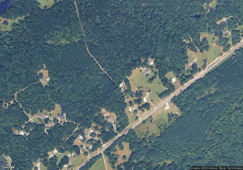
Map
Nearby Homes
- 1160 Rockridge Rd
- 0 Mountain Top Loop Rd Unit 21431921
- 225 Freedom Way Unit 24
- 9620 U S 78
- 1170 Tunnel Mountain Rd
- 1400 Tunnel Mtn Rd
- 206 Shaw Rd
- 0 Cook Springs Rd Unit 21377153
- 0 Cook Springs Rd Unit 21377152
- 1050 Morris Rd
- 2630 +/- Acres
- 910 +/- Acres
- 4255 Kelly Creek Rd
- 285 Maple Leaf Ln
- 367 Kanasita Dr
- 59 Haines Dr Unit 59
- 58 Haines Dr Unit 58
- 16A Haines Dr Unit 16
- 15 Haines Dr Unit 15
- 13 Haines Dr Unit 13
- 8075 Us Highway 78
- 8063 Us Highway 78
- 8095 Us Highway 78
- 8161 Us Highway 78
- 7995 Us Highway 78
- 7995 U S 78
- 8139 Us Highway 78
- 8191 Us Highway 78
- 40 Blueberry Hill
- 11 Blueberry Hill Unit 11
- 4280 Cogswell Ave W
- 140 Blueberry Hill
- 30 Oak Trail
- 8229 Us Highway 78
- 8229 U S 78
- 25 Oak Trail
- 180 Blueberry Hill
- 190 Blueberry Hill
- 175 Blueberry Hill
- 7853 Us Highway 78