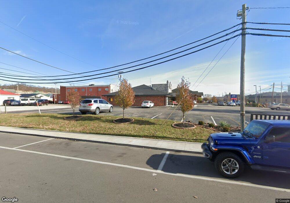
807 Carter Ave Ashland, KY 41101
Ashland City Center NeighborhoodEstimated Value: $926,546
--
Bed
--
Bath
--
Sq Ft
0.5
Acres
About This Home
This home is located at 807 Carter Ave, Ashland, KY 41101 and is currently estimated at $926,546. 807 Carter Ave is a home located in Boyd County with nearby schools including Paul G. Blazer High School and Holy Family School.
Ownership History
Date
Name
Owned For
Owner Type
Purchase Details
Closed on
May 4, 2018
Sold by
Sholas Holdings Company Inc
Bought by
Robinson William E and William E Robinson Living Trust
Current Estimated Value
Home Financials for this Owner
Home Financials are based on the most recent Mortgage that was taken out on this home.
Original Mortgage
$6,465,000
Interest Rate
4.45%
Mortgage Type
Construction
Purchase Details
Closed on
Sep 8, 2014
Sold by
Ng Cadlaon Margaret and Cadlaon Christopher
Bought by
Sholas Holding Company Inc
Create a Home Valuation Report for This Property
The Home Valuation Report is an in-depth analysis detailing your home's value as well as a comparison with similar homes in the area
Home Values in the Area
Average Home Value in this Area
Purchase History
| Date | Buyer | Sale Price | Title Company |
|---|---|---|---|
| Robinson William E | $575,000 | None Available | |
| Sholas Holding Company Inc | $77,000 | None Available |
Source: Public Records
Mortgage History
| Date | Status | Borrower | Loan Amount |
|---|---|---|---|
| Closed | Robinson William E | $6,465,000 |
Source: Public Records
Tax History Compared to Growth
Tax History
| Year | Tax Paid | Tax Assessment Tax Assessment Total Assessment is a certain percentage of the fair market value that is determined by local assessors to be the total taxable value of land and additions on the property. | Land | Improvement |
|---|---|---|---|---|
| 2024 | $3,561 | $603,600 | $75,000 | $528,600 |
| 2023 | $3,440 | $575,000 | $75,000 | $500,000 |
| 2022 | $3,480 | $575,000 | $75,000 | $500,000 |
| 2021 | $3,506 | $575,000 | $75,000 | $500,000 |
| 2020 | $3,581 | $575,000 | $75,000 | $500,000 |
| 2019 | $3,590 | $575,000 | $0 | $0 |
| 2018 | $2,387 | $375,000 | $0 | $0 |
| 2017 | $2,332 | $375,000 | $0 | $0 |
| 2016 | $2,255 | $375,000 | $0 | $0 |
| 2015 | $2,255 | $240,000 | $40,000 | $200,000 |
| 2012 | -- | $240,000 | $40,000 | $200,000 |
Source: Public Records
Map
Nearby Homes
- 0 Central & Mlk
- 508 16th St
- 430 Pierce St
- 0 Amanda Furnace Dr
- 1542 Prospect Place
- 601 Pollard Rd
- 0 Pollard Rd
- 0 18th Street & Central Ave
- 1824 Carter Ave
- 2021 Craft St
- 1715 Hilton Ave Unit 1717
- 1200 Blk Greenup
- Lot 5, 6, 7, 8 Gloria
- 0 Carter Ave
- 2232 Horne St
- 1800 Prospect Ave
- 805 1/2 High St
- 0 Central Ave
- 2135 Central Ave
- 152 Mcguire St
- 739 Carter Ave
- 744 Winchester Ave
- 712 Winchester Ave
- 900 Winchester Ave Unit 932
- 817 Winchester Ave
- Route 5 U S 23
- 700 Winchester Ave
- 224 9th St
- 510 8th St
- 880 Central Ave
- 223 9th St
- 824 Greenup Ave
- 818 Central Ave
- 810 Central Ave
- 822 Central Ave
- 806 Central Ave Unit 806 1/2
- 814 Central Ave
- 800 Central
- 508 8th St
- 858 Central Ave
