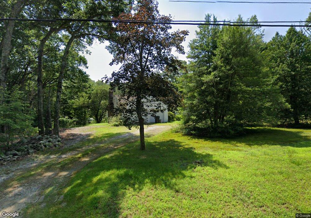
807 Sterling Rd Sterling, CT 06377
Estimated Value: $339,000 - $398,000
3
Beds
2
Baths
1,248
Sq Ft
$290/Sq Ft
Est. Value
About This Home
This home is located at 807 Sterling Rd, Sterling, CT 06377 and is currently estimated at $361,550, approximately $289 per square foot. 807 Sterling Rd is a home located in Windham County with nearby schools including Sterling Community School.
Ownership History
Date
Name
Owned For
Owner Type
Purchase Details
Closed on
May 8, 2003
Sold by
255 Brockhouse Rd Llc
Bought by
Nash Robert A and Comtois-Nash Kathryn P
Current Estimated Value
Home Financials for this Owner
Home Financials are based on the most recent Mortgage that was taken out on this home.
Original Mortgage
$178,900
Outstanding Balance
$78,546
Interest Rate
5.93%
Mortgage Type
VA
Estimated Equity
$283,004
Create a Home Valuation Report for This Property
The Home Valuation Report is an in-depth analysis detailing your home's value as well as a comparison with similar homes in the area
Home Values in the Area
Average Home Value in this Area
Purchase History
| Date | Buyer | Sale Price | Title Company |
|---|---|---|---|
| Nash Robert A | $175,400 | -- | |
| Nash Robert A | $175,400 | -- |
Source: Public Records
Mortgage History
| Date | Status | Borrower | Loan Amount |
|---|---|---|---|
| Open | Nash Robert A | $70,000 | |
| Open | Nash Robert A | $178,900 | |
| Closed | Nash Robert A | $178,900 |
Source: Public Records
Tax History Compared to Growth
Tax History
| Year | Tax Paid | Tax Assessment Tax Assessment Total Assessment is a certain percentage of the fair market value that is determined by local assessors to be the total taxable value of land and additions on the property. | Land | Improvement |
|---|---|---|---|---|
| 2025 | $4,385 | $199,300 | $45,900 | $153,400 |
| 2024 | $4,713 | $199,300 | $45,900 | $153,400 |
| 2023 | $4,428 | $199,300 | $45,900 | $153,400 |
| 2022 | $3,916 | $122,620 | $25,200 | $97,420 |
| 2021 | $3,916 | $122,620 | $25,200 | $97,420 |
| 2020 | $3,916 | $122,620 | $25,200 | $97,420 |
| 2019 | $3,916 | $122,620 | $25,200 | $97,420 |
| 2018 | $3,899 | $122,620 | $25,200 | $97,420 |
| 2017 | $3,866 | $121,580 | $31,850 | $89,730 |
| 2016 | $3,842 | $121,580 | $31,850 | $89,730 |
| 2015 | $3,842 | $121,580 | $31,850 | $89,730 |
| 2014 | $3,830 | $121,580 | $31,850 | $89,730 |
Source: Public Records
Map
Nearby Homes
- 38 Deerfield Dr
- 581 Sterling Rd
- 126 Pine Hill Rd
- 1 Johns Cir
- 5 John's Cir Unit Lot 35
- 1 John's Cir Unit Lot 37
- 8 John's Cir Unit Lot 33
- 197 Church St
- 4 Johns Cir Unit Lot 31
- 7 Johns Cir Unit Lot 34
- 18 Ledge Hill Rd
- 35 River Rd
- 24 River Rd
- 367 Pine Hill Rd
- 532 Lewis Farm Rd
- 0 Rice City Rd
- 176 Hopkins Hollow Rd
- 6356 Flat River Rd
- 58 New Rd
- 93 Moosup Valley Rd
- 724 Sterling Rd
- 815 Sterling Rd
- 795 Sterling Rd
- 818 Sterling Rd
- 783 Sterling Rd
- 63 Spring Lake Rd
- 63A Spring Lake Rd
- 790B Sterling Rd
- 770 Sterling Rd
- 790A Sterling Rd
- 43 Spring Lake Rd
- 42 Spring Lake Rd
- 847A Sterling Rd
- 847 Sterling Rd
- 851 Sterling Rd
- 759 Sterling Rd
- 35 Spring Lake Rd
- 855 Sterling Rd
- 1290 Plainfield Pike
- 861 Sterling Rd