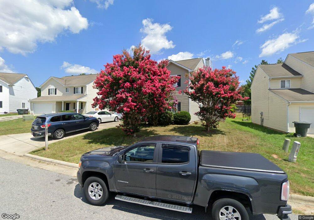
807 Stockport Way Mc Leansville, NC 27301
Estimated Value: $271,000 - $321,000
4
Beds
3
Baths
2,484
Sq Ft
$119/Sq Ft
Est. Value
About This Home
This home is located at 807 Stockport Way, Mc Leansville, NC 27301 and is currently estimated at $295,072, approximately $118 per square foot. 807 Stockport Way is a home located in Guilford County with nearby schools including McLeansville Elementary School, Eastern Guilford Middle School, and Eastern Guilford High School.
Ownership History
Date
Name
Owned For
Owner Type
Purchase Details
Closed on
Jul 22, 2005
Sold by
Old South Home Co
Bought by
Thomas Stephen T and Thomas Norma
Current Estimated Value
Home Financials for this Owner
Home Financials are based on the most recent Mortgage that was taken out on this home.
Original Mortgage
$140,550
Outstanding Balance
$84,593
Interest Rate
8.12%
Mortgage Type
Fannie Mae Freddie Mac
Estimated Equity
$210,479
Create a Home Valuation Report for This Property
The Home Valuation Report is an in-depth analysis detailing your home's value as well as a comparison with similar homes in the area
Home Values in the Area
Average Home Value in this Area
Purchase History
| Date | Buyer | Sale Price | Title Company |
|---|---|---|---|
| Thomas Stephen T | $141,000 | None Available |
Source: Public Records
Mortgage History
| Date | Status | Borrower | Loan Amount |
|---|---|---|---|
| Open | Thomas Stephen T | $140,550 |
Source: Public Records
Tax History Compared to Growth
Tax History
| Year | Tax Paid | Tax Assessment Tax Assessment Total Assessment is a certain percentage of the fair market value that is determined by local assessors to be the total taxable value of land and additions on the property. | Land | Improvement |
|---|---|---|---|---|
| 2025 | $2,060 | $191,800 | $30,000 | $161,800 |
| 2024 | $2,060 | $191,800 | $30,000 | $161,800 |
| 2023 | $2,060 | $191,800 | $30,000 | $161,800 |
| 2022 | $2,001 | $191,800 | $30,000 | $161,800 |
| 2021 | $1,091 | $123,300 | $20,000 | $103,300 |
| 2020 | $1,091 | $123,300 | $20,000 | $103,300 |
| 2019 | $1,091 | $123,300 | $0 | $0 |
| 2018 | $1,059 | $123,300 | $0 | $0 |
| 2017 | $1,668 | $123,300 | $0 | $0 |
| 2016 | $1,671 | $120,700 | $0 | $0 |
| 2015 | $1,681 | $120,700 | $0 | $0 |
| 2014 | $1,693 | $120,700 | $0 | $0 |
Source: Public Records
Map
Nearby Homes
- 5 Cappel Ct
- 7 Torbay Dr
- Farrington Plan at Bennington Village
- Preston Plan at Bennington Village
- Abbington Plan at Bennington Village
- Beddingfield Plan at Bennington Village
- Montclaire Plan at Bennington Village
- 731 Torbay Dr
- 4 Torbay Dr
- 727 Torbay Dr
- 709 Brampton Dr
- 5127 Apsley Dr
- 4803 Redland Ct
- 802 Redland Dr
- 209 Debanne Rd
- 210 Clapp Farms Rd
- 5319 Roshni Terrace
- 5333 Roshni Terrace
- 5344 Roshni Terrace
- 5361 Roshni Terrace
- 809 Stockport Way
- 805 Stockport Way
- 811 Stockport Way
- 803 Stockport Way
- 815 Stockport Way
- 808 Stockport Way
- 810 Stockport Way
- 801 Stockport Way
- 812 Stockport Way
- 806 Stockport Way
- 817 Stockport Way
- 800 Stockport Way
- 814 Stockport Way
- 804 Stockport Way
- 1539 Mount Hope Chu Rd
- 819 Stockport Way
- 1537 Mount Hope Chu Rd
- 802 Stockport Way
- 823 Caledon Dr
- 811 Caledon Dr