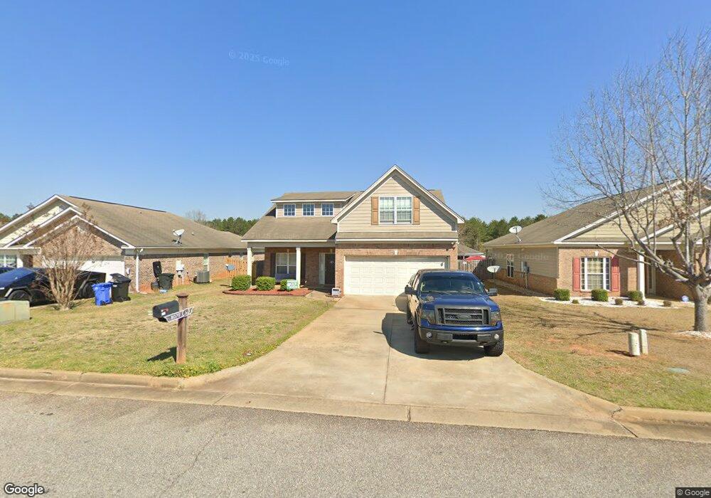
8070 Silverado Dr Columbus, GA 31909
Midland NeighborhoodEstimated Value: $258,013 - $277,000
3
Beds
2
Baths
1,920
Sq Ft
$138/Sq Ft
Est. Value
About This Home
This home is located at 8070 Silverado Dr, Columbus, GA 31909 and is currently estimated at $265,253, approximately $138 per square foot. 8070 Silverado Dr is a home located in Muscogee County with nearby schools including Midland Academy, Blackmon Road Middle School, and Shaw High School.
Ownership History
Date
Name
Owned For
Owner Type
Purchase Details
Closed on
May 26, 2010
Sold by
Grayhawk Homes Inc
Bought by
Burns Gregory J
Current Estimated Value
Home Financials for this Owner
Home Financials are based on the most recent Mortgage that was taken out on this home.
Original Mortgage
$194,291
Outstanding Balance
$130,597
Interest Rate
5.03%
Mortgage Type
VA
Estimated Equity
$134,656
Create a Home Valuation Report for This Property
The Home Valuation Report is an in-depth analysis detailing your home's value as well as a comparison with similar homes in the area
Home Values in the Area
Average Home Value in this Area
Purchase History
| Date | Buyer | Sale Price | Title Company |
|---|---|---|---|
| Burns Gregory J | $188,100 | None Available |
Source: Public Records
Mortgage History
| Date | Status | Borrower | Loan Amount |
|---|---|---|---|
| Open | Burns Gregory J | $194,291 |
Source: Public Records
Tax History
| Year | Tax Paid | Tax Assessment Tax Assessment Total Assessment is a certain percentage of the fair market value that is determined by local assessors to be the total taxable value of land and additions on the property. | Land | Improvement |
|---|---|---|---|---|
| 2025 | $3,540 | $90,432 | $13,620 | $76,812 |
| 2024 | $3,540 | $90,432 | $13,620 | $76,812 |
| 2023 | $356 | $90,432 | $13,620 | $76,812 |
| 2022 | $3,080 | $75,440 | $13,620 | $61,820 |
| 2021 | $2,803 | $68,444 | $13,620 | $54,824 |
| 2020 | $2,795 | $68,444 | $13,620 | $54,824 |
| 2019 | $2,804 | $68,444 | $13,620 | $54,824 |
| 2018 | $2,804 | $68,444 | $13,620 | $54,824 |
| 2017 | $2,813 | $68,444 | $13,620 | $54,824 |
| 2016 | $3,105 | $75,264 | $12,800 | $62,464 |
| 2015 | $3,108 | $75,264 | $12,800 | $62,464 |
| 2014 | $3,112 | $75,264 | $12,800 | $62,464 |
| 2013 | -- | $75,264 | $12,800 | $62,464 |
Source: Public Records
Map
Nearby Homes
- 7389 Sorrel Ct
- 9028 Scottsdale Ct
- 9020 Scottsdale Ct
- 7378 San Vista Dr
- 2991 Slippery Rock Ct
- 5170 Midland Trace
- 5912 Big Oak Dr
- 5135 Midland Trace
- 7168 Pinewood Ct
- 8091 Turtle Creek Dr
- 6528 Yellow Stone Ct
- 6502 Tidewater Ct
- 9199 Travelers Way
- 2630 Spring Chapel Ct
- 7187 Citation Dr
- 4618 Thoroughbred Ln
- 7101 Cross Tie Dr
- 5041 Montego Dr
- 5042 Foxfire Dr
- 5045 Old Post Rd
- 8074 Silverado Dr
- 8066 Silverado Dr
- 9032 Scottsdale Ct
- 8078 Silverado Dr
- 8062 Silverado Dr
- 9033 Scottsdale Ct
- 8082 Silverado Dr
- 9041 Sante fe Ct
- 8099 Santee Ct
- 8058 Silverado Dr
- 9045 Sante fe Ct
- 9033 Sante fe Ct
- 9029 Scottsdale Ct
- 9029 Sante fe Ct
- 9024 Scottsdale Ct
- 8053 Silverado Dr
- 8091 Santee Ct
- 8054 Silverado Dr
- 8103 Santee Ct
- 9049 Sante fe Ct
Your Personal Tour Guide
Ask me questions while you tour the home.