8074 N Ferry Rd Bloomfield, IN 47424
Estimated Value: $237,600 - $359,000
3
Beds
1
Bath
1,824
Sq Ft
$165/Sq Ft
Est. Value
About This Home
This home is located at 8074 N Ferry Rd, Bloomfield, IN 47424 and is currently estimated at $301,200, approximately $165 per square foot. 8074 N Ferry Rd is a home located in Greene County with nearby schools including Bloomfield Elementary School and Bloomfield Junior/Senior High School.
Ownership History
Date
Name
Owned For
Owner Type
Purchase Details
Closed on
Feb 20, 2015
Sold by
Schulz Timothy D and Schulz Thomas Mark
Bought by
Schulz Bryan S
Current Estimated Value
Create a Home Valuation Report for This Property
The Home Valuation Report is an in-depth analysis detailing your home's value as well as a comparison with similar homes in the area
Home Values in the Area
Average Home Value in this Area
Purchase History
| Date | Buyer | Sale Price | Title Company |
|---|---|---|---|
| Schulz Bryan S | -- | Chicago Title |
Source: Public Records
Tax History Compared to Growth
Tax History
| Year | Tax Paid | Tax Assessment Tax Assessment Total Assessment is a certain percentage of the fair market value that is determined by local assessors to be the total taxable value of land and additions on the property. | Land | Improvement |
|---|---|---|---|---|
| 2024 | $884 | $109,800 | $22,800 | $87,000 |
| 2023 | $840 | $108,100 | $22,000 | $86,100 |
| 2022 | $865 | $110,300 | $21,100 | $89,200 |
| 2021 | $884 | $106,200 | $20,700 | $85,500 |
| 2020 | $854 | $109,000 | $20,700 | $88,300 |
| 2019 | $849 | $109,600 | $21,300 | $88,300 |
| 2018 | $852 | $109,900 | $21,400 | $88,500 |
| 2017 | $778 | $106,200 | $21,900 | $84,300 |
| 2016 | $837 | $109,400 | $22,200 | $87,200 |
| 2014 | $1,899 | $114,300 | $30,100 | $84,200 |
| 2013 | -- | $112,700 | $28,300 | $84,400 |
Source: Public Records
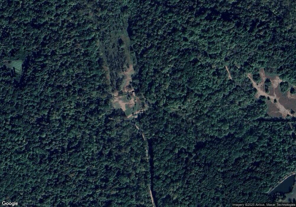
Map
Nearby Homes
- TBD N Ferry Rd
- 7339 E McVille Rd
- 0 Newark Rd Unit MBR22060733
- 6257 E Calvertville Rd
- 2761 W Porter Ridge Rd
- 5746 N La Salle Estates Ln
- 5746 N La Salle Estates Dr
- 7289 Abrell Rd
- 1271 Cedar Ln
- 7000 S US Highway 231
- 9643 E McVille Rd
- 00 Freedom Rd
- 5276 N Blue Heron Rd
- RICHLAND CREEK CT E Richland Creek Ct
- 5732 Wall St
- TBD N Legion Rd
- 7071 Braysville Rd
- 7403 Griffith Rd
- 1889 E Frye Rd
- 4803 N State Road 43