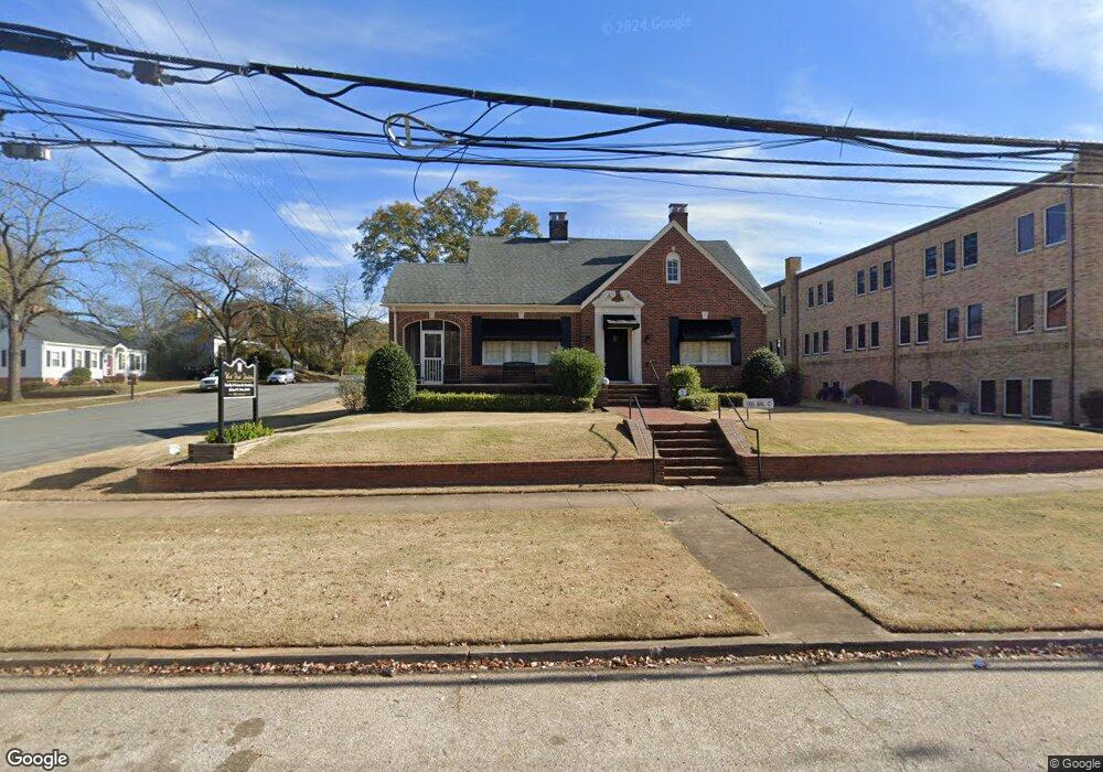
808 Avenue C West Point, GA 31833
Estimated Value: $104,414
4
Beds
2
Baths
3,002
Sq Ft
$35/Sq Ft
Est. Value
About This Home
This home is located at 808 Avenue C, West Point, GA 31833 and is currently priced at $104,414, approximately $34 per square foot. 808 Avenue C is a home located in Troup County with nearby schools including West Point Elementary School, Long Cane Elementary School, and Whitesville Road Elementary School.
Ownership History
Date
Name
Owned For
Owner Type
Purchase Details
Closed on
Apr 10, 2020
Sold by
Blades Carl A
Bought by
Mwn Holdings Llc
Current Estimated Value
Home Financials for this Owner
Home Financials are based on the most recent Mortgage that was taken out on this home.
Original Mortgage
$576,064
Outstanding Balance
$235,503
Interest Rate
3.3%
Mortgage Type
New Conventional
Purchase Details
Closed on
Dec 18, 1997
Sold by
Carl Blades
Bought by
Gayla K Blades
Purchase Details
Closed on
Apr 8, 1997
Sold by
Andrew M Macconnell
Bought by
Carl Blades
Purchase Details
Closed on
Dec 1, 1985
Sold by
Irene John and Irene Macconnell
Bought by
Andrew M Macconnell
Purchase Details
Closed on
Aug 3, 1984
Sold by
John D Macconnell
Bought by
Irene John and Irene Macconnell
Purchase Details
Closed on
Jun 29, 1984
Bought by
John D Macconnell
Create a Home Valuation Report for This Property
The Home Valuation Report is an in-depth analysis detailing your home's value as well as a comparison with similar homes in the area
Home Values in the Area
Average Home Value in this Area
Purchase History
| Date | Buyer | Sale Price | Title Company |
|---|---|---|---|
| Mwn Holdings Llc | $70,000 | -- | |
| Gayla K Blades | -- | -- | |
| Carl Blades | $140,000 | -- | |
| Andrew M Macconnell | $86,500 | -- | |
| Irene John | -- | -- | |
| John D Macconnell | -- | -- |
Source: Public Records
Mortgage History
| Date | Status | Borrower | Loan Amount |
|---|---|---|---|
| Open | Mwn Holdings Llc | $576,064 |
Source: Public Records
Tax History Compared to Growth
Tax History
| Year | Tax Paid | Tax Assessment Tax Assessment Total Assessment is a certain percentage of the fair market value that is determined by local assessors to be the total taxable value of land and additions on the property. | Land | Improvement |
|---|---|---|---|---|
| 2024 | $3,876 | $109,560 | $9,480 | $100,080 |
| 2023 | $3,733 | $104,840 | $9,480 | $95,360 |
| 2022 | $2,747 | $98,440 | $9,480 | $88,960 |
| 2021 | $2,375 | $78,760 | $9,480 | $69,280 |
| 2020 | $2,045 | $67,800 | $6,000 | $61,800 |
| 2019 | $2,057 | $68,200 | $6,000 | $62,200 |
| 2018 | $1,968 | $65,240 | $6,000 | $59,240 |
| 2017 | $1,968 | $65,240 | $6,000 | $59,240 |
| 2016 | $1,720 | $57,012 | $6,000 | $51,012 |
| 2015 | $1,722 | $57,012 | $6,000 | $51,012 |
| 2014 | $1,725 | $57,012 | $6,000 | $51,012 |
| 2013 | -- | $57,012 | $6,000 | $51,012 |
Source: Public Records
Map
Nearby Homes
- 713 Avenue H
- 311 E 4th St
- 804 E 6th St
- 1008 E 12th St
- 712 4th Ave
- 0 Arrowhead Dr Unit 10451860
- 1007 4th Ave
- 509 Cleveland St
- 1505 Wisteria Dr
- 1314 4th Ave
- 1410 Roper Ave
- 112 Hillcrest Rd
- 1508 N 4th Ave
- 128 Highland Dr
- 0 Sunset Dr Unit 10451831
- 302 N 6th Ave
- 514 N 8th Ave
- 811 Cherry Dr
- 813 Cherry Dr
- 806 N 5th St