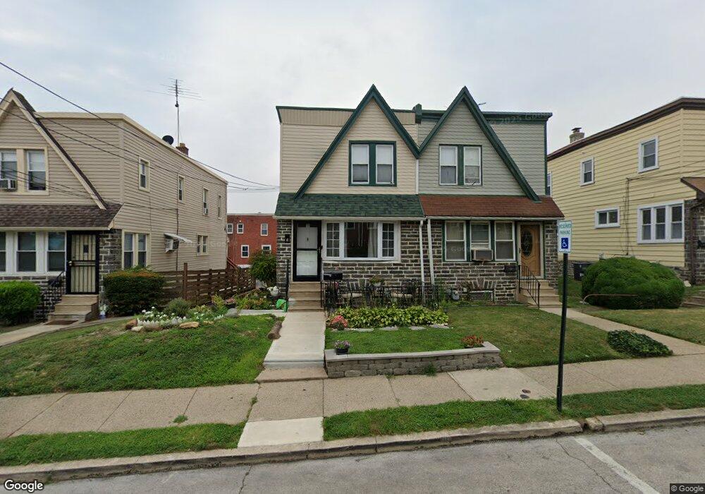
808 Bullock Ave Lansdowne, PA 19050
Estimated Value: $190,000 - $270,000
3
Beds
1
Bath
1,344
Sq Ft
$173/Sq Ft
Est. Value
About This Home
This home is located at 808 Bullock Ave, Lansdowne, PA 19050 and is currently estimated at $231,970, approximately $172 per square foot. 808 Bullock Ave is a home located in Delaware County with nearby schools including Evans Elementary School, Penn Wood Middle School, and Penn Wood High School - Cypress Street Campus.
Ownership History
Date
Name
Owned For
Owner Type
Purchase Details
Closed on
Jul 23, 2012
Sold by
Miller Lavinia M
Bought by
Miller Lavinia M and Johnson Dia Shrea
Current Estimated Value
Purchase Details
Closed on
Aug 16, 2001
Sold by
Miller Marvin D and Miller Lavinia M
Bought by
Miller Lavinia M
Home Financials for this Owner
Home Financials are based on the most recent Mortgage that was taken out on this home.
Original Mortgage
$69,800
Interest Rate
7.21%
Create a Home Valuation Report for This Property
The Home Valuation Report is an in-depth analysis detailing your home's value as well as a comparison with similar homes in the area
Home Values in the Area
Average Home Value in this Area
Purchase History
| Date | Buyer | Sale Price | Title Company |
|---|---|---|---|
| Miller Lavinia M | -- | None Available | |
| Miller Lavinia M | -- | Fidelity National Title Ins |
Source: Public Records
Mortgage History
| Date | Status | Borrower | Loan Amount |
|---|---|---|---|
| Closed | Miller Lavinia M | $69,800 |
Source: Public Records
Tax History Compared to Growth
Tax History
| Year | Tax Paid | Tax Assessment Tax Assessment Total Assessment is a certain percentage of the fair market value that is determined by local assessors to be the total taxable value of land and additions on the property. | Land | Improvement |
|---|---|---|---|---|
| 2025 | $4,447 | $104,150 | $33,050 | $71,100 |
| 2024 | $4,447 | $104,150 | $33,050 | $71,100 |
| 2023 | $4,039 | $104,150 | $33,050 | $71,100 |
| 2022 | $3,851 | $104,150 | $33,050 | $71,100 |
| 2021 | $5,824 | $104,150 | $33,050 | $71,100 |
| 2020 | $3,889 | $62,280 | $19,070 | $43,210 |
| 2019 | $3,821 | $62,280 | $19,070 | $43,210 |
| 2018 | $3,768 | $62,280 | $0 | $0 |
| 2017 | $3,689 | $62,280 | $0 | $0 |
| 2016 | $342 | $62,280 | $0 | $0 |
| 2015 | $342 | $62,280 | $0 | $0 |
| 2014 | $342 | $62,280 | $0 | $0 |
Source: Public Records
Map
Nearby Homes
- 800 Bullock Ave
- 740 Church Ln
- 808 Serrill Ave
- 825 Laurel Rd
- 908 Yeadon Ave
- 722 Yeadon Ave
- 711 Yeadon Ave Unit 1
- 813 Arbor Rd
- 921 Serrill Ave
- 939 Serrill Ave
- 702 Cedar Ave
- 923 Bell Ave
- 1016 Whitby Ave
- 1049 Yeadon Ave
- 530 Orchard Ave
- 6535 Windsor St
- 6718 Cobbs Creek Pkwy
- 536 Cypress St
- 1781 S 65th St
- 503 Bonsall Ave
- 810 Bullock Ave
- 806 Bullock Ave
- 812 Bullock Ave
- 804 Bullock Ave
- 802 Bullock Ave
- 814 Bullock Ave
- 809 Yeadon Ave
- 807 Yeadon Ave
- 811 Yeadon Ave
- 803 Yeadon Ave
- 815 Yeadon Ave
- 818 Bullock Ave
- 801 Yeadon Ave
- 817 Yeadon Ave
- 820 Bullock Ave
- 811 Bullock Ave
- 809 Bullock Ave
- 807 Bullock Ave
- 762 Bullock Ave
- 813 Bullock Ave