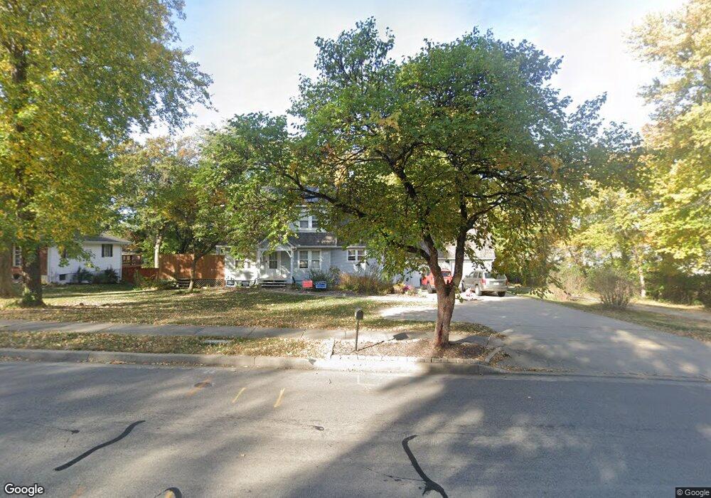
808 Conistor Ln Liberty, MO 64068
Estimated Value: $403,000 - $632,901
3
Beds
4
Baths
2,630
Sq Ft
$210/Sq Ft
Est. Value
About This Home
This home is located at 808 Conistor Ln, Liberty, MO 64068 and is currently estimated at $551,975, approximately $209 per square foot. 808 Conistor Ln is a home located in Clay County with nearby schools including Alexander Doniphan Elementary School, Discovery Middle School, and Liberty High School.
Ownership History
Date
Name
Owned For
Owner Type
Purchase Details
Closed on
Dec 14, 2023
Sold by
Mose Roger Eric and Co-Gra Darla
Bought by
Mose Roger E
Current Estimated Value
Home Financials for this Owner
Home Financials are based on the most recent Mortgage that was taken out on this home.
Original Mortgage
$665,000
Outstanding Balance
$653,964
Interest Rate
7.76%
Mortgage Type
Construction
Estimated Equity
-$101,989
Purchase Details
Closed on
Aug 17, 2019
Sold by
Mose Roger E and Mose Darla J
Bought by
Mose Roger Eric and Mose Darla Jo
Create a Home Valuation Report for This Property
The Home Valuation Report is an in-depth analysis detailing your home's value as well as a comparison with similar homes in the area
Home Values in the Area
Average Home Value in this Area
Purchase History
| Date | Buyer | Sale Price | Title Company |
|---|---|---|---|
| Mose Roger E | -- | Thomson Affinity Title | |
| Mose Roger Eric | -- | None Available |
Source: Public Records
Mortgage History
| Date | Status | Borrower | Loan Amount |
|---|---|---|---|
| Open | Mose Roger E | $665,000 |
Source: Public Records
Tax History
| Year | Tax Paid | Tax Assessment Tax Assessment Total Assessment is a certain percentage of the fair market value that is determined by local assessors to be the total taxable value of land and additions on the property. | Land | Improvement |
|---|---|---|---|---|
| 2025 | $7,029 | $99,580 | -- | -- |
| 2024 | $7,029 | $91,390 | -- | -- |
| 2023 | $7,148 | $91,390 | $0 | $0 |
| 2022 | $6,748 | $85,180 | $0 | $0 |
| 2021 | $6,695 | $85,177 | $5,320 | $79,857 |
| 2020 | $6,422 | $76,720 | $0 | $0 |
| 2019 | $6,420 | $76,720 | $0 | $0 |
| 2018 | $5,839 | $68,510 | $0 | $0 |
| 2017 | $5,084 | $61,900 | $5,320 | $56,580 |
| 2016 | $5,084 | $60,210 | $5,320 | $54,890 |
| 2015 | $5,085 | $60,210 | $5,320 | $54,890 |
| 2014 | $4,951 | $58,160 | $5,320 | $52,840 |
Source: Public Records
Map
Nearby Homes
- 253 S Stewart Rd
- 509 Belmont St
- 1209 Liberty Drive Terrace
- 406 Melrose St
- 319 Glendale Rd
- 1601 Dunwich Dr
- 1114 W Liberty Dr
- 53 Fulkerson Cir
- 29 Fulkerson Cir
- 1327 Easton Ct
- 248 Range Line Rd
- 405 Wherritt Ln
- 9008 NE 80th St
- 823 Reed St
- 8915 NE 80th Terrace
- 194 Camelot Dr
- 1515 Trumpet Ct
- 8129 N Farley Ave
- 1505 Ashton Dr
- 7604 NE 103rd Terrace
- 725 Riverwood Dr
- 1930 Kings Hwy
- 724 Riverwood Dr
- 814 Conistor Ln
- 840 Conistor Ln
- 717 Riverwood Dr
- 720 Riverwood Dr
- 1950 Kings Hwy
- 1910 Kings Hwy
- 716 Riverwood Dr
- 1921 CeMcO Dr
- 1960 Kings Hwy
- 1917 CeMcO Dr
- 1913 CeMcO Dr
- 712 Riverwood Dr
- 1909 CeMcO Dr
- 1935 Kings Hwy
- 1925 Kings Hwy
- 1819 Middlemarch Terrace
- 1905 CeMcO Dr
Your Personal Tour Guide
Ask me questions while you tour the home.