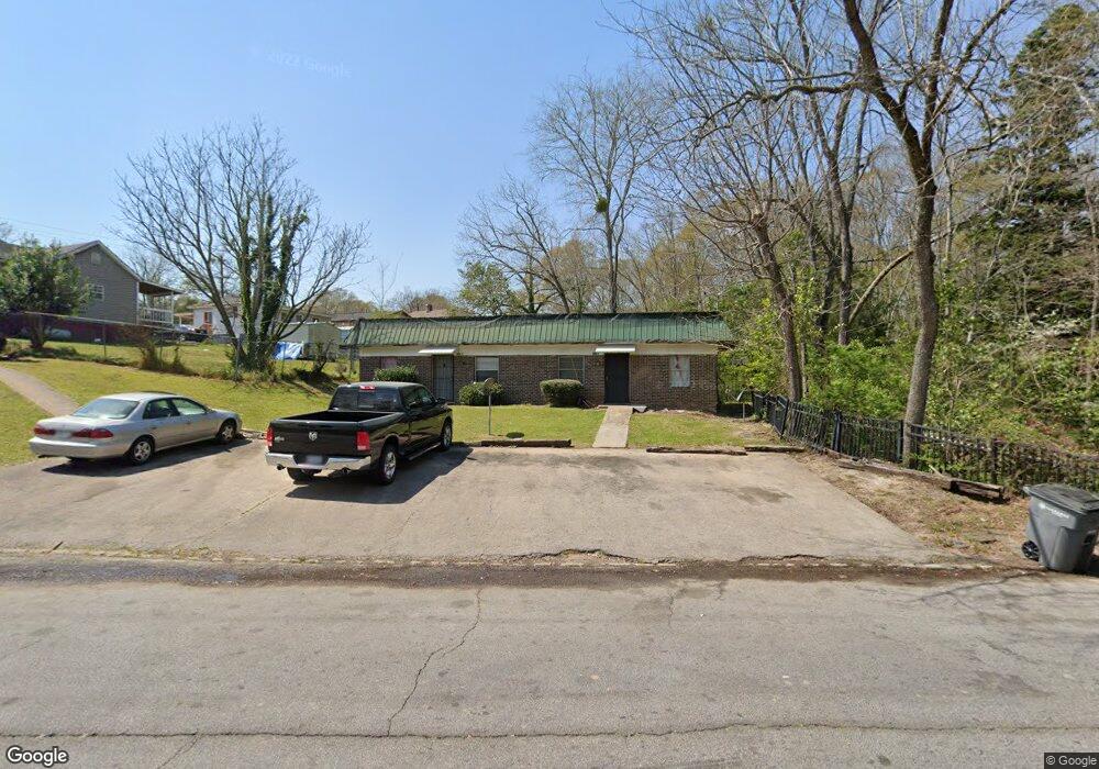
808 Daniel St Lagrange, GA 30241
Estimated Value: $125,000 - $316,000
4
Beds
4
Baths
1,377
Sq Ft
$140/Sq Ft
Est. Value
About This Home
This home is located at 808 Daniel St, Lagrange, GA 30241 and is currently estimated at $193,406, approximately $140 per square foot. 808 Daniel St is a home located in Troup County with nearby schools including Callaway Elementary School, Hogansville Elementary School, and Callaway Middle School.
Ownership History
Date
Name
Owned For
Owner Type
Purchase Details
Closed on
Aug 4, 2014
Sold by
Ray Henry
Bought by
Godwin Timothy
Current Estimated Value
Purchase Details
Closed on
Feb 24, 1995
Sold by
Henry L Ray
Bought by
Kenneth Ray
Purchase Details
Closed on
Feb 21, 1995
Sold by
Samuel F Tucker
Bought by
Henry L Ray
Purchase Details
Closed on
Jan 1, 1981
Sold by
Robert Adams
Bought by
Samuel F Tucker
Purchase Details
Closed on
Mar 18, 1980
Sold by
Qc
Bought by
Robert Adams
Purchase Details
Closed on
Jan 1, 1964
Sold by
Robt Geo and Robt Adams Turnbough
Bought by
Qc
Create a Home Valuation Report for This Property
The Home Valuation Report is an in-depth analysis detailing your home's value as well as a comparison with similar homes in the area
Purchase History
| Date | Buyer | Sale Price | Title Company |
|---|---|---|---|
| Godwin Timothy | -- | -- | |
| Kenneth Ray | -- | -- | |
| Henry L Ray | $58,900 | -- | |
| Samuel F Tucker | $6,500 | -- | |
| Robert Adams | -- | -- | |
| Qc | -- | -- |
Source: Public Records
Tax History
| Year | Tax Paid | Tax Assessment Tax Assessment Total Assessment is a certain percentage of the fair market value that is determined by local assessors to be the total taxable value of land and additions on the property. | Land | Improvement |
|---|---|---|---|---|
| 2025 | $996 | $36,520 | $7,640 | $28,880 |
| 2024 | $904 | $33,160 | $7,640 | $25,520 |
| 2023 | $826 | $30,280 | $7,640 | $22,640 |
| 2022 | $805 | $28,840 | $7,640 | $21,200 |
| 2021 | $645 | $21,380 | $4,560 | $16,820 |
| 2020 | $645 | $21,380 | $4,560 | $16,820 |
| 2019 | $596 | $19,756 | $4,560 | $15,196 |
| 2018 | $580 | $19,241 | $5,805 | $13,436 |
| 2017 | $580 | $19,241 | $5,805 | $13,436 |
| 2016 | $561 | $18,609 | $5,805 | $12,804 |
| 2015 | $491 | $16,246 | $3,442 | $12,804 |
| 2014 | $471 | $15,577 | $3,442 | $12,134 |
| 2013 | -- | $16,702 | $3,442 | $13,260 |
Source: Public Records
Map
Nearby Homes
- 626 Smoot St
- 510 Smoot St
- 0 Brown St Unit 10550761
- 0 Brown St Unit 10550754
- 0 E Fendig St
- 113 E Fendig St
- 200 Mccall St
- 901 Whiteline St
- 203 Revis St
- 205 Revis St
- 0 Burr St
- 306 Burr St
- 109 Bell St
- 105 Dix St
- 0 Kelley St Unit 10550311
- 130 Edgewood Ave
- 0 Boggs St Unit 10550243
- 0 Boggs St Unit 10550231
- 0 Boggs St Unit 10550239
- 0 Boggs St Unit 10550250
- 415 Colquitt St
- 411 Colquitt St
- 417 Colquitt St
- 413 Colquitt St
- 806 Daniel St
- 409 Colquitt St
- 811 Daniel St
- 809 Daniel St
- 804 Daniel St
- 807 Daniel St
- 407 Colquitt St
- 805 Daniel St
- 803 Daniel St
- 501 Colquitt St
- 802 Daniel St
- 412 Colquitt St
- 405 Colquitt St
- 414 Colquitt St
- 0 Pyracantha Dr Unit 10038918
- 0 Pyracantha Dr Unit 3139259
Your Personal Tour Guide
Ask me questions while you tour the home.