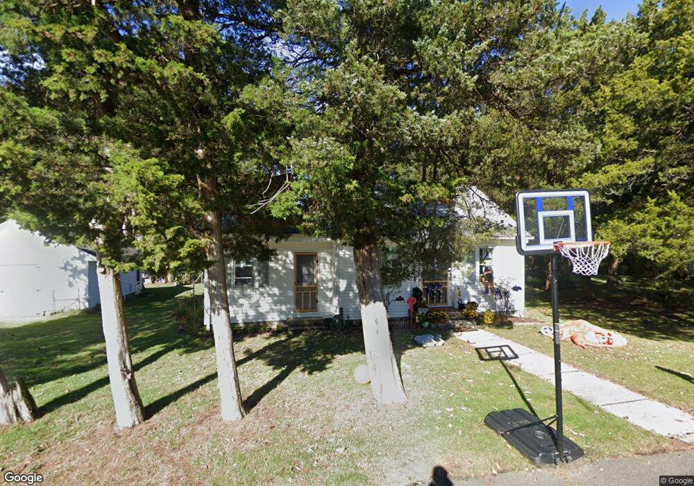
808 Lincoln Ave Marmora, NJ 08223
Estimated Value: $259,983 - $441,000
--
Bed
--
Bath
908
Sq Ft
$395/Sq Ft
Est. Value
About This Home
This home is located at 808 Lincoln Ave, Marmora, NJ 08223 and is currently estimated at $358,746, approximately $395 per square foot. 808 Lincoln Ave is a home located in Cape May County with nearby schools including Upper Township Primary School, Upper Township Elementary School, and Upper Township Middle School.
Ownership History
Date
Name
Owned For
Owner Type
Purchase Details
Closed on
Jul 29, 2024
Sold by
Cruse Brian K and Cruse Linda C
Bought by
Cruse John and Cruse Samantha
Current Estimated Value
Purchase Details
Closed on
Apr 25, 2003
Sold by
Goldy Roberta Joan
Bought by
Cruse Brian K and Cruse Linda C
Home Financials for this Owner
Home Financials are based on the most recent Mortgage that was taken out on this home.
Original Mortgage
$118,750
Interest Rate
5.84%
Create a Home Valuation Report for This Property
The Home Valuation Report is an in-depth analysis detailing your home's value as well as a comparison with similar homes in the area
Home Values in the Area
Average Home Value in this Area
Purchase History
| Date | Buyer | Sale Price | Title Company |
|---|---|---|---|
| Cruse John | $215,000 | Surety Title | |
| Redacted Upon Request | $215,000 | Surety Title | |
| Cruse Brian K | $125,000 | -- |
Source: Public Records
Mortgage History
| Date | Status | Borrower | Loan Amount |
|---|---|---|---|
| Previous Owner | Cruse Brian K | $118,750 |
Source: Public Records
Tax History Compared to Growth
Tax History
| Year | Tax Paid | Tax Assessment Tax Assessment Total Assessment is a certain percentage of the fair market value that is determined by local assessors to be the total taxable value of land and additions on the property. | Land | Improvement |
|---|---|---|---|---|
| 2025 | $4,443 | $193,600 | $120,600 | $73,000 |
| 2024 | $4,443 | $193,600 | $120,600 | $73,000 |
| 2023 | $4,224 | $193,600 | $120,600 | $73,000 |
| 2022 | $4,069 | $193,600 | $120,600 | $73,000 |
| 2021 | $3,922 | $193,600 | $120,600 | $73,000 |
| 2020 | $3,773 | $193,600 | $120,600 | $73,000 |
| 2019 | $3,673 | $193,600 | $120,600 | $73,000 |
| 2018 | $3,576 | $193,600 | $120,600 | $73,000 |
| 2017 | $3,531 | $193,600 | $120,600 | $73,000 |
| 2016 | $3,248 | $175,100 | $120,600 | $54,500 |
| 2015 | $3,161 | $175,100 | $120,600 | $54,500 |
| 2014 | $3,415 | $232,000 | $175,800 | $56,200 |
Source: Public Records
Map
Nearby Homes
- 527 N 527 N Shore Rd
- 601 2nd Ave
- 16 Lenape Ln
- 202 N Shore Rd
- 125 N Shore Rd
- 32 Norwood Rd
- 14 Lyndhurst Rd
- 1 Roosevelt Blvd
- 100 Reef Dr Unit 94
- 100 Reef Dr
- 14 Roberts Ave
- 1904 Glenwood Dr
- 1901 Glenwood Dr
- 2019 Glenwood Dr
- 9 Coral Ln
- 71 Spruce Rd
- 20 Gilbert Ln
- 78 Windjammer Dr
- 1 Bayside Dr Unit F1
- 2604 Christina Ln
- 804 Lincoln Ave
- 22 Harding Ave
- 807 Lincoln Ave
- 800 Lincoln Ave
- 15 Harding Ave
- 801 Lincoln Ave
- 10 Harding Ave
- 9 Harding Ave
- 9 Walton Ave
- 736 Lincoln Ave
- 5 Harding Ave
- 6 Harding Ave
- 830 N Shore Rd N
- 1 Walton Ave
- 1 Harding Ave
- 735 Lincoln Ave
- 740 Route Us 9 N
- 740 Route Us 9 S
- 840 N Shore Rd N
- 736 Route Us 9 N