808 Mat Rd Laurel Fork, VA 24352
Laurel Fork NeighborhoodEstimated Value: $1,356,480
Studio
--
Bath
--
Sq Ft
58.02
Acres
About This Home
This home is located at 808 Mat Rd, Laurel Fork, VA 24352 and is currently estimated at $1,356,480. 808 Mat Rd is a home located in Carroll County with nearby schools including Gladesboro Elementary School, Carroll County Middle School, and Carroll County High School.
Ownership History
Date
Name
Owned For
Owner Type
Purchase Details
Closed on
Aug 19, 2017
Sold by
Moree Frederick Scott and Moree Kemla Williams
Bought by
Moree F Scott and F Scott Moree Revocable Inter Vivos Trus
Current Estimated Value
Purchase Details
Closed on
Jun 12, 2007
Sold by
Elliott R Wray and Elliott Carol A
Bought by
Moree Frederick Scott and Moree Kemla Williams
Create a Home Valuation Report for This Property
The Home Valuation Report is an in-depth analysis detailing your home's value as well as a comparison with similar homes in the area
Home Values in the Area
Average Home Value in this Area
Purchase History
| Date | Buyer | Sale Price | Title Company |
|---|---|---|---|
| Moree F Scott | -- | None Available | |
| Moree Frederick Scott | $760,000 | None Available |
Source: Public Records
Tax History
| Year | Tax Paid | Tax Assessment Tax Assessment Total Assessment is a certain percentage of the fair market value that is determined by local assessors to be the total taxable value of land and additions on the property. | Land | Improvement |
|---|---|---|---|---|
| 2025 | $7,079 | $1,444,700 | $234,700 | $1,210,000 |
| 2024 | $5,299 | $898,200 | $158,600 | $739,600 |
| 2023 | $5,299 | $898,200 | $158,600 | $739,600 |
| 2022 | $3,960 | $618,800 | $158,600 | $460,200 |
| 2021 | $3,960 | $618,800 | $158,600 | $460,200 |
| 2020 | $1,877 | $257,100 | $156,600 | $100,500 |
| 2019 | $1,787 | $257,100 | $156,600 | $100,500 |
| 2018 | $1,787 | $257,100 | $156,600 | $100,500 |
| 2017 | $1,787 | $257,100 | $156,600 | $100,500 |
| 2016 | $1,780 | $261,800 | $156,600 | $105,200 |
| 2015 | -- | $261,800 | $156,600 | $105,200 |
| 2014 | -- | $261,800 | $156,600 | $105,200 |
Source: Public Records
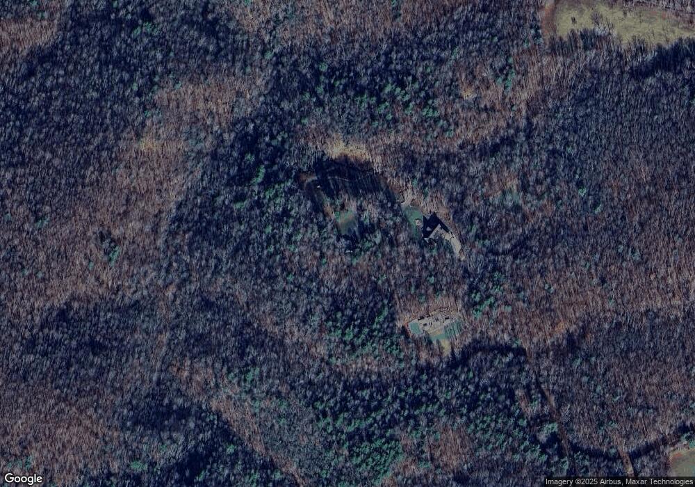
Map
Nearby Homes
- 437 Shelor Rd SW
- 0 Shelor Rd SW
- 0 Shelor Rd Unit 104441
- 0 Shelor Rd Unit 25348782
- 0 Shelor Rd Unit 145679
- 0 Long Mountain Rd SW
- TBD Long Mountain Rd SW
- TBD Old Danville Pike
- 13886 Danville Pike
- 947 Bellspur Rd
- 13256 Danville Pike
- 688 Gibson Knob Rd
- 302 Cardinal Cir
- 0 Jeb Stuart Hwy
- TBD Dugspur Rd
- 183 Hurricane Ridge Rd
- TBD Blue Lake Ln
- 1205 Stone Mountain Rd
- TBD Lake Bend Trail
- 5485 Buffalo Mountain Rd SW
- 647 Shady Ln
- 619 Shady Ln
- 573 Shady Ln
- 0 Mat Rd SW
- 1323 Maple Shade Rd
- 1675 Fireside Dr
- 931 Maple Shade Rd
- 2053 Hylton Rd
- 0 Mat Rd Unit 878473
- 316 Shelor Rd
- 652 High Mountain Trail
- 418 Shelor Rd SW
- 358 Shelor Rd SW
- 929 Maple Shade Rd
- 736 Rich Hill Rd
- 423 Shelor Rd SW
- 579 Rich Hill Rd
- 441 Shelor Rd SW
- 441 Shelor Rd SW
- 1886 Fireside Dr