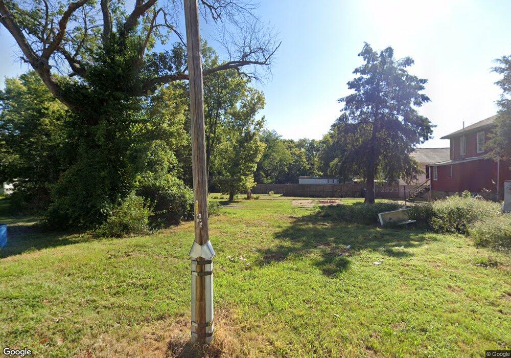
808 N Cherry St Harrisburg, IL 62946
Estimated Value: $116,000
--
Bed
--
Bath
--
Sq Ft
3,485
Sq Ft Lot
About This Home
This home is located at 808 N Cherry St, Harrisburg, IL 62946 and is currently priced at $116,000. 808 N Cherry St is a home located in Saline County with nearby schools including East Side Intermediate School, Harrisburg Middle School, and Harrisburg High School.
Ownership History
Date
Name
Owned For
Owner Type
Purchase Details
Closed on
Dec 4, 2023
Sold by
Barger Claud David
Bought by
Barger Claud David and Barger Claud Ellis
Current Estimated Value
Purchase Details
Closed on
Oct 12, 2023
Sold by
Saline County
Bought by
Saline County
Purchase Details
Closed on
Aug 21, 2019
Sold by
Conkle Edward L
Bought by
Barger Claud
Purchase Details
Closed on
Sep 19, 2013
Sold by
The City Of Harrisburg
Bought by
Conkle Edward L
Purchase Details
Closed on
Aug 31, 2011
Sold by
Peter Larrk Trust
Bought by
City Of Harrisburg
Create a Home Valuation Report for This Property
The Home Valuation Report is an in-depth analysis detailing your home's value as well as a comparison with similar homes in the area
Home Values in the Area
Average Home Value in this Area
Purchase History
| Date | Buyer | Sale Price | Title Company |
|---|---|---|---|
| Barger Claud David | -- | None Listed On Document | |
| Saline County | -- | None Listed On Document | |
| Saline County | -- | None Listed On Document | |
| Barger Claud | -- | None Available | |
| Conkle Edward L | $500 | None Available | |
| City Of Harrisburg | -- | None Available |
Source: Public Records
Tax History Compared to Growth
Tax History
| Year | Tax Paid | Tax Assessment Tax Assessment Total Assessment is a certain percentage of the fair market value that is determined by local assessors to be the total taxable value of land and additions on the property. | Land | Improvement |
|---|---|---|---|---|
| 2024 | -- | $0 | $0 | $0 |
| 2023 | -- | $0 | $0 | $0 |
| 2022 | $140 | $1,355 | $1,355 | $0 |
| 2021 | $145 | $1,397 | $1,397 | $0 |
| 2020 | $143 | $1,355 | $1,355 | $0 |
| 2019 | $146 | $1,355 | $1,355 | $0 |
| 2018 | $148 | $1,355 | $1,355 | $0 |
| 2017 | $145 | $1,355 | $1,355 | $0 |
| 2016 | -- | $0 | $0 | $0 |
| 2015 | -- | $0 | $0 | $0 |
| 2014 | $66 | $0 | $0 | $0 |
| 2013 | $66 | $0 | $0 | $0 |
| 2012 | $66 | $0 | $0 | $0 |
Source: Public Records
Map
Nearby Homes
- 111 W Midkiff St
- 0 Ron Crank Dr Unit EB441387
- 311 W Poplar St
- 18 S Mill St
- 202 W Poplar St
- 216 W Poplar St
- 204 N Sherman St
- 305 W Church St
- 215 S Jackson St
- 430 W Church St
- 210 W Lincoln St
- 305 W Lincoln St
- 504 W South St
- 630 N Commercial St
- 206 W Homer Ave
- 127 W Homer Ave
- 333 E Sloan St
- 200 Ogara St
- 520 S Mckinley St
- 201 W Ogara St