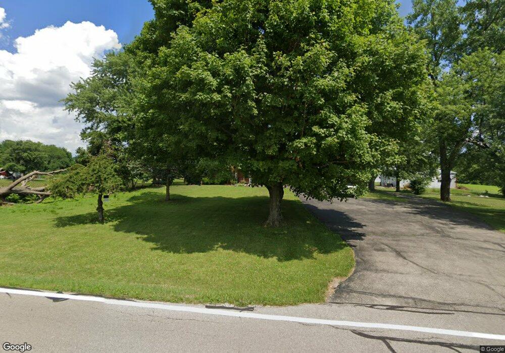
Estimated Value: $234,769 - $383,000
3
Beds
1
Bath
1,496
Sq Ft
$206/Sq Ft
Est. Value
About This Home
This home is located at 808 Union Rd, Xenia, OH 45385 and is currently estimated at $308,885, approximately $206 per square foot. 808 Union Rd is a home located in Greene County with nearby schools including Xenia High School, Summit Academy Community School for Alternative Learners - Xenia, and Legacy Christian Academy.
Ownership History
Date
Name
Owned For
Owner Type
Purchase Details
Closed on
Aug 4, 2021
Sold by
Mcclelland Ronald A and Mcclelland Marilyn J
Bought by
Kunzelman Anthony and Kunzelman Samantha
Current Estimated Value
Purchase Details
Closed on
Jan 17, 2019
Sold by
Mcclelland Ronald A and Mclelland Marilyn J
Bought by
Mcclelland Ronald A and Mcclelland Marilyn J
Purchase Details
Closed on
Jan 31, 2017
Bought by
Mcclelland Ronald A
Create a Home Valuation Report for This Property
The Home Valuation Report is an in-depth analysis detailing your home's value as well as a comparison with similar homes in the area
Home Values in the Area
Average Home Value in this Area
Purchase History
| Date | Buyer | Sale Price | Title Company |
|---|---|---|---|
| Kunzelman Anthony | $21,000 | None Listed On Document | |
| Mcclelland Ronald A | -- | None Available | |
| Mcclelland Ronald A | -- | -- |
Source: Public Records
Tax History Compared to Growth
Tax History
| Year | Tax Paid | Tax Assessment Tax Assessment Total Assessment is a certain percentage of the fair market value that is determined by local assessors to be the total taxable value of land and additions on the property. | Land | Improvement |
|---|---|---|---|---|
| 2024 | $3,977 | $88,780 | $26,290 | $62,490 |
| 2023 | $3,977 | $88,780 | $26,290 | $62,490 |
| 2022 | $3,242 | $108,080 | $59,080 | $49,000 |
| 2021 | $3,352 | $117,710 | $68,710 | $49,000 |
| 2020 | $3,218 | $117,710 | $68,710 | $49,000 |
| 2019 | $3,553 | $106,170 | $60,910 | $45,260 |
| 2018 | $3,565 | $106,170 | $60,910 | $45,260 |
| 2017 | $3,701 | $106,170 | $60,910 | $45,260 |
| 2016 | $3,702 | $95,660 | $55,450 | $40,210 |
| 2015 | $3,711 | $95,660 | $55,450 | $40,210 |
| 2014 | $3,562 | $95,660 | $55,450 | $40,210 |
Source: Public Records
Map
Nearby Homes
