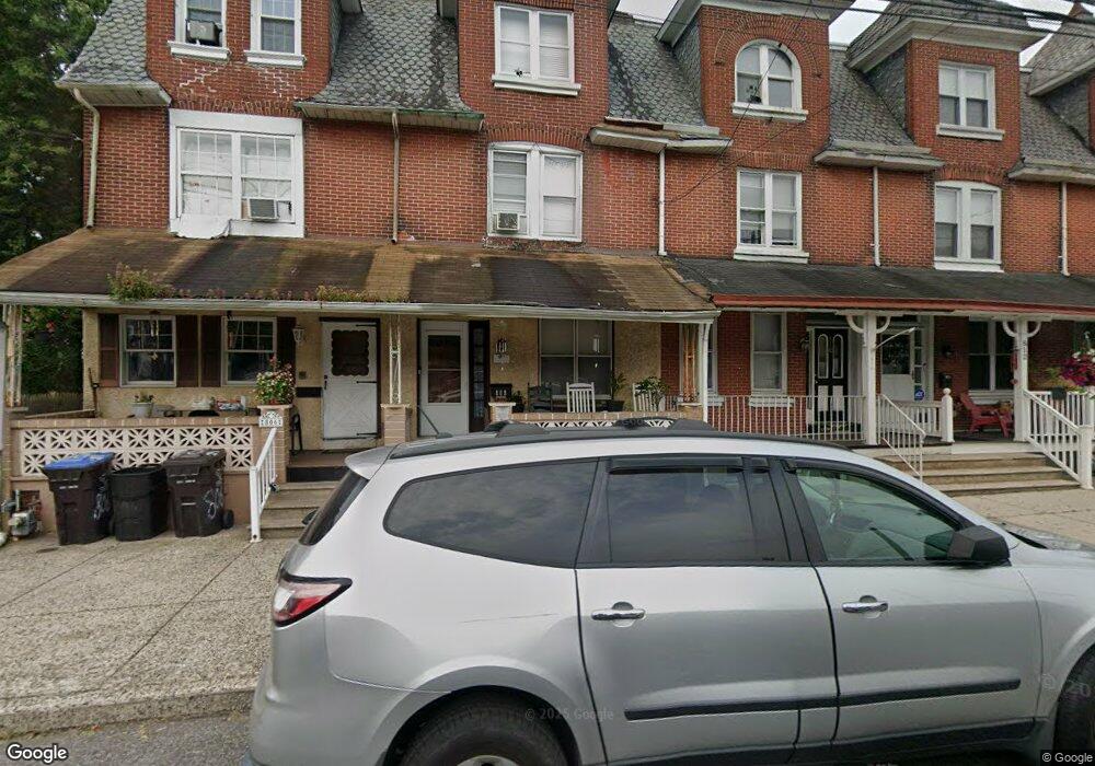
808 W Airy St Unit 5 Norristown, PA 19401
Estimated Value: $204,000 - $233,000
4
Beds
2
Baths
1,826
Sq Ft
$117/Sq Ft
Est. Value
About This Home
This home is located at 808 W Airy St Unit 5, Norristown, PA 19401 and is currently estimated at $213,782, approximately $117 per square foot. 808 W Airy St Unit 5 is a home located in Montgomery County with nearby schools including Charles Blockson Middle School, Davenport Elementary School, and East Norriton Middle School.
Ownership History
Date
Name
Owned For
Owner Type
Purchase Details
Closed on
Nov 19, 2013
Sold by
Campbell Donald P and Scollin Terence D
Bought by
Flores Maria Del Lourdes Lopez
Current Estimated Value
Purchase Details
Closed on
Apr 29, 2005
Sold by
Not Provided
Bought by
Not Provided
Purchase Details
Closed on
Mar 4, 2005
Sold by
Not Provided
Bought by
Not Provided
Purchase Details
Closed on
Oct 31, 1996
Sold by
Roding Joseph D and Roding Penelope L
Bought by
Swann Calvin L and Harris Swann Binca
Create a Home Valuation Report for This Property
The Home Valuation Report is an in-depth analysis detailing your home's value as well as a comparison with similar homes in the area
Home Values in the Area
Average Home Value in this Area
Purchase History
| Date | Buyer | Sale Price | Title Company |
|---|---|---|---|
| Flores Maria Del Lourdes Lopez | $55,000 | Germantown Title Co | |
| Not Provided | $62,001 | Germantown Title Co | |
| Not Provided | $1,709 | -- | |
| Swann Calvin L | $76,000 | -- |
Source: Public Records
Tax History Compared to Growth
Tax History
| Year | Tax Paid | Tax Assessment Tax Assessment Total Assessment is a certain percentage of the fair market value that is determined by local assessors to be the total taxable value of land and additions on the property. | Land | Improvement |
|---|---|---|---|---|
| 2025 | $4,271 | $69,590 | $15,030 | $54,560 |
| 2024 | $4,271 | $69,590 | $15,030 | $54,560 |
| 2023 | $4,233 | $69,590 | $15,030 | $54,560 |
| 2022 | $4,142 | $69,590 | $15,030 | $54,560 |
| 2021 | $4,122 | $69,590 | $15,030 | $54,560 |
| 2020 | $3,932 | $69,590 | $15,030 | $54,560 |
| 2019 | $3,860 | $69,590 | $15,030 | $54,560 |
| 2018 | $2,569 | $69,590 | $15,030 | $54,560 |
| 2017 | $3,545 | $69,590 | $15,030 | $54,560 |
| 2016 | $3,518 | $69,590 | $15,030 | $54,560 |
| 2015 | $3,370 | $69,590 | $15,030 | $54,560 |
| 2014 | $3,370 | $69,590 | $15,030 | $54,560 |
Source: Public Records
Map
Nearby Homes
- 924 W Main St
- 558 Stanbridge St
- 557 Haws Ave
- 1009 W Main St
- 1014 W Main St
- 201 Chain St Unit 28
- 1022 W Lafayette St
- 905 W Marshall St
- 1016 Thomas Barone St
- 13 Stanbridge St
- 19 Roberts Alley
- 243 Buttonwood St
- 648 Stanbridge St
- 654 Stanbridge St
- 701 Haws Ave
- 632 Chain St
- 564 Hamilton St
- 0 Astor St
- 134 W Main St
- 732 Stanbridge St
- 806 W Airy St
- 810 W Airy St Unit 6
- 812 W Airy St
- 814 W Airy St
- 309 Haws Ave Unit 3
- 307 Haws Ave Unit 1
- 811 W Main St Unit 6
- 811 W Main St Unit 4
- 811 W Main St
- 813 W Main St
- 807 W Main St
- 805 W Main St Unit 22
- 819 W Main St
- 801 W Main St
- 823 W Main St
- 312 Stanbridge St
- 310 Stanbridge St
- 502 Stanbridge St
- 500 Stanbridge St
- 308 Stanbridge St