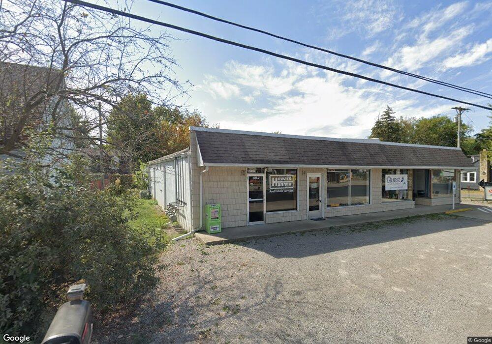
8081 State Route 366 Russells Point, OH 43348
Estimated Value: $255,765
--
Bed
1
Bath
7,425
Sq Ft
$34/Sq Ft
Est. Value
About This Home
This home is located at 8081 State Route 366, Russells Point, OH 43348 and is currently estimated at $255,765, approximately $34 per square foot. 8081 State Route 366 is a home located in Logan County with nearby schools including Indian Lake Elementary School, Indian Lake Middle School, and Indian Lake High School.
Ownership History
Date
Name
Owned For
Owner Type
Purchase Details
Closed on
Jul 12, 2021
Sold by
Coleman Holdings Llc
Bought by
Boardwalk Rentals Llc
Current Estimated Value
Home Financials for this Owner
Home Financials are based on the most recent Mortgage that was taken out on this home.
Original Mortgage
$160,000
Outstanding Balance
$145,175
Interest Rate
2.9%
Mortgage Type
Future Advance Clause Open End Mortgage
Estimated Equity
$115,297
Purchase Details
Closed on
Apr 15, 2010
Bought by
Coleman Holdings Llc
Purchase Details
Closed on
Aug 10, 2009
Bought by
John Ii D Coleman
Purchase Details
Closed on
May 24, 1999
Bought by
Castle Burnes
Purchase Details
Closed on
May 27, 1998
Bought by
Castle Lois M
Create a Home Valuation Report for This Property
The Home Valuation Report is an in-depth analysis detailing your home's value as well as a comparison with similar homes in the area
Home Values in the Area
Average Home Value in this Area
Purchase History
| Date | Buyer | Sale Price | Title Company |
|---|---|---|---|
| Boardwalk Rentals Llc | $199,900 | None Available | |
| Coleman Holdings Llc | -- | -- | |
| John Ii D Coleman | $50,000 | -- | |
| Castle Burnes | -- | -- | |
| Castle Lois M | $70,000 | -- |
Source: Public Records
Mortgage History
| Date | Status | Borrower | Loan Amount |
|---|---|---|---|
| Open | Boardwalk Rentals Llc | $160,000 |
Source: Public Records
Tax History Compared to Growth
Tax History
| Year | Tax Paid | Tax Assessment Tax Assessment Total Assessment is a certain percentage of the fair market value that is determined by local assessors to be the total taxable value of land and additions on the property. | Land | Improvement |
|---|---|---|---|---|
| 2024 | $3,787 | $72,380 | $11,320 | $61,060 |
| 2023 | $3,787 | $72,380 | $11,320 | $61,060 |
| 2022 | $4,012 | $65,800 | $10,290 | $55,510 |
| 2021 | $3,703 | $38,050 | $10,290 | $27,760 |
| 2020 | $2,191 | $38,060 | $10,290 | $27,770 |
| 2019 | $2,198 | $38,060 | $10,290 | $27,770 |
| 2018 | $2,131 | $38,060 | $10,290 | $27,770 |
| 2016 | $2,019 | $38,060 | $10,290 | $27,770 |
| 2014 | $1,554 | $38,060 | $10,290 | $27,770 |
| 2013 | $1,618 | $38,060 | $10,290 | $27,770 |
| 2012 | $1,640 | $38,070 | $10,310 | $27,760 |
Source: Public Records
Map
Nearby Homes
- 8312 Ohio 366 Unit 25
- 8312 Ohio 366 Unit 26
- 7490 Sir Francis Drake Ave
- 8128 Midway Dr
- 7932 Anne Bonny Ct Unit 13C
- 7062 Clark Dr
- 7109 Hancock Dr
- 7063 Clark Dr
- 7535 Township Road 269
- 7889 Park Dr
- 7917 Hickory Ave
- 7933 Hickory Ave
- 7842 Hickory Ave
- 7655 Kooteney St
- 7225 Ohio 368
- 0 Maple Unit 1040900
- 0 Crystal Beach Island Unit 225020350
- 0 Edgewater Ave
- 0 Towpath Unit 1039398
- 8844 Chautauqua Blvd
- 8067 State Route 366
- 7437 Franklin Dr Unit SIR
- 7455 Franklin Dr Unit SIR
- 7467 Franklin Dr Unit SIR
- 7273 Franklin Dr
- 8067 Ohio 366
- 8119 State Route
- 8119 State Route 366
- 7255 Miami Dr
- 8119 Ohio 366
- 8121 State Route
- 8121 State Route 366
- 8121 Ohio 366
- 7266 Franklin Dr
- 8080 State Route 366
- 8080 Ohio 366
- 8080 St Route
- 7240 Franklin Dr
- 7240 Franklin Dr
- 8127 State Route