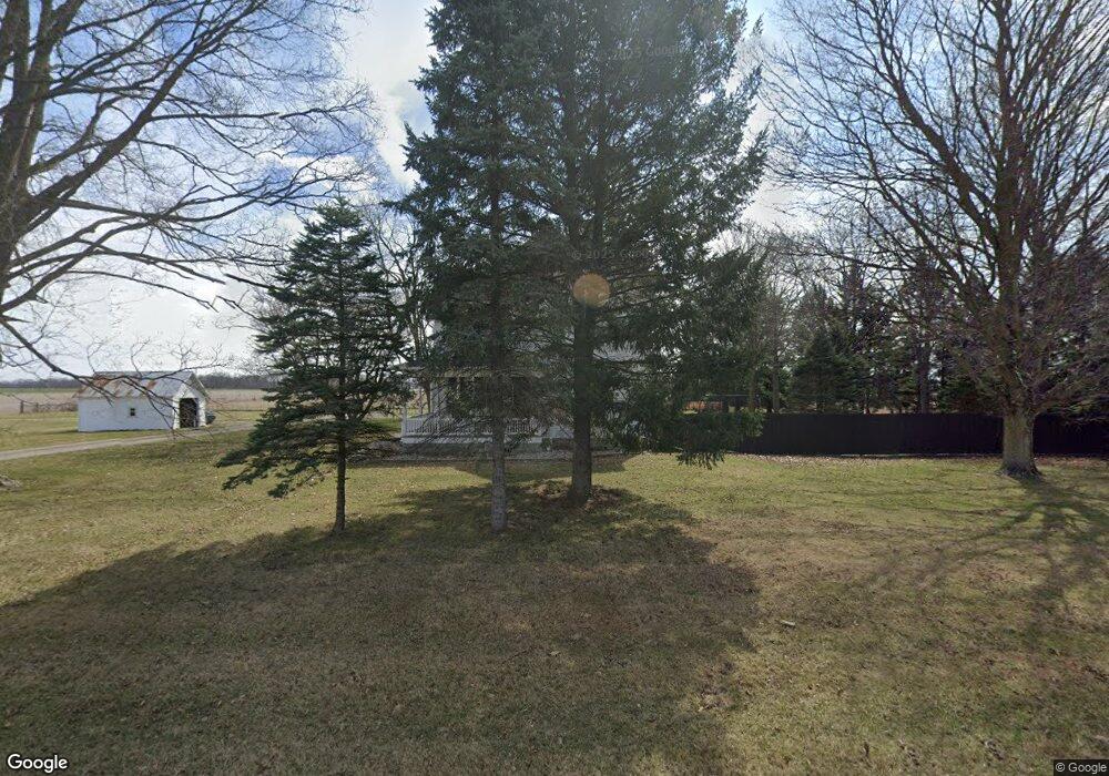
8083 U S 224 Findlay, OH 45840
Estimated Value: $398,000 - $486,000
4
Beds
3
Baths
2,817
Sq Ft
$160/Sq Ft
Est. Value
About This Home
This home is located at 8083 U S 224, Findlay, OH 45840 and is currently estimated at $450,870, approximately $160 per square foot. 8083 U S 224 is a home located in Hancock County with nearby schools including Liberty-Benton Elementary School, Liberty-Benton Middle School, and Liberty-Benton High School.
Ownership History
Date
Name
Owned For
Owner Type
Purchase Details
Closed on
Nov 13, 2017
Sold by
Siebenecek Kenneth H and Siebenecek Janice L
Bought by
Griffth Wesley R and Griffth Deanna L
Current Estimated Value
Home Financials for this Owner
Home Financials are based on the most recent Mortgage that was taken out on this home.
Original Mortgage
$241,300
Outstanding Balance
$202,198
Interest Rate
3.85%
Mortgage Type
New Conventional
Estimated Equity
$248,672
Purchase Details
Closed on
May 5, 1986
Bought by
Siebeneck Kenneth and Siebeneck Janice
Purchase Details
Closed on
May 22, 1981
Bought by
Ametrano Joan M and Bowling David H
Create a Home Valuation Report for This Property
The Home Valuation Report is an in-depth analysis detailing your home's value as well as a comparison with similar homes in the area
Home Values in the Area
Average Home Value in this Area
Purchase History
| Date | Buyer | Sale Price | Title Company |
|---|---|---|---|
| Griffth Wesley R | $254,000 | None Available | |
| Siebeneck Kenneth | $75,000 | -- | |
| Ametrano Joan M | -- | -- |
Source: Public Records
Mortgage History
| Date | Status | Borrower | Loan Amount |
|---|---|---|---|
| Open | Griffth Wesley R | $241,300 |
Source: Public Records
Tax History Compared to Growth
Tax History
| Year | Tax Paid | Tax Assessment Tax Assessment Total Assessment is a certain percentage of the fair market value that is determined by local assessors to be the total taxable value of land and additions on the property. | Land | Improvement |
|---|---|---|---|---|
| 2024 | $3,122 | $83,810 | $16,950 | $66,860 |
| 2023 | $3,048 | $83,810 | $16,950 | $66,860 |
| 2022 | $3,019 | $83,810 | $16,950 | $66,860 |
| 2021 | $2,240 | $54,850 | $15,590 | $39,260 |
| 2020 | $2,259 | $54,850 | $15,590 | $39,260 |
| 2019 | $2,168 | $54,850 | $15,590 | $39,260 |
| 2018 | $1,748 | $48,790 | $12,990 | $35,800 |
| 2017 | $901 | $48,790 | $12,990 | $35,800 |
| 2016 | $1,757 | $48,790 | $12,990 | $35,800 |
| 2015 | $2,447 | $66,630 | $12,990 | $53,640 |
| 2014 | $2,469 | $66,630 | $12,990 | $53,640 |
| 2012 | $2,375 | $61,330 | $12,990 | $48,340 |
Source: Public Records
Map
Nearby Homes
- 7780 Township Road 89
- 8922 Township Road 94
- 9960 W Us Route 224
- 0 County Road 140
- 9307 W State Route 12
- 0 County Road 95 Unit 6097574
- 8179 Hazelwood Dr
- 8256 Silverwood Dr
- 2201 W Main Cross St
- 9220 Colonel Dr
- 9307 Hiegel Dr
- 6535 Silver Lake Dr
- 9653 Early Dr
- 0 County Road 223
- 2014 W Sandusky St
- 425 Nevada Ln
- 0 Rock Candy Rd Unit Lot 159
- 0 Rock Candy Rd Unit Lot 170
- 0 Rock Candy Rd Unit Lot 172 206819
- 0 Rock Candy Rd Unit Lot 162
- 8083 W Us Route 224
- 8050 W Us Route 224
- 8050 State Route 224
- 7478 Township Road 136
- 7407 Township Road 136
- 7426 Township Road 136
- 7416 Township Road 136
- 7396 Township Road 136
- 7396 Township Road 136
- 7943 Driftwood Dr
- 7921 W Us Route 224
- 7940 State Route 224
- 7940 W Us Route 224
- 7940 W Us Route 224
- 7923 Driftwood Dr
- 7906 W Us Route 224
- 7942 Driftwood Dr
- 7905 Driftwood Dr
- 7892 W Us Route 224
- 7924 Driftwood Dr