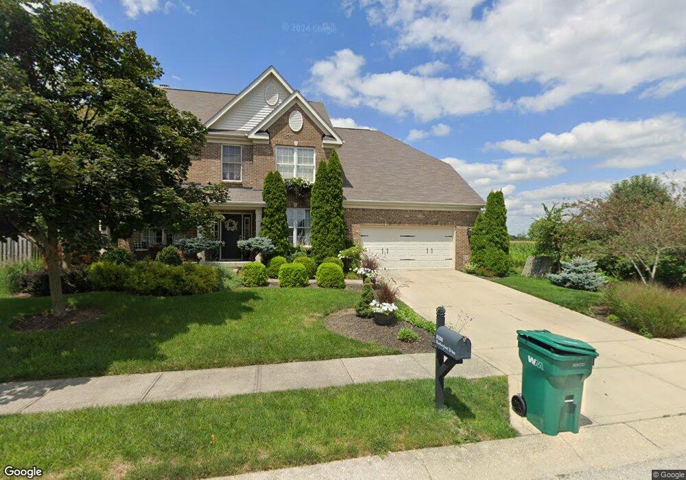
8088 Rutherford Dr Brownsburg, IN 46112
Estimated Value: $471,000 - $503,000
4
Beds
4
Baths
3,774
Sq Ft
$129/Sq Ft
Est. Value
About This Home
This home is located at 8088 Rutherford Dr, Brownsburg, IN 46112 and is currently estimated at $486,679, approximately $128 per square foot. 8088 Rutherford Dr is a home located in Hendricks County with nearby schools including Cardinal Elementary School, Brownsburg West Middle School, and Brownsburg High School.
Ownership History
Date
Name
Owned For
Owner Type
Purchase Details
Closed on
Oct 21, 2011
Sold by
Lasley Aaron K and Lasley Maggie M
Bought by
Trimble John P and Trimble Kelli S
Current Estimated Value
Home Financials for this Owner
Home Financials are based on the most recent Mortgage that was taken out on this home.
Original Mortgage
$53,000
Outstanding Balance
$33,485
Interest Rate
3%
Mortgage Type
New Conventional
Estimated Equity
$453,194
Purchase Details
Closed on
Aug 24, 2007
Sold by
Estridge Group Inc
Bought by
Lasley Aaron K and Lasley Maggie M
Home Financials for this Owner
Home Financials are based on the most recent Mortgage that was taken out on this home.
Original Mortgage
$292,650
Interest Rate
6.87%
Mortgage Type
Adjustable Rate Mortgage/ARM
Purchase Details
Closed on
Jul 19, 2006
Sold by
Highland Springs Associates Llc
Bought by
Estridge Group Inc
Create a Home Valuation Report for This Property
The Home Valuation Report is an in-depth analysis detailing your home's value as well as a comparison with similar homes in the area
Home Values in the Area
Average Home Value in this Area
Purchase History
We collect this data history from publicly available records. To have your information removed, we recommend requesting removal directly through your county’s website.
| Date | Buyer | Sale Price | Title Company |
|---|---|---|---|
| Trimble John P | -- | None Available | |
| Lasley Aaron K | -- | None Available | |
| Estridge Group Inc | -- | None Available |
Source: Public Records
Mortgage History
We collect this data history from publicly available records. To have your information removed, we recommend requesting removal directly through your county’s website.
| Date | Status | Borrower | Loan Amount |
|---|---|---|---|
| Open | Trimble John P | $53,000 | |
| Previous Owner | Lasley Aaron K | $292,650 |
Source: Public Records
Tax History
| Year | Tax Paid | Tax Assessment Tax Assessment Total Assessment is a certain percentage of the fair market value that is determined by local assessors to be the total taxable value of land and additions on the property. | Land | Improvement |
|---|---|---|---|---|
| 2025 | $4,546 | $484,600 | $58,800 | $425,800 |
| 2024 | $4,774 | $477,400 | $58,800 | $418,600 |
| 2023 | $4,383 | $438,300 | $53,200 | $385,100 |
| 2022 | $4,012 | $401,200 | $53,200 | $348,000 |
| 2021 | $3,531 | $353,100 | $50,200 | $302,900 |
| 2020 | $3,372 | $337,200 | $50,200 | $287,000 |
| 2019 | $3,222 | $322,200 | $47,200 | $275,000 |
| 2018 | $3,099 | $309,900 | $47,200 | $262,700 |
| 2017 | $2,921 | $292,100 | $44,600 | $247,500 |
| 2016 | $2,850 | $285,000 | $44,600 | $240,400 |
| 2014 | $2,764 | $276,400 | $42,900 | $233,500 |
Source: Public Records
Map
Nearby Homes
- 8465 Abernethy Ln
- 6311 Point Reyes Ct
- 10936 Pebblestone Way
- 5002 Bergamot Dr
- 6936 Sonora Blvd
- 6948 Sablecliff Way
- 6796 Highland Way
- 6773 Highland Way
- 7820 Highland Park Dr
- 6736 Sonora Blvd
- 6093 Brentwood Trace
- 6027 Brentwood Trace
- 8049 N State Road 267
- 7556 Hickory St
- 7840 Jennifer Ln
- 7282 Barrett Dr
- 328 Brooks Bend
- 7089 Symphony Dr
- 7079 Barrett Dr
- 10 Springview Ct
Your Personal Tour Guide
Ask me questions while you tour the home.