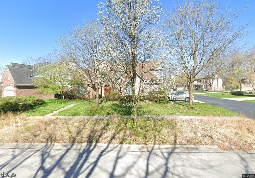
809 Brookside Dr Unit 2 Ann Arbor, MI 48105
Northern Ann Arbor NeighborhoodEstimated Value: $647,655 - $688,000
4
Beds
4
Baths
2,417
Sq Ft
$277/Sq Ft
Est. Value
About This Home
This home is located at 809 Brookside Dr Unit 2, Ann Arbor, MI 48105 and is currently estimated at $668,664, approximately $276 per square foot. 809 Brookside Dr Unit 2 is a home located in Washtenaw County with nearby schools including Ann Arbor STEAM at Northside, Clague Middle School, and Skyline High School.
Ownership History
Date
Name
Owned For
Owner Type
Purchase Details
Closed on
Jun 22, 2011
Sold by
Kafi Joseph and Kafi Fay
Bought by
Dayalu Praveen and Bettcher Catherine M
Current Estimated Value
Home Financials for this Owner
Home Financials are based on the most recent Mortgage that was taken out on this home.
Original Mortgage
$280,000
Interest Rate
4.56%
Mortgage Type
New Conventional
Purchase Details
Closed on
Jun 30, 2005
Sold by
Reynolds Christopher Mosdale
Bought by
Kafi Joseph and Kafi Fay
Home Financials for this Owner
Home Financials are based on the most recent Mortgage that was taken out on this home.
Original Mortgage
$250,000
Interest Rate
5.87%
Mortgage Type
Fannie Mae Freddie Mac
Create a Home Valuation Report for This Property
The Home Valuation Report is an in-depth analysis detailing your home's value as well as a comparison with similar homes in the area
Home Values in the Area
Average Home Value in this Area
Purchase History
| Date | Buyer | Sale Price | Title Company |
|---|---|---|---|
| Dayalu Praveen | $420,000 | American Title Company Of Wa | |
| Kafi Joseph | $395,000 | -- |
Source: Public Records
Mortgage History
| Date | Status | Borrower | Loan Amount |
|---|---|---|---|
| Closed | Dayalu Praveen | $280,000 | |
| Previous Owner | Kafi Joseph | $250,000 |
Source: Public Records
Tax History
| Year | Tax Paid | Tax Assessment Tax Assessment Total Assessment is a certain percentage of the fair market value that is determined by local assessors to be the total taxable value of land and additions on the property. | Land | Improvement |
|---|---|---|---|---|
| 2025 | $11,237 | $330,700 | $0 | $0 |
| 2024 | $11,769 | $318,200 | $0 | $0 |
| 2023 | $11,769 | $306,700 | $0 | $0 |
| 2022 | $9,423 | $284,200 | $0 | $0 |
| 2021 | $16,866 | $279,100 | $0 | $0 |
| 2020 | $10,369 | $253,800 | $0 | $0 |
| 2019 | $9,869 | $238,400 | $238,400 | $0 |
| 2018 | $9,730 | $225,700 | $0 | $0 |
| 2017 | $9,465 | $220,700 | $0 | $0 |
| 2016 | $9,131 | $189,261 | $0 | $0 |
| 2015 | $8,696 | $188,695 | $0 | $0 |
| 2014 | $8,696 | $182,800 | $0 | $0 |
| 2013 | -- | $182,800 | $0 | $0 |
Source: Public Records
Map
Nearby Homes
- 502 Larkspur St
- 352 Manor Dr
- 374 Hilldale Dr
- 1713 Pontiac Trail
- 1621 Peach St
- 2757 Polson St
- 704 Amherst Ave
- 2793 Bristol Ridge Dr Unit 45
- 2783 Bristol Ridge Dr Unit 40
- 2778 Bristol Ridge Dr Unit 38
- 2776 Bristol Ridge Dr Unit 37
- 2772 Bristol Ridge Dr Unit 35
- 2774 Bristol Ridge Dr Unit 36
- 2887 Dillon Dr
- 2981 Havre St
- 2768 S Knightsbridge Cir
- 2738 S Knightsbridge Cir
- 2994 Montana Way
- 2678 S Knightsbridge Cir Unit 24
- 1858 Upland Dr
- 801 Brookside Dr Unit 1
- 833 Brookside Dr
- 817 Brookside Dr
- 816 Brookside Dr
- 841 Brookside Dr Unit 6
- 806 Brookside Dr
- 729 Brookside Dr
- 2141 Pontiac Trail
- 849 Brookside Dr
- 2157 Pontiac Trail
- 836 Brookside Dr
- 719 Brookside Dr
- 2055 Pontiac Trail
- 865 Brookside Dr Unit 9
- 648 Manor Dr
- 665 Manor Dr
- 857 Brookside Dr
- 866 Brookside Dr Unit 30
- 2110 Delafield Dr
- 2018 Pontiac Trail
Your Personal Tour Guide
Ask me questions while you tour the home.