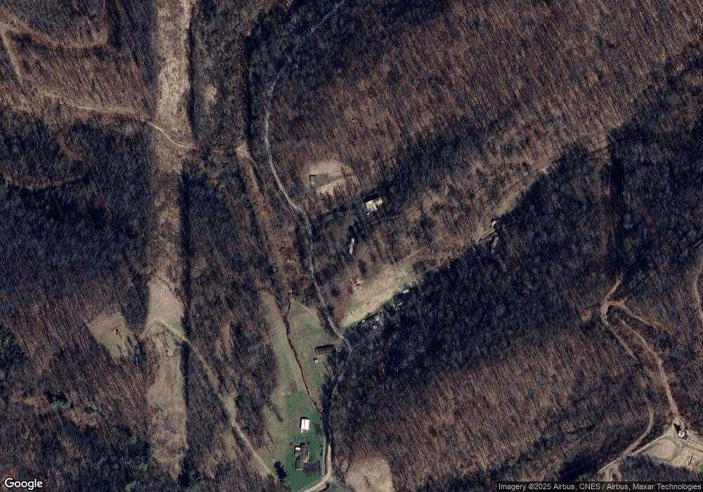
809 Hawks Nest Rd Mannington, WV 26582
Estimated Value: $110,000 - $278,000
2
Beds
2
Baths
1,728
Sq Ft
$107/Sq Ft
Est. Value
About This Home
This home is located at 809 Hawks Nest Rd, Mannington, WV 26582 and is currently estimated at $184,819, approximately $106 per square foot. 809 Hawks Nest Rd is a home located in Marion County with nearby schools including Blackshere Elementary School, Mannington Middle School, and North Marion High School.
Ownership History
Date
Name
Owned For
Owner Type
Purchase Details
Closed on
Apr 24, 2023
Sold by
Ham David H
Bought by
Jones Joyce A and Jones Tyler A
Current Estimated Value
Purchase Details
Closed on
Feb 22, 2023
Sold by
Galloway Katherine E
Bought by
Golenda Daniel
Purchase Details
Closed on
Mar 23, 2005
Sold by
Carpenter James and Carpenter Barbara
Bought by
Payne Kenneth C
Create a Home Valuation Report for This Property
The Home Valuation Report is an in-depth analysis detailing your home's value as well as a comparison with similar homes in the area
Home Values in the Area
Average Home Value in this Area
Purchase History
| Date | Buyer | Sale Price | Title Company |
|---|---|---|---|
| Jones Joyce A | -- | None Listed On Document | |
| Golenda Daniel | $125,000 | -- | |
| Golenda Daniel | $125,000 | None Listed On Document | |
| Payne Kenneth C | $71,000 | -- |
Source: Public Records
Tax History Compared to Growth
Tax History
| Year | Tax Paid | Tax Assessment Tax Assessment Total Assessment is a certain percentage of the fair market value that is determined by local assessors to be the total taxable value of land and additions on the property. | Land | Improvement |
|---|---|---|---|---|
| 2024 | $1,594 | $125,220 | $22,020 | $103,200 |
| 2023 | $1,540 | $120,780 | $22,020 | $98,760 |
| 2022 | $1,442 | $116,460 | $22,020 | $94,440 |
| 2021 | $1,543 | $126,240 | $24,600 | $101,640 |
| 2020 | $1,501 | $122,160 | $25,440 | $96,720 |
| 2019 | $1,182 | $114,480 | $26,760 | $87,720 |
| 2018 | $1,070 | $106,200 | $26,700 | $79,500 |
| 2017 | $1,258 | $102,420 | $24,360 | $78,060 |
| 2016 | $1,220 | $99,660 | $24,360 | $75,300 |
| 2015 | $870 | $96,360 | $24,360 | $72,000 |
| 2014 | $870 | $90,420 | $19,440 | $70,980 |
Source: Public Records
Map
Nearby Homes
- 745 Odells Knob Rd
- 643 Festus Ridge Rd
- 2561 Whetstone
- Tbd Long Run Rd
- 763 Whetstone Rd
- 4 4 States Rd
- Lot 2 E Run Cir
- 31 Sanctuary Way
- 342 Saltlick Rd
- 5007 Freedom Hwy
- 14 Canary St
- 131 Hill View Terrace
- 326 Joes Run Rd
- 822 Hood Ave
- 90 W Enterprise Rd
- 85 Charles St
- 0 Windy Hill Dr
- 73 Mulberry Ave
- 426 Vernon St
- 704 S Stewart St
- 852 Hawks Nest
- 890 Hawks Nest Rd
- 601 Hawks Nest Rd
- 677 Hawks Nest Rd
- 452 Hawks Nest Rd
- 23 Walnut Tree Dr
- 169 Lost Way
- 50 Tiny Bear Ln
- 839 Wyatt Rd
- 977 Wyatt Rd
- 18 Walnut Tree Dr
- 863 Wyatt Rd
- 1834 Wyatt Mannington Rd
- 1886 Wyatt Mannington Rd
- 903 Wyatt Rd
- 810 Wyatt Rd
- 60 Lost Way
- 860 Wyatt Mannington Rd
- 920 Wyatt Rd
- 916 Wyatt Rd
