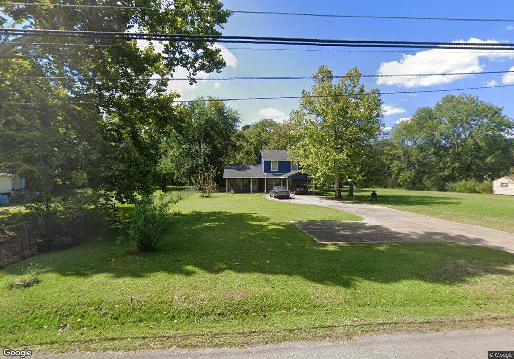
809 Lubbock St Lufkin, TX 75901
Estimated Value: $164,038 - $240,000
Studio
10
Baths
1,636
Sq Ft
$123/Sq Ft
Est. Value
About This Home
This home is located at 809 Lubbock St, Lufkin, TX 75901 and is currently estimated at $200,510, approximately $122 per square foot. 809 Lubbock St is a home located in Angelina County with nearby schools including Kurth Primary School, Anderson Elementary School, and Lufkin Middle School.
Ownership History
Date
Name
Owned For
Owner Type
Purchase Details
Closed on
Jun 22, 2021
Sold by
Taylor Kenard and Taylor Betty
Bought by
Taylor Kenard
Current Estimated Value
Home Financials for this Owner
Home Financials are based on the most recent Mortgage that was taken out on this home.
Original Mortgage
$55,000
Interest Rate
2.2%
Mortgage Type
Stand Alone First
Purchase Details
Closed on
May 23, 2018
Sold by
Taylor Samuel L and Taylor Kenard R
Bought by
Taylor Kenneth Ray
Create a Home Valuation Report for This Property
The Home Valuation Report is an in-depth analysis detailing your home's value as well as a comparison with similar homes in the area
Purchase History
| Date | Buyer | Sale Price | Title Company |
|---|---|---|---|
| Taylor Kenard | -- | None Available | |
| Taylor Kenneth Ray | -- | None Available |
Source: Public Records
Mortgage History
| Date | Status | Borrower | Loan Amount |
|---|---|---|---|
| Closed | Taylor Kenard | $55,000 |
Source: Public Records
Tax History
| Year | Tax Paid | Tax Assessment Tax Assessment Total Assessment is a certain percentage of the fair market value that is determined by local assessors to be the total taxable value of land and additions on the property. | Land | Improvement |
|---|---|---|---|---|
| 2025 | $2,709 | $129,640 | $17,540 | $112,100 |
| 2024 | $2,657 | $127,120 | $17,540 | $109,580 |
| 2023 | $2,521 | $126,860 | $17,540 | $109,320 |
| 2022 | $2,833 | $124,360 | $8,900 | $115,460 |
| 2021 | $3,044 | $123,560 | $3,390 | $120,170 |
| 2020 | $2,822 | $114,850 | $3,390 | $111,460 |
| 2019 | $3,022 | $116,280 | $3,390 | $112,890 |
| 2018 | $2,746 | $113,900 | $3,390 | $110,510 |
| 2017 | $2,746 | $115,170 | $3,390 | $111,780 |
| 2016 | $2,669 | $111,940 | $3,390 | $108,550 |
| 2015 | -- | $123,840 | $3,390 | $120,450 |
| 2014 | -- | $107,430 | $3,390 | $104,040 |
Source: Public Records
Map
Nearby Homes
- 1911 Paul Ave
- 2000 Paul Ave
- 1618 Paul Ave
- 111 Hemlock Rd
- 2105 Paul Ave
- 2122 Paul Ave
- 416 Robin St
- 1914 Pineburr St
- 816 Circle Dr
- 2401 Paul Ave
- 801 Shermell St
- 1009 Atkinson Dr
- 38986 Pecan St
- 115 Ward St
- Tract 48 Shady Pine St
- Tract 50 Shady Pine St
- Tract 49 Shady Pine St
- 1603 Atkinson Dr
- 0 N Highway 69
- 2549 N Highway 69
- 805 Lubbock St
- 817 Lubbock St
- 803 Lubbock St
- 808 Miller St
- 813 Lubbock St
- 804 Miller St
- 1905 Sunrise Ave
- 812 Miller St
- 0 Miller St
- 803 Miller St
- 1811 Sunrise Ave
- 814 Miller St
- 1918 Paul Ave
- 1920 Paul Ave
- 1809 Sunrise Ave
- 1818 Sunrise Ave
- 709 Lubbock St
- 1814 Sunrise Ave Unit 1820
- 1901 Paul Ave
- 1917 Paul Ave
Your Personal Tour Guide
Ask me questions while you tour the home.