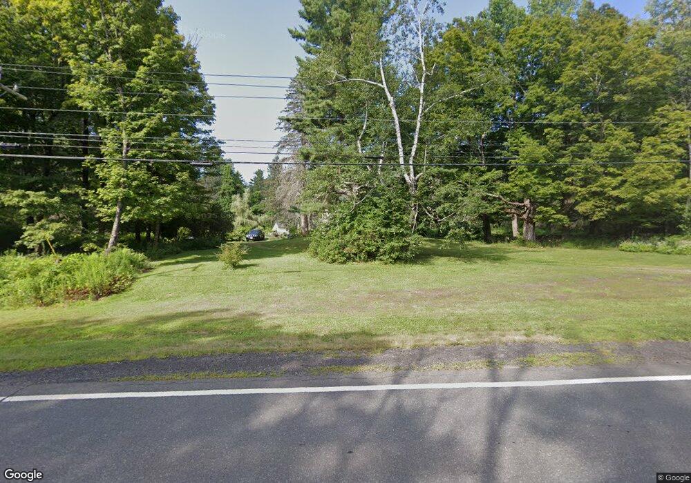
809 Main St Becket, MA 01223
Estimated Value: $379,426 - $480,000
3
Beds
2
Baths
1,392
Sq Ft
$317/Sq Ft
Est. Value
About This Home
This home is located at 809 Main St, Becket, MA 01223 and is currently estimated at $441,357, approximately $317 per square foot. 809 Main St is a home located in Berkshire County with nearby schools including Wahconah Regional High School.
Ownership History
Date
Name
Owned For
Owner Type
Purchase Details
Closed on
Aug 22, 2008
Sold by
Rinaldi Christine A and Rinaldi John J
Bought by
Snyder George R and Snyder Sandra L
Current Estimated Value
Purchase Details
Closed on
Dec 3, 2004
Sold by
Rinaldi Anthony J and Rinaldi Dorothy T
Bought by
Rinaldi Christine A and Rinaldi John J
Home Financials for this Owner
Home Financials are based on the most recent Mortgage that was taken out on this home.
Original Mortgage
$50,000
Interest Rate
5.69%
Mortgage Type
Purchase Money Mortgage
Create a Home Valuation Report for This Property
The Home Valuation Report is an in-depth analysis detailing your home's value as well as a comparison with similar homes in the area
Home Values in the Area
Average Home Value in this Area
Purchase History
| Date | Buyer | Sale Price | Title Company |
|---|---|---|---|
| Snyder George R | $15,000 | -- | |
| Snyder George R | $15,000 | -- | |
| Rinaldi Christine A | $35,000 | -- | |
| Rinaldi Christine A | $35,000 | -- |
Source: Public Records
Mortgage History
| Date | Status | Borrower | Loan Amount |
|---|---|---|---|
| Open | Rinaldi Christine A | $10,000 | |
| Previous Owner | Rinaldi Christine A | $50,000 |
Source: Public Records
Tax History
| Year | Tax Paid | Tax Assessment Tax Assessment Total Assessment is a certain percentage of the fair market value that is determined by local assessors to be the total taxable value of land and additions on the property. | Land | Improvement |
|---|---|---|---|---|
| 2025 | $2,603 | $297,200 | $34,400 | $262,800 |
| 2024 | $2,731 | $279,500 | $33,300 | $246,200 |
| 2023 | $2,650 | $246,300 | $30,600 | $215,700 |
| 2022 | $1,966 | $186,200 | $33,300 | $152,900 |
| 2020 | $1,966 | $177,400 | $33,300 | $144,100 |
| 2019 | $1,924 | $173,800 | $33,300 | $140,500 |
| 2018 | $1,889 | $173,800 | $33,300 | $140,500 |
| 2017 | $1,832 | $173,800 | $33,300 | $140,500 |
| 2016 | $1,812 | $173,200 | $33,300 | $139,900 |
| 2015 | $1,810 | $173,200 | $33,300 | $139,900 |
| 2014 | $1,808 | $173,200 | $33,300 | $139,900 |
Source: Public Records
Map
Nearby Homes
- 55 Mallard Dr
- 106 E Shore Rd
- 554 Main St
- 0 Stoney Brook Rd Unit 245266
- Lot 26 Stoney Brook Rd
- 0 Gentian Hollow Rd
- 973 Fred Snow Rd
- 1 Wade Inn Rd
- 593 Woodmere Rd
- 455 King Richard Dr
- Lot 155 Chippewa Dr
- 0 Moberg Rd
- 859 Moberg Rd
- 0 Mountain Pasture Rd Unit 243661
- 0 Long Bow Ln E Unit 73445571
- LOT9 Benton Hill Rd
- LOT10 Benton Hill Rd
- 674 Benton Hill Rd
- 223 Silver Leaf Dr
- 376 Long Bow Ln W
Your Personal Tour Guide
Ask me questions while you tour the home.