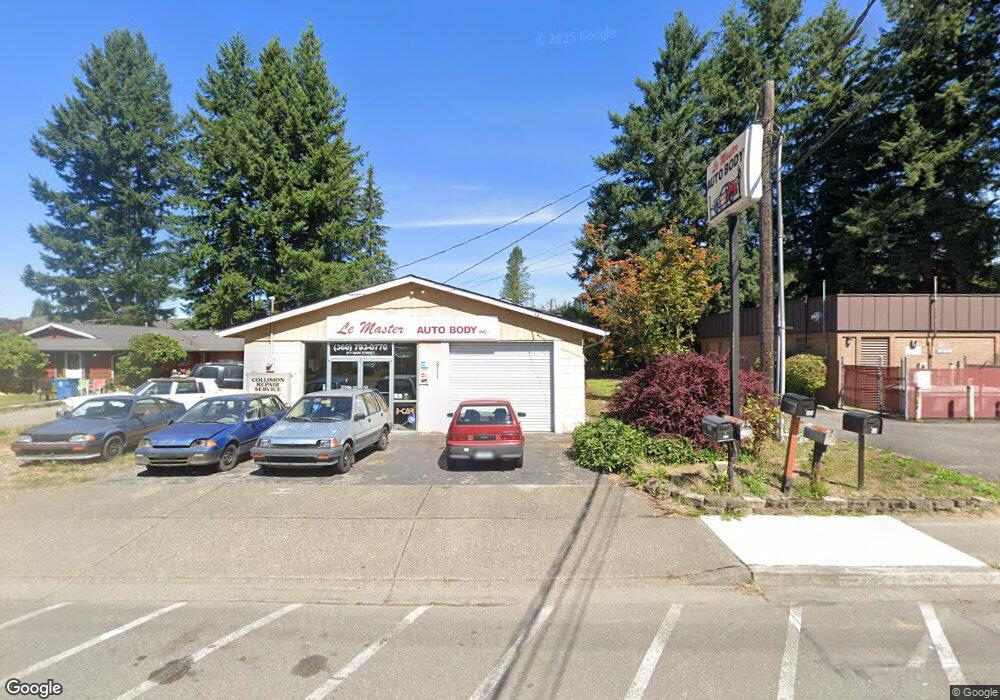
809 Main St Sultan, WA 98294
Estimated Value: $489,216 - $536,000
3
Beds
2
Baths
1,274
Sq Ft
$399/Sq Ft
Est. Value
About This Home
This home is located at 809 Main St, Sultan, WA 98294 and is currently estimated at $508,054, approximately $398 per square foot. 809 Main St is a home located in Snohomish County with nearby schools including Sultan Senior High School.
Ownership History
Date
Name
Owned For
Owner Type
Purchase Details
Closed on
Oct 2, 1999
Sold by
Brokofsky Janice I
Bought by
King Philip N and Blanscet Allison M
Current Estimated Value
Home Financials for this Owner
Home Financials are based on the most recent Mortgage that was taken out on this home.
Original Mortgage
$153,221
Outstanding Balance
$41,131
Interest Rate
7.76%
Mortgage Type
FHA
Estimated Equity
$466,923
Purchase Details
Closed on
Mar 9, 1998
Sold by
Lemaster Arlene
Bought by
Brokofsky Raymond and Brokofsky Janice I
Home Financials for this Owner
Home Financials are based on the most recent Mortgage that was taken out on this home.
Original Mortgage
$86,250
Interest Rate
7.02%
Create a Home Valuation Report for This Property
The Home Valuation Report is an in-depth analysis detailing your home's value as well as a comparison with similar homes in the area
Home Values in the Area
Average Home Value in this Area
Purchase History
| Date | Buyer | Sale Price | Title Company |
|---|---|---|---|
| King Philip N | $154,500 | -- | |
| Brokofsky Raymond | -- | -- |
Source: Public Records
Mortgage History
| Date | Status | Borrower | Loan Amount |
|---|---|---|---|
| Open | King Philip N | $153,221 | |
| Previous Owner | Brokofsky Raymond | $86,250 |
Source: Public Records
Tax History
| Year | Tax Paid | Tax Assessment Tax Assessment Total Assessment is a certain percentage of the fair market value that is determined by local assessors to be the total taxable value of land and additions on the property. | Land | Improvement |
|---|---|---|---|---|
| 2026 | $3,296 | $395,600 | $242,900 | $152,700 |
| 2025 | $3,038 | $368,600 | $215,900 | $152,700 |
| 2024 | $3,038 | $342,900 | $187,700 | $155,200 |
| 2023 | $2,400 | $306,600 | $164,400 | $142,200 |
| 2022 | $2,504 | $274,700 | $146,400 | $128,300 |
| 2020 | $2,507 | $250,100 | $140,200 | $109,900 |
| 2019 | $1,819 | $188,600 | $85,900 | $102,700 |
| 2018 | $2,534 | $212,700 | $112,700 | $100,000 |
| 2017 | $1,827 | $151,900 | $65,000 | $86,900 |
| 2016 | $1,821 | $148,100 | $65,000 | $83,100 |
| 2015 | $1,877 | $143,000 | $57,000 | $86,000 |
| 2013 | $2,085 | $154,500 | $78,500 | $76,000 |
Source: Public Records
Map
Nearby Homes
- 712 Alder St
- 307 8th St Unit 7
- 512 Walnut Ave
- 711 10th St
- 1122 Dyer Rd
- 204 Date Ave
- 111 Cedar Ave Unit 1
- 712 3rd St
- 924 Merea Ln
- 1105 Kessler Dr
- 1107 Loves Hill Dr
- 0 138th St SE
- 14055 Sultan Basin Rd
- 1304 10th St
- 32302 135th Place SE
- 32306 135th Place SE
- 13435 323rd Dr SE
- 1338 Cascade St
- 1326 11th St
- 13431 323rd Dr SE
Your Personal Tour Guide
Ask me questions while you tour the home.