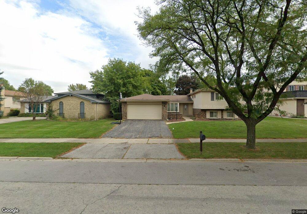
809 N Harrow Ct Addison, IL 60101
Estimated Value: $444,113 - $487,000
4
Beds
3
Baths
2,409
Sq Ft
$190/Sq Ft
Est. Value
About This Home
This home is located at 809 N Harrow Ct, Addison, IL 60101 and is currently estimated at $458,778, approximately $190 per square foot. 809 N Harrow Ct is a home located in DuPage County with nearby schools including Stone Elementary School, Indian Trail Jr High School, and Addison Trail High School.
Ownership History
Date
Name
Owned For
Owner Type
Purchase Details
Closed on
Dec 8, 2005
Sold by
Tunzi Dominic and Tunzi Margaret D
Bought by
Diorio Angelo and Diorio Patricia
Current Estimated Value
Home Financials for this Owner
Home Financials are based on the most recent Mortgage that was taken out on this home.
Original Mortgage
$277,000
Outstanding Balance
$156,727
Interest Rate
6.48%
Mortgage Type
Fannie Mae Freddie Mac
Estimated Equity
$302,051
Create a Home Valuation Report for This Property
The Home Valuation Report is an in-depth analysis detailing your home's value as well as a comparison with similar homes in the area
Home Values in the Area
Average Home Value in this Area
Purchase History
| Date | Buyer | Sale Price | Title Company |
|---|---|---|---|
| Diorio Angelo | $363,000 | Stewart Title Company |
Source: Public Records
Mortgage History
| Date | Status | Borrower | Loan Amount |
|---|---|---|---|
| Open | Diorio Angelo | $277,000 |
Source: Public Records
Tax History
| Year | Tax Paid | Tax Assessment Tax Assessment Total Assessment is a certain percentage of the fair market value that is determined by local assessors to be the total taxable value of land and additions on the property. | Land | Improvement |
|---|---|---|---|---|
| 2024 | $8,763 | $132,980 | $38,491 | $94,489 |
| 2023 | $8,319 | $121,610 | $35,200 | $86,410 |
| 2022 | $8,142 | $116,450 | $34,980 | $81,470 |
| 2021 | $7,737 | $110,640 | $33,230 | $77,410 |
| 2020 | $7,667 | $107,940 | $32,420 | $75,520 |
| 2019 | $7,635 | $103,720 | $31,150 | $72,570 |
| 2018 | $7,276 | $95,310 | $28,620 | $66,690 |
| 2017 | $6,870 | $88,340 | $26,530 | $61,810 |
| 2016 | $6,686 | $81,750 | $24,550 | $57,200 |
| 2015 | $6,592 | $76,290 | $22,910 | $53,380 |
| 2014 | $6,173 | $71,310 | $22,070 | $49,240 |
| 2013 | $6,138 | $73,740 | $22,820 | $50,920 |
Source: Public Records
Map
Nearby Homes
- 823 N Harrow Ct
- 1770 W Windmill Ct
- 865 N Tamarac Blvd
- 940 N Rohlwing Rd Unit 201A
- 953 N Rohlwing Rd Unit GB
- 1651 W Goldengate Dr
- 881 N Swift Rd Unit 206
- 941 N Swift Rd Unit 302
- 551 N Plamondon Dr
- 1354 W Byron Ave Unit D
- 20W561 Army Trail Blvd
- 3N662 Elizabeth St
- 1306 W Byron Ave
- 1210 N Foxdale Dr Unit 109
- 1200 N Foxdale Dr Unit 205
- 1200 N Foxdale Dr Unit 100
- 1259 W Lake St Unit 203
- 5N210 Central Rd
- 19W720 Woodland Ave
- 1113 N Itasca Rd
- 805 N Harrow Ct
- 811 N Harrow Ct
- 1824 Kings Point Dr S
- 815 N Harrow Ct
- 814 N Rumple Ln
- 1840 Kings Point Dr S
- 808 N Harrow Ct
- 810 N Rumple Ln
- 1820 Kings Point Dr S
- 812 N Harrow Ct
- 819 N Harrow Ct
- 1829 Kings Point Dr S
- 816 N Harrow Ct
- 816 N Harrow Ct
- 1833 Kings Point Dr S
- 1825 Kings Point Dr S
- 1837 Kings Point Dr S
- 1844 Kings Point Dr S
- 820 N Harrow Ct
- 1841 Kings Point Dr S
Your Personal Tour Guide
Ask me questions while you tour the home.