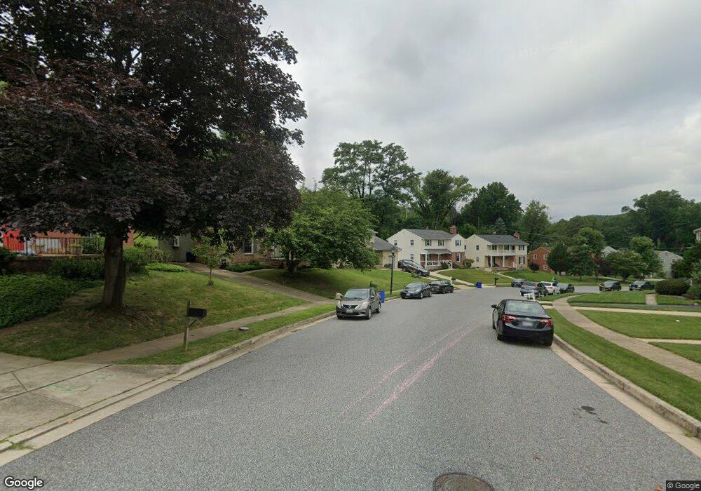
809 Ramshead Cir Cockeysville, MD 21030
Estimated Value: $479,000 - $529,657
--
Bed
3
Baths
1,735
Sq Ft
$290/Sq Ft
Est. Value
About This Home
This home is located at 809 Ramshead Cir, Cockeysville, MD 21030 and is currently estimated at $502,664, approximately $289 per square foot. 809 Ramshead Cir is a home located in Baltimore County with nearby schools including Warren Elementary School, Cockeysville Middle School, and Dulaney High School.
Ownership History
Date
Name
Owned For
Owner Type
Purchase Details
Closed on
Mar 28, 2007
Sold by
Atkinson Mark P
Bought by
Hack Andrew I and Hack Jennifer M
Current Estimated Value
Home Financials for this Owner
Home Financials are based on the most recent Mortgage that was taken out on this home.
Original Mortgage
$73,000
Outstanding Balance
$44,741
Interest Rate
6.4%
Mortgage Type
Stand Alone Second
Estimated Equity
$457,923
Purchase Details
Closed on
Mar 5, 2007
Sold by
Atkinson Mark P
Bought by
Hack Andrew I and Hack Jennifer M
Home Financials for this Owner
Home Financials are based on the most recent Mortgage that was taken out on this home.
Original Mortgage
$73,000
Outstanding Balance
$44,741
Interest Rate
6.4%
Mortgage Type
Stand Alone Second
Estimated Equity
$457,923
Purchase Details
Closed on
Jun 23, 1990
Sold by
Paciarelli Eugene J
Bought by
Atkinson Mark P
Create a Home Valuation Report for This Property
The Home Valuation Report is an in-depth analysis detailing your home's value as well as a comparison with similar homes in the area
Home Values in the Area
Average Home Value in this Area
Purchase History
| Date | Buyer | Sale Price | Title Company |
|---|---|---|---|
| Hack Andrew I | $365,000 | -- | |
| Hack Andrew I | $365,000 | -- | |
| Atkinson Mark P | $147,500 | -- |
Source: Public Records
Mortgage History
| Date | Status | Borrower | Loan Amount |
|---|---|---|---|
| Open | Hack Andrew I | $73,000 | |
| Open | Hack Andrew I | $292,000 | |
| Closed | Hack Andrew I | $73,000 | |
| Closed | Hack Andrew I | $292,000 |
Source: Public Records
Tax History Compared to Growth
Tax History
| Year | Tax Paid | Tax Assessment Tax Assessment Total Assessment is a certain percentage of the fair market value that is determined by local assessors to be the total taxable value of land and additions on the property. | Land | Improvement |
|---|---|---|---|---|
| 2025 | $5,173 | $380,600 | $121,100 | $259,500 |
| 2024 | $5,173 | $362,567 | $0 | $0 |
| 2023 | $2,525 | $344,533 | $0 | $0 |
| 2022 | $4,675 | $326,500 | $121,100 | $205,400 |
| 2021 | $4,478 | $319,033 | $0 | $0 |
| 2020 | $4,478 | $311,567 | $0 | $0 |
| 2019 | $4,343 | $304,100 | $121,100 | $183,000 |
| 2018 | $4,519 | $302,033 | $0 | $0 |
| 2017 | $4,059 | $299,967 | $0 | $0 |
| 2016 | $3,941 | $297,900 | $0 | $0 |
| 2015 | $3,941 | $297,900 | $0 | $0 |
| 2014 | $3,941 | $297,900 | $0 | $0 |
Source: Public Records
Map
Nearby Homes
- 5 Harlow Ct
- 7 Bromwell Ct
- 921 Saxon Hill Dr
- 10509 Longbranch Rd
- 3 Warren Common
- 824A Staffordshire Rd
- 1034 Saxon Hill Dr
- 29 Wimpole Ct
- 20 Highfield Ct
- 419 Wake Robin Dr
- 4 Valley Crossing Cir
- 6 Timberpark Ct
- 322 Cranbrook Rd
- 316 Wickersham Way
- 7 Amesbury Ct
- 3 Glendorian Ct
- 10201 Greenside Dr
- 10918 Powers Ave
- 10708 Tyrie Ave
- 25 Longmont Ct
- 807 Ramshead Cir
- 813 Ramshead Cir
- 805 Ramshead Cir
- 8 Fireoak Ct
- 804 Ramshead Cir
- 10 Fireoak Ct
- 802 Ramshead Cir
- 806 Ramshead Cir
- 803 Ramshead Cir
- 815 Ramshead Cir
- 6 Fireoak Ct
- 808 Ramshead Cir
- 800 Ramshead Cir
- 9 Fireoak Ct
- 10517 Gateridge Rd
- 817 Ramshead Cir
- 4 Fireoak Ct
- 10511 Gateridge Rd
- 10519 Gateridge Rd
- 810 Ramshead Cir
