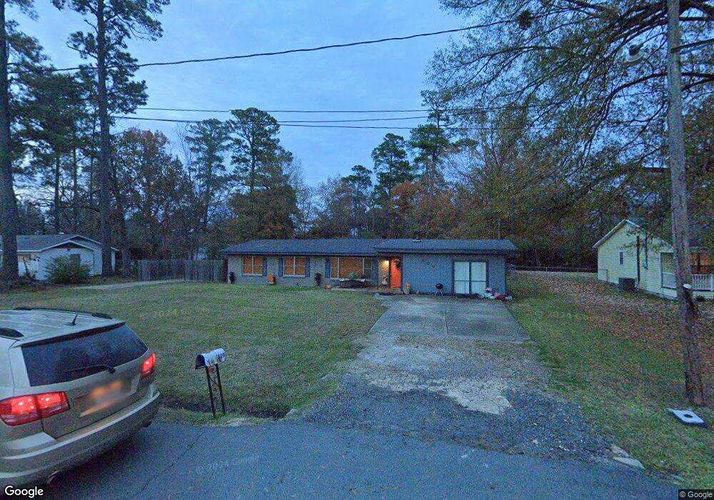
809 Regmar Dr Shreveport, LA 71107
Freestate-North Highlands NeighborhoodEstimated Value: $182,455 - $204,000
3
Beds
2
Baths
1,965
Sq Ft
$100/Sq Ft
Est. Value
About This Home
This home is located at 809 Regmar Dr, Shreveport, LA 71107 and is currently estimated at $195,864, approximately $99 per square foot. 809 Regmar Dr is a home with nearby schools including North Highlands Elementary School, Judson Fundamental Elementary School, and Fairfield Magnet School.
Ownership History
Date
Name
Owned For
Owner Type
Purchase Details
Closed on
Sep 15, 2006
Sold by
Davis John Kenneth and Davis Theresa Marie Ebarb
Bought by
Vinzant Omeccia Brown and Vinzant Charles W
Current Estimated Value
Home Financials for this Owner
Home Financials are based on the most recent Mortgage that was taken out on this home.
Original Mortgage
$114,950
Outstanding Balance
$73,533
Interest Rate
7.9%
Mortgage Type
Unknown
Estimated Equity
$122,331
Create a Home Valuation Report for This Property
The Home Valuation Report is an in-depth analysis detailing your home's value as well as a comparison with similar homes in the area
Home Values in the Area
Average Home Value in this Area
Purchase History
| Date | Buyer | Sale Price | Title Company |
|---|---|---|---|
| Vinzant Omeccia Brown | $121,000 | None Available |
Source: Public Records
Mortgage History
| Date | Status | Borrower | Loan Amount |
|---|---|---|---|
| Open | Vinzant Omeccia Brown | $114,950 |
Source: Public Records
Tax History Compared to Growth
Tax History
| Year | Tax Paid | Tax Assessment Tax Assessment Total Assessment is a certain percentage of the fair market value that is determined by local assessors to be the total taxable value of land and additions on the property. | Land | Improvement |
|---|---|---|---|---|
| 2024 | $2,078 | $13,992 | $914 | $13,078 |
| 2023 | $1,940 | $12,674 | $870 | $11,804 |
| 2022 | $1,940 | $12,674 | $870 | $11,804 |
| 2021 | $1,941 | $12,674 | $870 | $11,804 |
| 2020 | $1,942 | $12,674 | $870 | $11,804 |
| 2019 | $1,912 | $12,602 | $870 | $11,732 |
| 2018 | $819 | $12,602 | $870 | $11,732 |
| 2017 | $1,909 | $12,602 | $870 | $11,732 |
| 2015 | $951 | $13,370 | $870 | $12,500 |
| 2014 | $957 | $13,370 | $870 | $12,500 |
| 2013 | -- | $13,370 | $870 | $12,500 |
Source: Public Records
Map
Nearby Homes
- 961 Pine Hill Rd
- 4803 N Market St
- 838 Ed's Blvd
- 964 Winter Garden Dr Unit 37
- 4821 N Market St
- 4823 N Market St
- 3847 Joseph Randall Dr
- 3843 Joseph Randall Dr
- 3911 Jeffery Kyle Dr
- 906 Lincoln Dr
- 1208 Mcdaniel Dr
- 3725 Old Mooringsport Rd
- 1208 N Pines Dr
- 5036 Asaff Ave
- 743 Lincoln Dr
- 774 Highland Square Dr
- 5037 N Market St
- 955 Roanoke Dr
- 3818 Eddy Place
- 3817 Clintwood Dr
- 815 Regmar Dr
- 801 Regmar Dr
- 801 Regmar Dr
- 4549 Old Mooringsport Rd
- 819 Regmar Dr
- 814 Regmar Dr
- 804 Regmar Dr
- 4545 Old Mooringsport Rd
- 800 Regmar Dr
- 4544 Old Mooringsport Rd
- 4541 Old Mooringsport Rd
- 825 Regmar Dr
- 828 Regmar Dr
- 4617 Old Mooringsport Rd
- 829 Regmar Dr
- 4504 Hunter Ave
- 0 Us-71 Hwy
- 4629 Old Mooringsport Rd
- 900 Regmar Dr
- 901 Regmar Dr